
Examination and Survey of Passaic River, New Jersey
$195.00
Improving the navigability of New Jersey’s Passaic River at the turn of the century.
1 in stock

Description
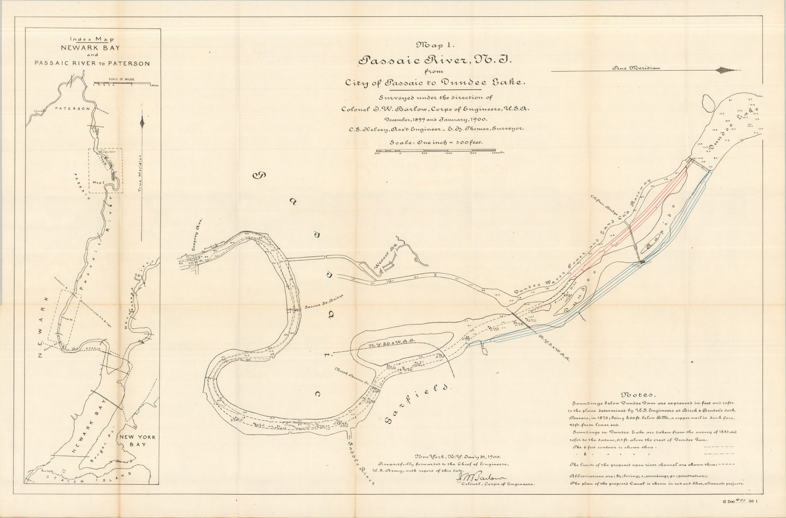
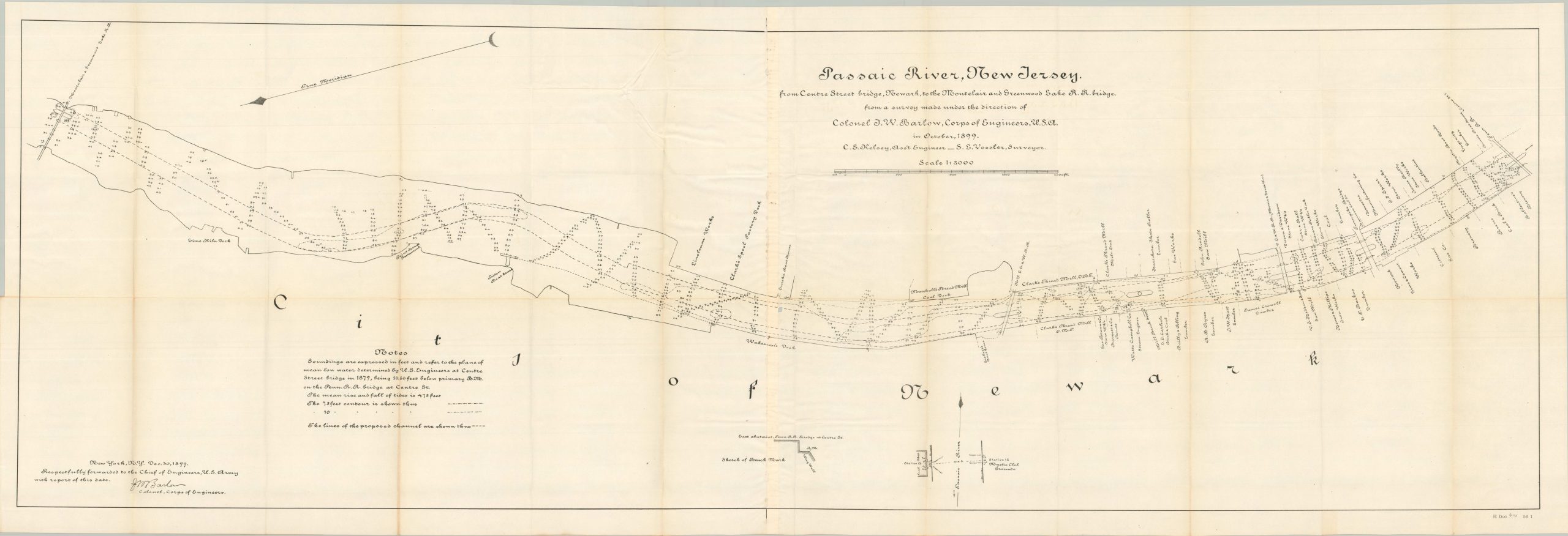
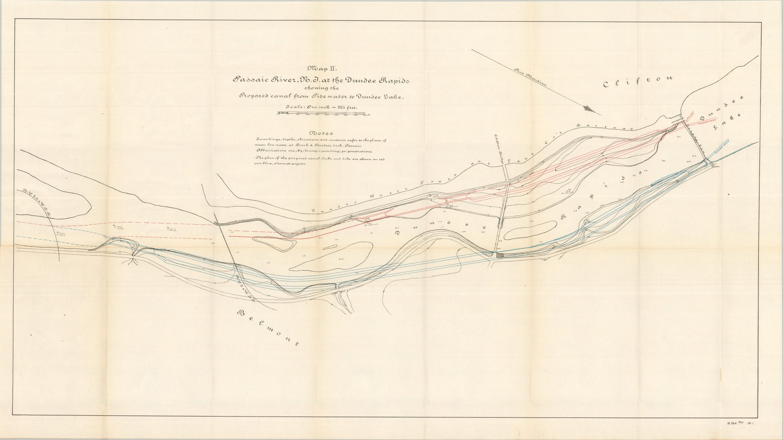
This fascinating report was published in 1900 as part of a Congressional volume about the activities of the Corps of Engineers. It captures the ongoing work to survey, maintain, and improve the Passaic River, an important waterway in northern New Jersey that empties into Newark Bay. Primary efforts focused on deepening and extending the shipping channel, allowing for larger vessels to traverse the area, which was becoming increasingly industrialized in the late 19th and early 20th centuries. Copies of correspondence, summaries of projects, and cost estimates are accompanied by three large fold-out sheets.
Map Details
Publication Date: 1900
Author: U.S. War Department
Sheet Width (in): See Description
Sheet Height (in): See Description
Condition: B+
Condition Description: 23 pages of text, plus three large folding maps, extracted from a broken Congressional report. Ragged left binding edge and minor toning, consistent with age. Maps are singled-sided and show sharp creasing along folds, plus some faint marginal wear. Good condition overall.
$195.00
1 in stock