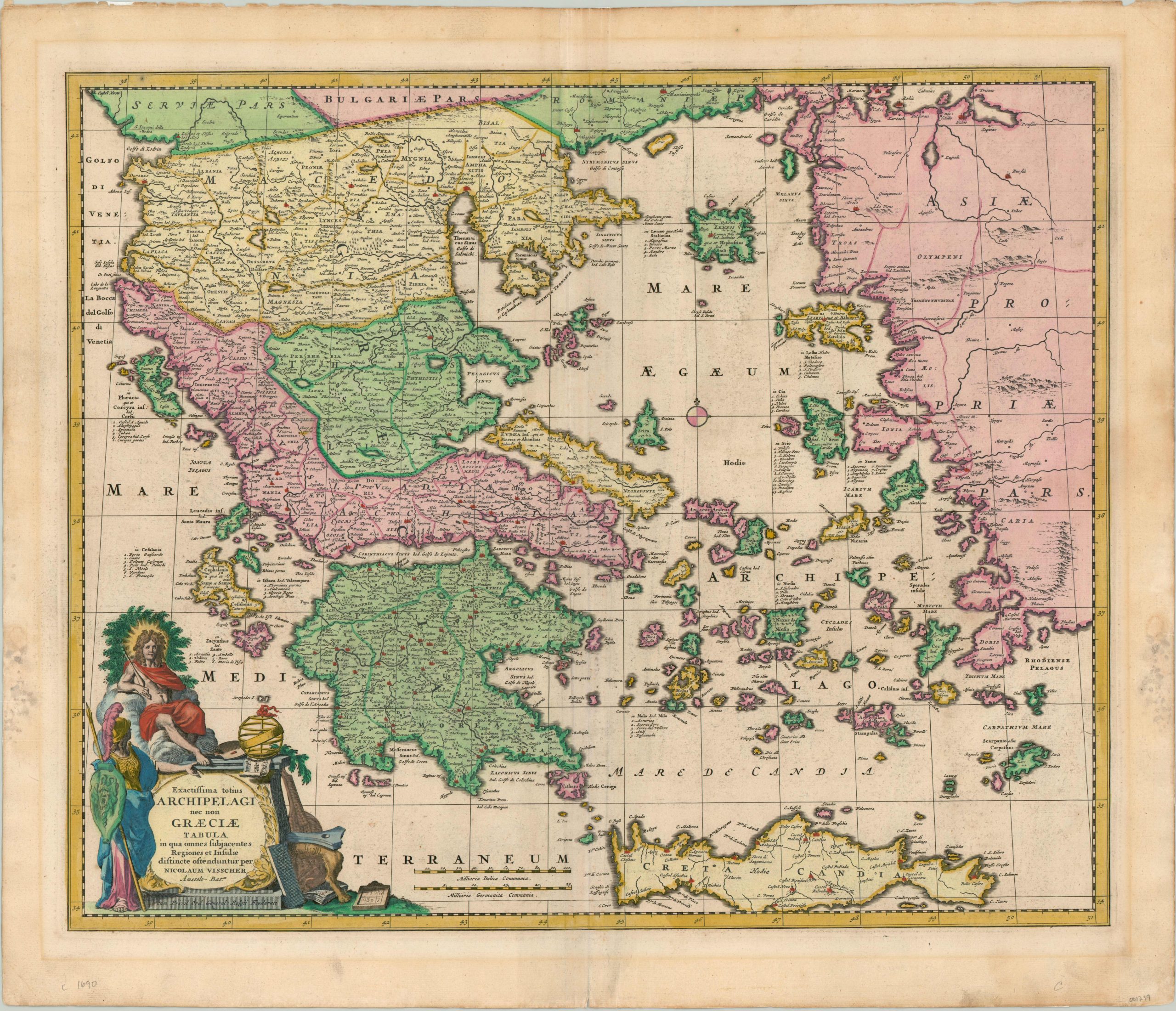
Exactisssima totius Archipelagi nec non Graeciae Tabula
$550.00
Beautiful late 17th century map of Greece by Nicholas Visscher.
1 in stock
Description
This attractive copperplate map of Greece was published in Amsterdam by Nicholas Visscher around 1690. The most stunning feature is the gorgeous, full original hand color. It is used to delineate various political regions and decorate the elaborate title cartouche, which itself was typical of Dutch mapmakers in the 17th century and features numerous symbols of classical antiquity.
The image covers the primary Greek archipelago, large portions of the Aegean Sea, the island of Crete, and western Turkey. At the time of publication, both Greece and Crete were administered as parts of the larger Ottoman Empire.
Map Details
Publication Date: c. 1690
Author: Nicholas Visscher
Sheet Width (in): 24.60
Sheet Height (in): 21.10
Condition: B+
Condition Description: Matte burn visible along the outer edges, away from the image. Moderate wear along the vertical centerfold and faint soiling within the image. Remains in very good to excellent condition overall.
$550.00
1 in stock

