Evanston, Ill.
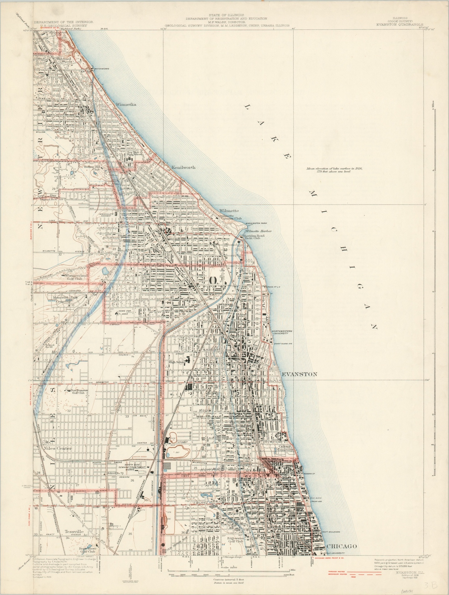
U.S.G.S. topographic map of Evanston, Illinois.
Out of stock
Description
This detailed map of Evanston, Illinois, and the surrounding area provides a fascinating snapshot of Chicago’s popular North Shore suburb during the Great Depression. Buildings are individually outlined, roads are shown according to their surface composition (further info lower right), and geographic information is transmitted via pictorial elements and contoured topography.
Locations of interest within the image include Northwestern and Loyola Universities, the lines of the Old Indian Boundary, Sheridan Road Yacht Club, and several country clubs.
The map was originally published in 1928 by the United States Geological Survey under the authority of topographic engineer O.H. Nelson. This example has been updated to reflect changes as of 1931.
Map Details
Publication Date: 1931
Author: United States Geological Survey
Sheet Width (in): 19.25
Sheet Height (in): 25.5
Condition: B+
Condition Description: Moderate toning and soiling visible along the top of the page, and a few dirty fingerprints can be seen elsewhere in the margins. Manuscript annotations in pencil and blue ink within the image.
Out of stock