Evacuation Map and Instructions Prepared by the Denver Civil Defense Office
$195.00
This Map May Save Your Life.
1 in stock

Description
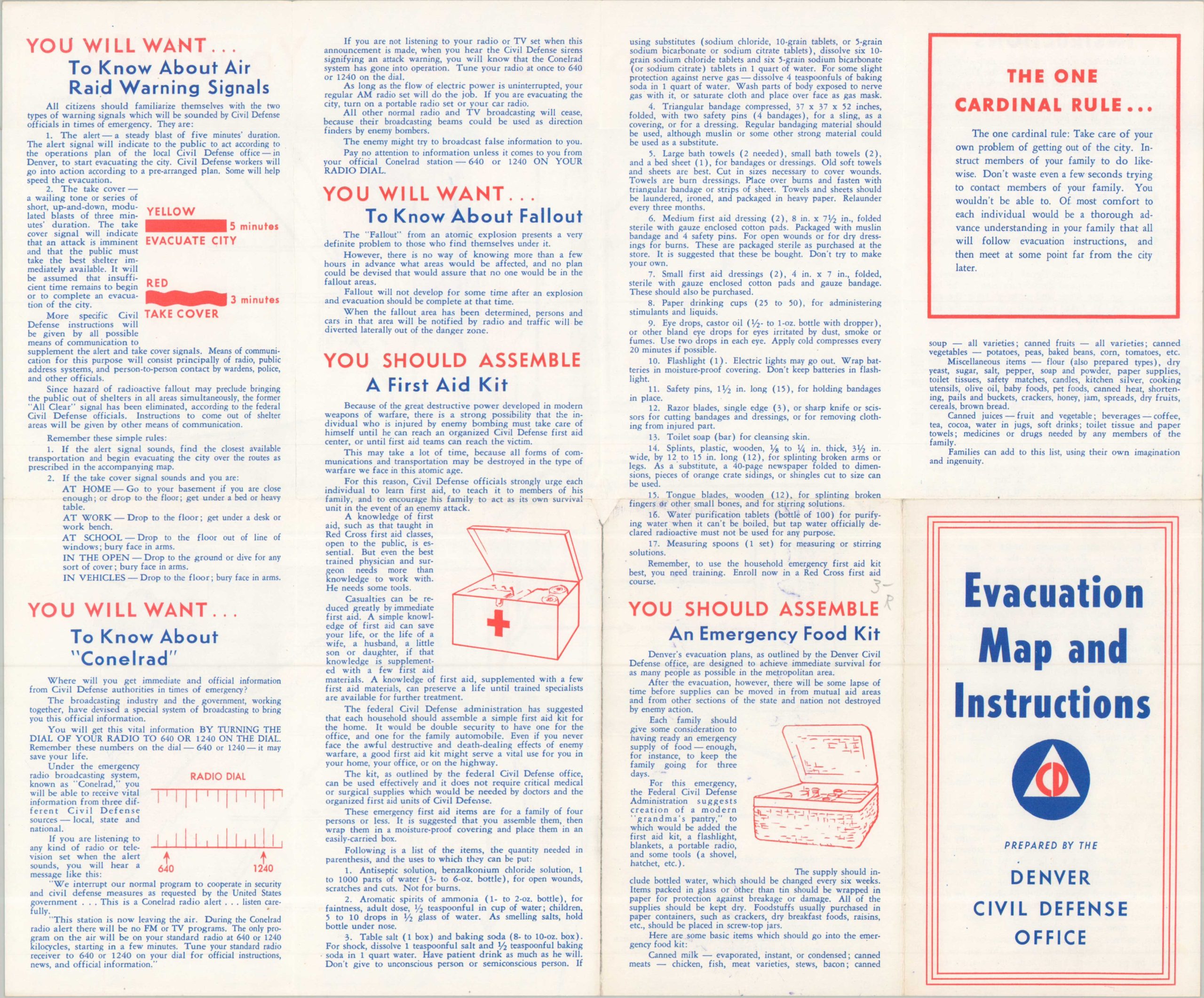
“Here is Denver’s official evacuation map – a ‘passport to safety’ vital to every person in the Denver area in the event of a threatened bomb attack or disaster.” – Text, upper left.
This simple map and instruction guide was issued for the residents of Denver in the early 1950s by the local Civil Defense Office. An outline plan, courtesy of the Denver Post, presents the main thoroughfares through which evacuation was planned in the event of a nuclear attack. Various shades of blue and red distinguish the areas designated for that particular route. Accompanying text provides further information on the evacuation procedures, while the verso offers tips on air raid signals, radio broadcasts, nuclear fallout, emergency first aid, and home preparedness. A dreary reminder of the day-to-day life during the Cold War.
Map Details
Publication Date: 1951
Author: Fred & Angie O'Dorisio
Sheet Width (in): 14.75
Sheet Height (in): 12.40
Condition: A
Condition Description: Double-sided leaflet with centerfold map, lightly worn. Very good to near fine.
$195.00
1 in stock