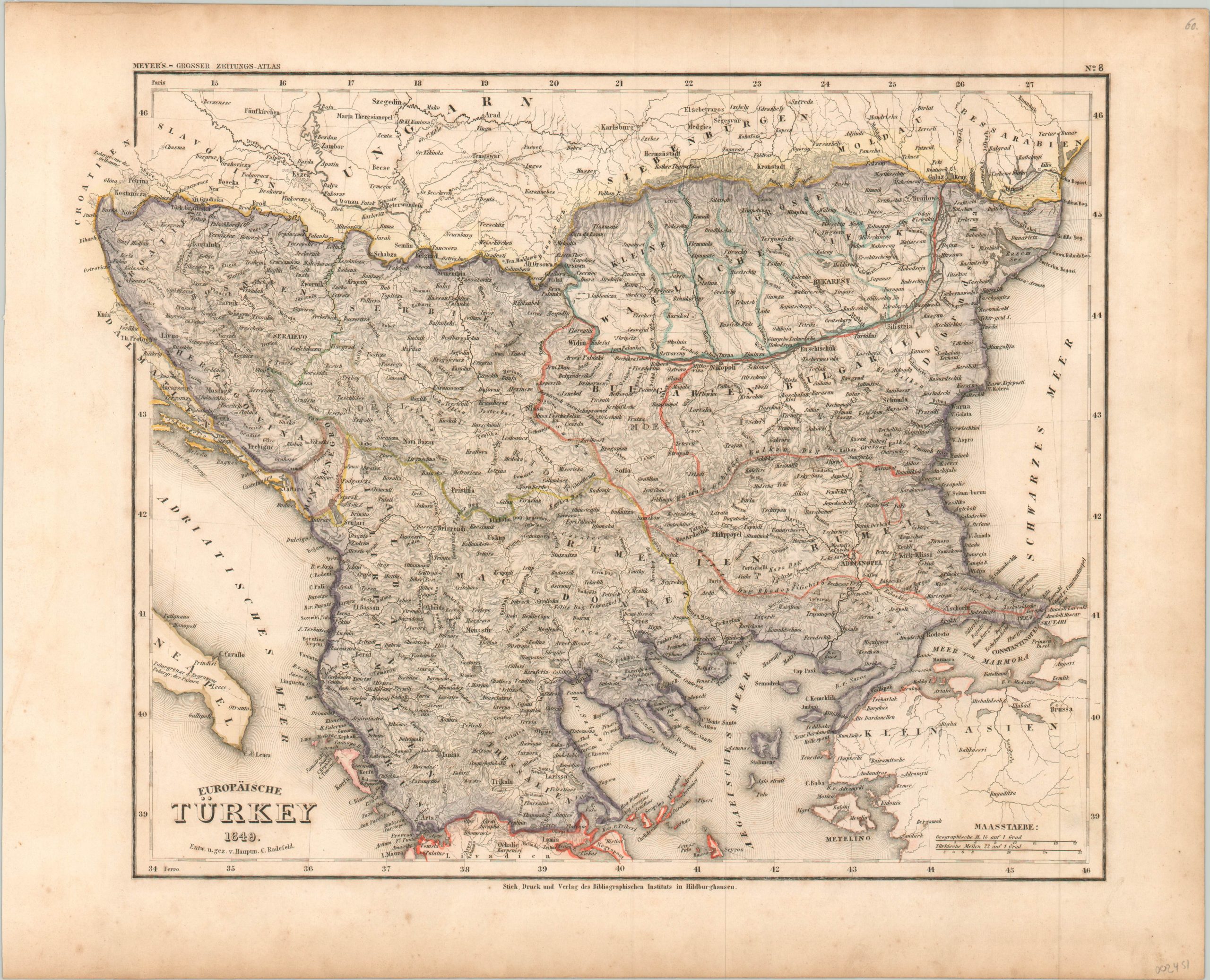
Europaische Turkey 1849.
Finely engraved map of the Ottoman Empire in Europe during the mid-19th century.
Out of stock
Description
This attractive steel plate engraved map was drawn and engraved by Hauptmann Radefeld and published in Meyer’s Zeitungsatlas around 1849. At the time of publication, Ottoman authority over the Balkans was tenuous, and nationalism across the region was on the rise.
The Greeks had won independence less than two decades prior, and various political groups were forming across Albania, Bulgaria, and Serbia with the same goal in mind. The region’s mountainous terrain is depicted with in simple hachure, while original hand color defining various political divisions of ‘Turkish Europe.’
Map Details
Publication Date: c. 1849
Author: Hauptmann Radefeld
Sheet Width (in): 17.00
Sheet Height (in):
Condition: B+
Condition Description: Moderate soiling and toning confined mostly the margins, with a bit of light spotting in a few areas across the image.
Out of stock