
Etats-Unis du Mexique
$110.00
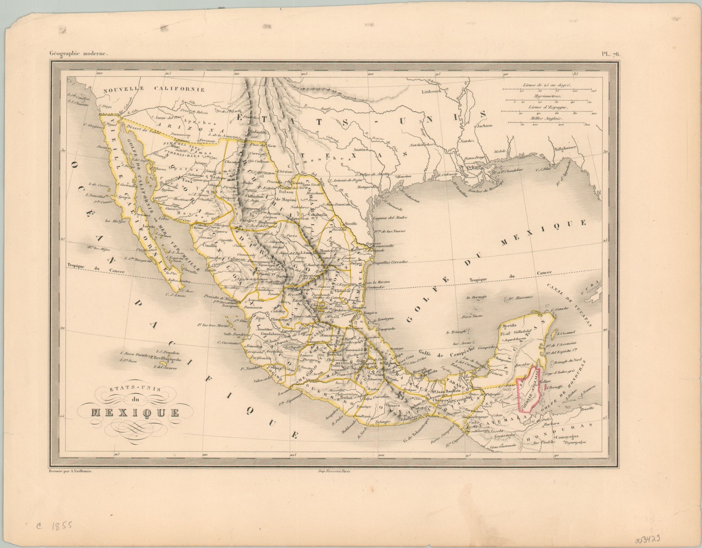
The United States of Mexico’ in the mid-19th century.
1 in stock
Description
This wonderfully detailed steel engraved map of Mexico was published in Paris around 1855 by Alexandre Vuillemin as plate 76 in his atlas Geographie Moderne. The image includes a portion of the southern United and Central America, though the emphasis is on the political organization and geography of Mexico.
Original outline color identifies the various states in yellow, while a red border indicates the colony of British Honduras (modern Belize). Topography is shown in hachure and four distance scales are provided in the upper right.
Map Details
Publication Date: 1855
Author: Alexandre Vuillemin
Sheet Width (in): 14.50
Sheet Height (in): 11.40
Condition: A-
Condition Description: A bit of faint soiling and a few small edge tears are confined to the margin, otherwise in near fine condition.
$110.00
1 in stock