[ESSO War Maps]
$125.00
Esso’s (Standard Oil, ‘S’ – ‘O’) three maps covering the Second World War.
1 in stock
Description
This group of three maps was published by the General Drafting Company of New Jersey on behalf of the Esso Oil Corporation. Brief descriptions of each follow:
Esso War Map Featuring Transportation – The focus of this Esso War Map (one of three published by the oil company during the war) is on global transportation. The main map presents the world on the Miller Cylindrical Projection and emphasizes distances by sea. A smaller inset map, using a North Polar projection, shows a different perspective and stresses the length between various points by air. The verso presents a host of Esso related propaganda about how oil is directly related to the war effort. “Fuel for Speed and Power,” “War-Time Lubricants,” “Rubber from Oil” and more! An interesting piece of wartime promotion that shows one way some Americans would have consumed information about the ongoing conflict overseas.
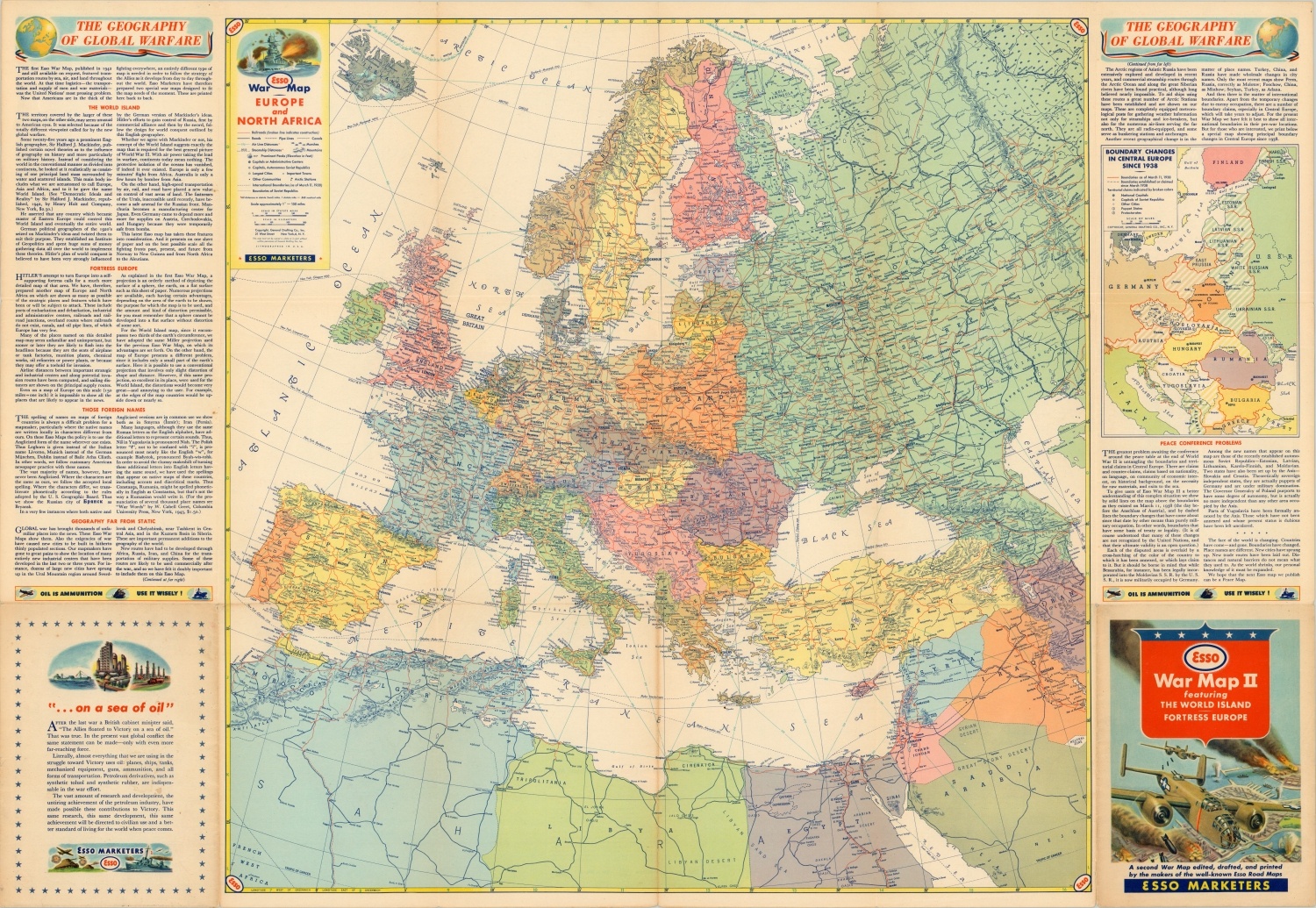
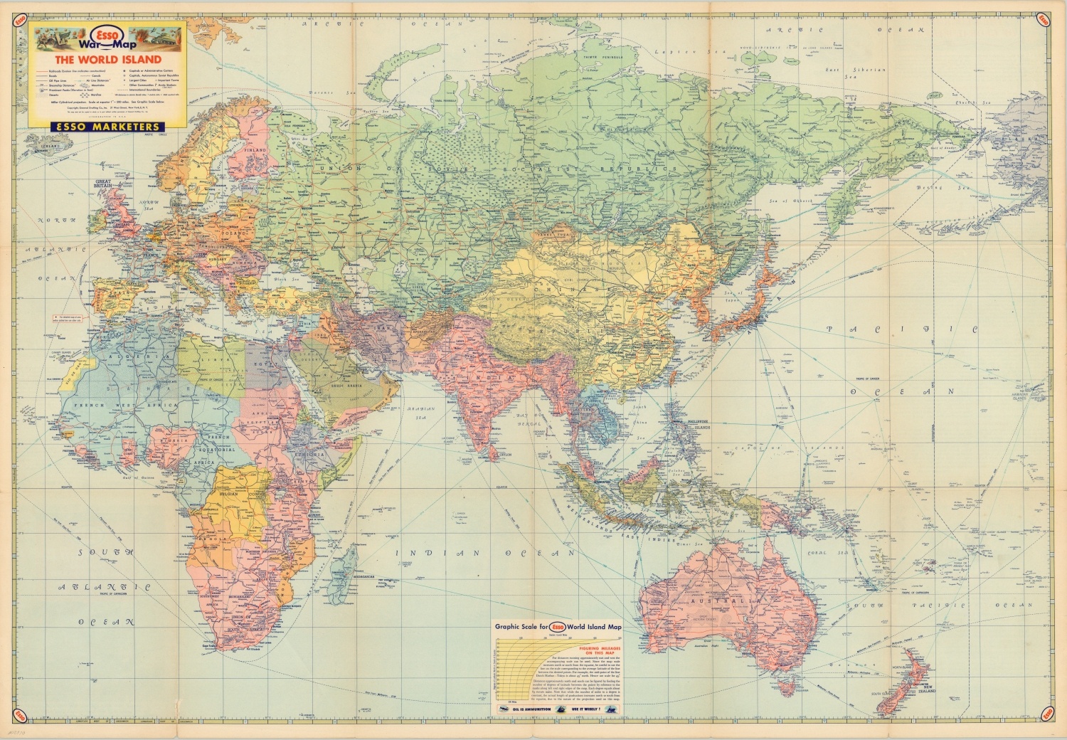
Esso War Map II Featuring the World Island – The primary image shows the Eastern Hemisphere between the Atlantic and Pacific Oceans. A standard political map with supplemental war information. The verso includes a more detailed picture of the European and North African theaters, with accompanying text detailing ‘The Geography of Global Warfare.’
Esso War Map III Featuring the Pacific Theater – This is an incredibly detailed overview of the Pacific Theater, showing infrastructure, topography, place names and more. Japan, the Philippines and numerous insets are presented on one side, while a small scale map of the entire theater is on the other. Individually numbered locations correspond to the separately published Esso War News, making the overall piece a formidable source of wartime intelligence for the armchair generals at home.
Map Details
Publication Date: 1942 - 1944
Author: General Drafting Company
Sheet Width (in): 32.75
Sheet Height (in): 22.50
Condition: B+
Condition Description: Three folding maps, each measuring approximately 32.75" x 22.5", with creasing and moderate wear along fold lines. One hole in Map No. II, and several areas of separation and tearing along fold lines on the other sheets. Each remains in good condition overall.
$125.00
1 in stock


