
Erickson’s Map of Point Reyes National Seashore
$50.00
Enjoying Point Reyes in the early 1980s.
1 in stock
Description
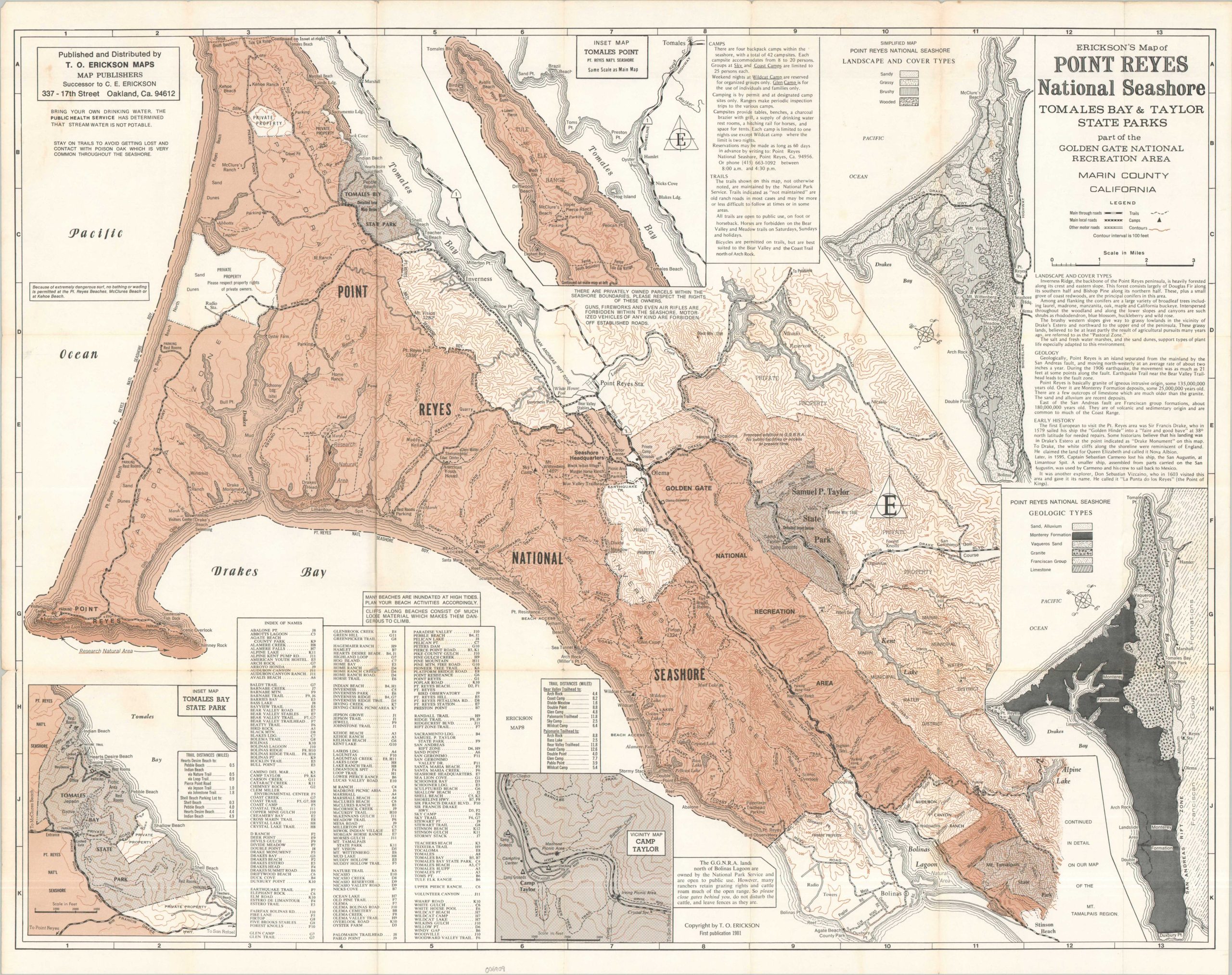
This informative map of California’s Point Reyes National Seashore was published in Oakland in 1981 by T.O. Erickson, the successor to C.E. Erickson. Hiking trails, visitor amenities, and notable landmarks are just a few of the features labeled throughout the image. Inset maps provide outlines of the physical landscape and geological types that comprise the area.
Map Details
Publication Date: 1981
Author: T.O. Erickson
Sheet Width (in): 28.5
Sheet Height (in): 22.75
Condition: B+
Condition Description: Single-sided map originally folded into 21 segments, with original paper envelope. Creased and moderately worn along old folds, with several areas of spotting and moderate toning. About good condition overall. Blank on verso.
$50.00
1 in stock