Epoch Maps Illustrating American History
$80.00
Historical geography of the United States (after about 1650 or so).
1 in stock
Description
“The territorial development of the United States, and the status of territorial slavery, are questions on which no two investigators will precisely agree; the principle adopted has been to make the maps conform to the official treaties and to the laws of the United States, as understood at the time when they were negotiated or enacted.” – Preface.
This simple little atlas was originally compiled by Dr. Albert Bushnell Hart, Associate Professor of History at Harvard University, in 1891. This is an updated example, published in New York by Longmans, Green, & Co. in 1892.
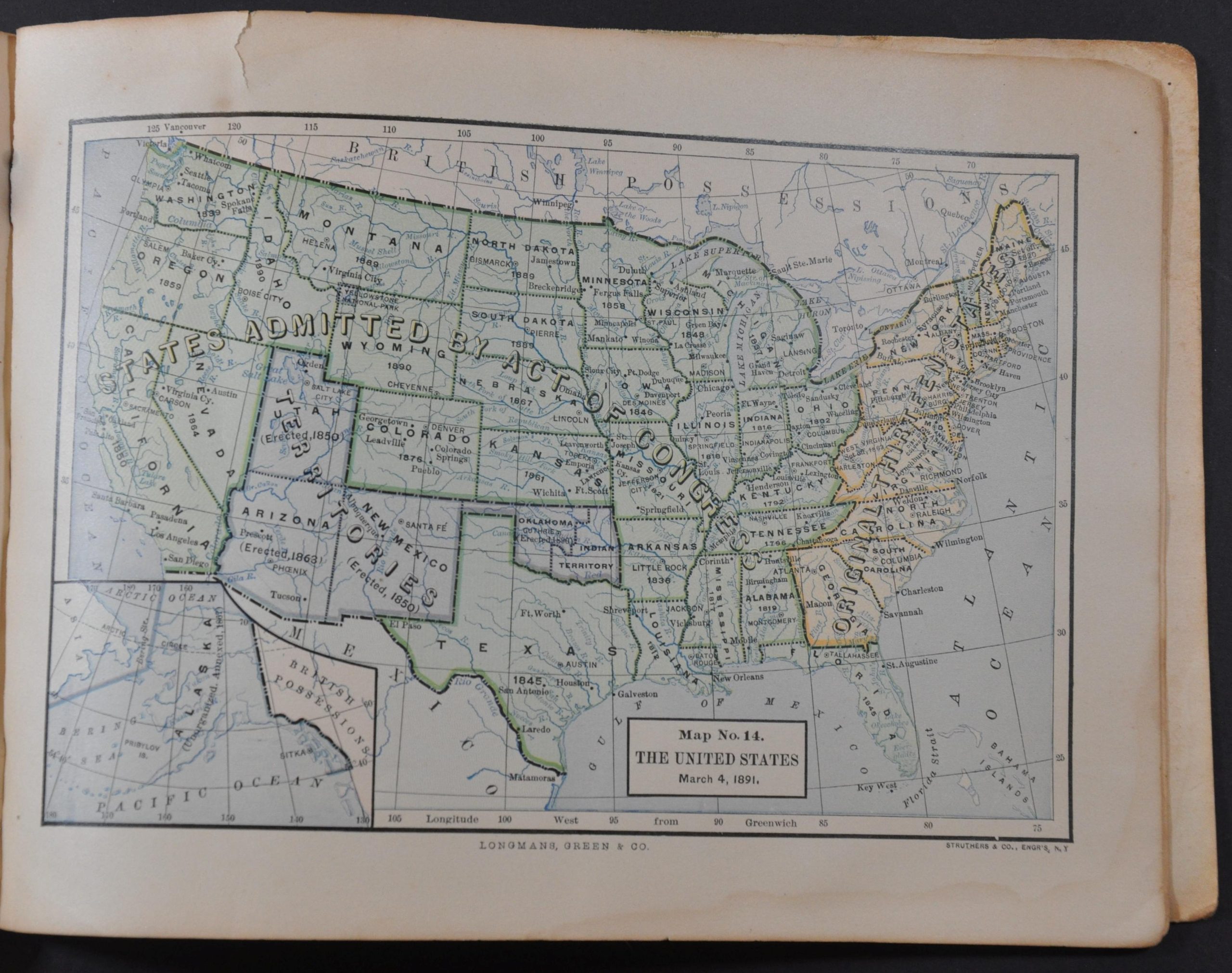
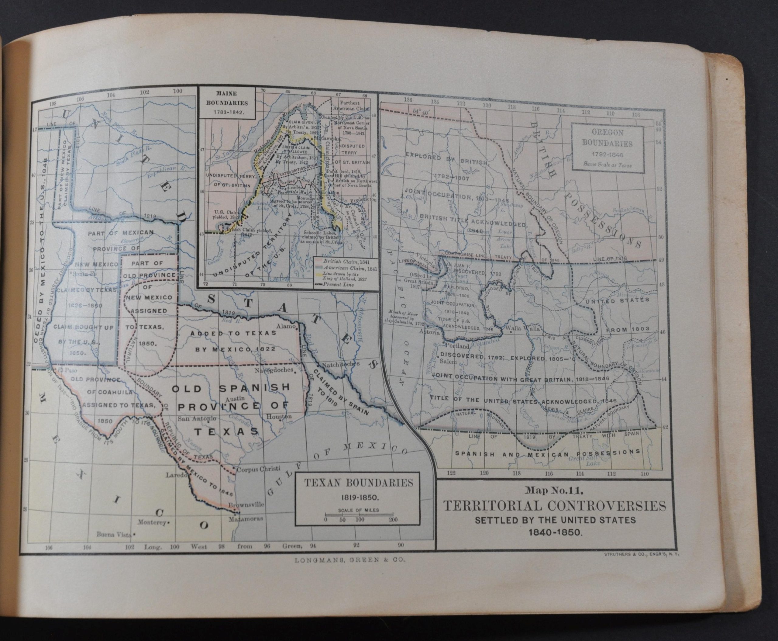
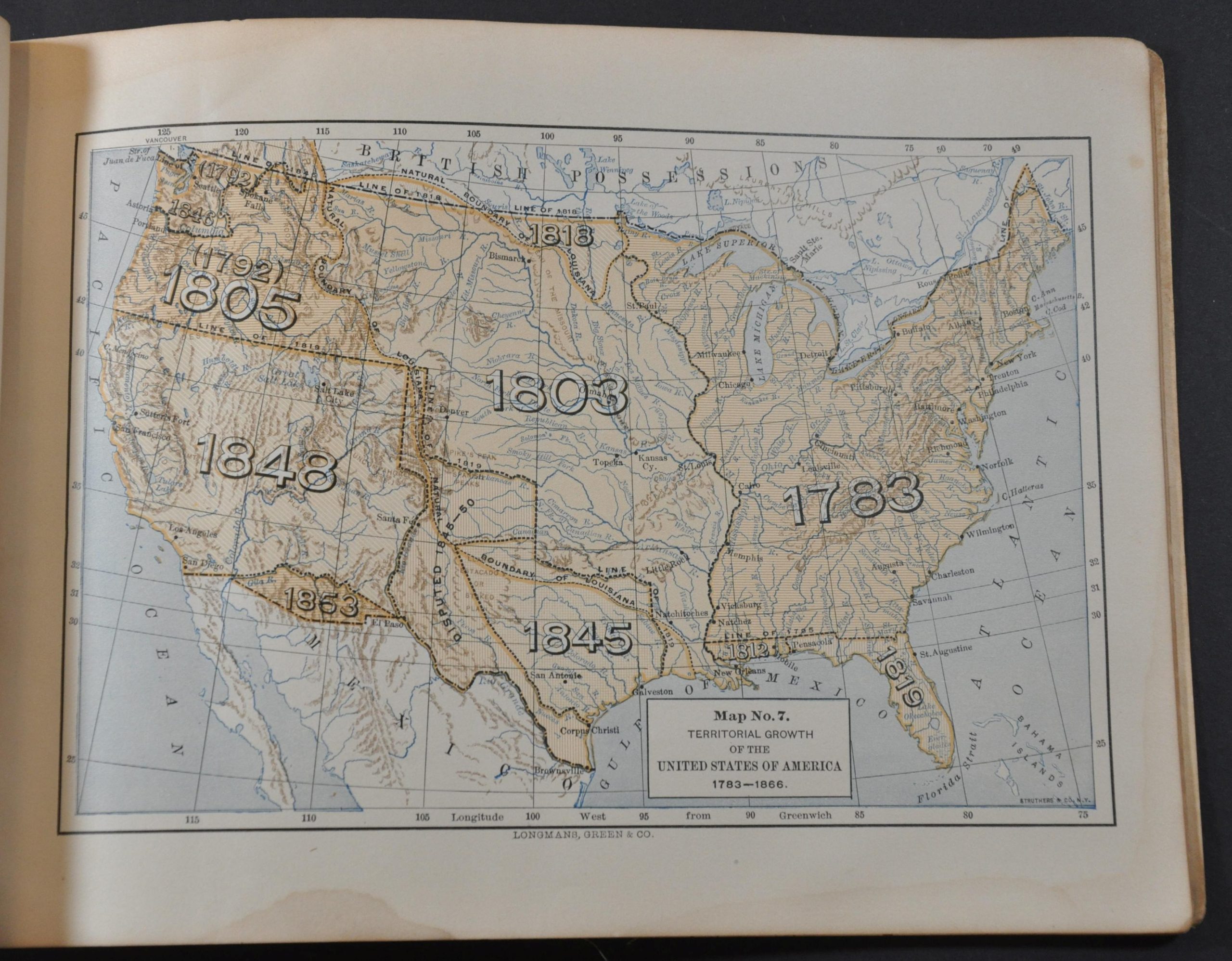
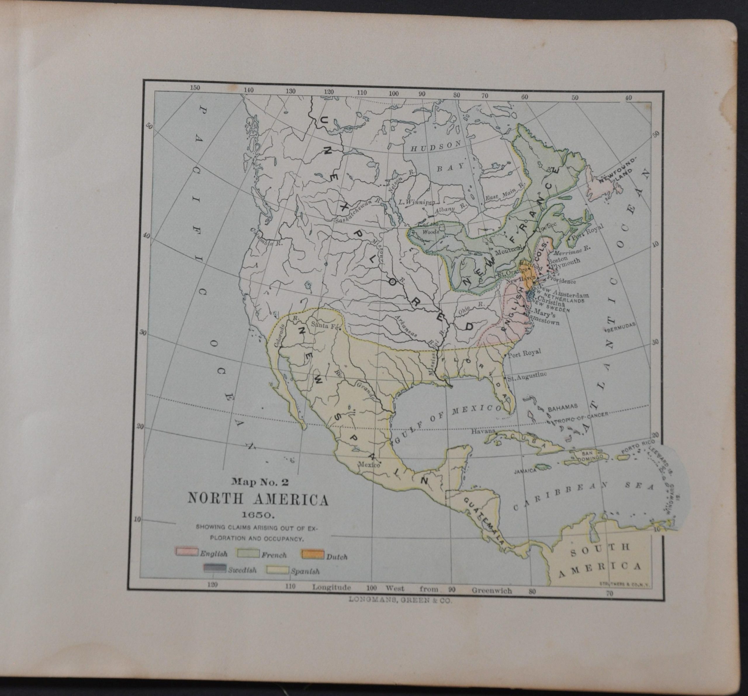
Its fourteen color lithographed maps highlight the development of the United States from the mid-17th to the late-19th century. Themes of colonial possessions, the Civil War, the nation’s physical features, and westward expansion are covered with a number of detailed images, though there is no mention given whatsoever to Native Americans.
Map Details
Publication Date: 1892
Author: Albert Bushnell Hart
Sheet Width (in): 9.5
Sheet Height (in): 7
Condition: B+
Condition Description: 36 pp. atlas with 14 single page maps of the United State bound in original green cloth. Damp staining visible in the bottom margin of each map. Toning, creased corners, and moderate wear throughout - consistent with age and use. About good condition overall.
$80.00
1 in stock


