England’s Lakes and Fells
Lovely pictorial map of England’s Lake District.
Out of stock
Description
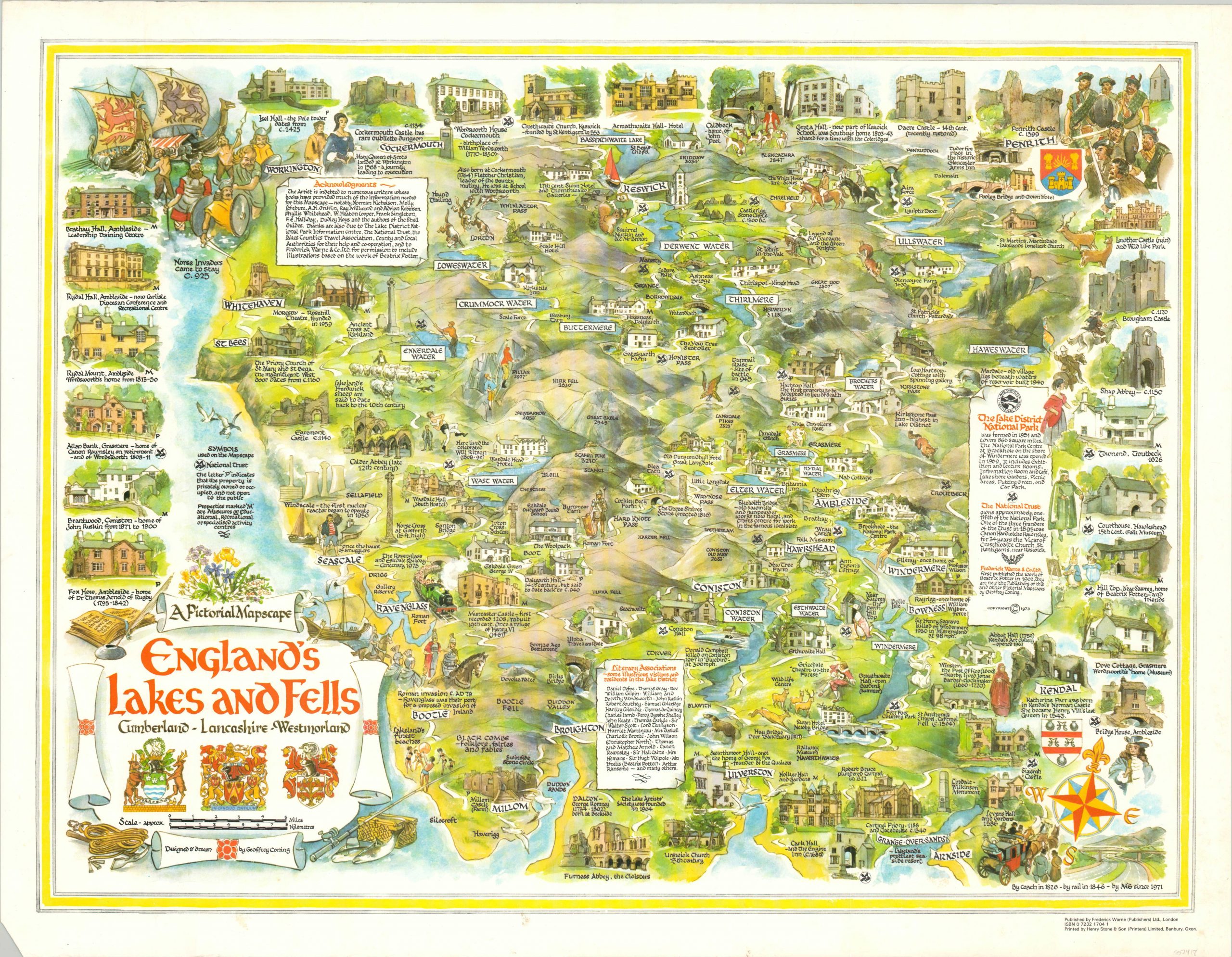
This charming cartoon map emphasizes the various characteristics that have made England’s Lake District a popular tourist destination for hundreds of years. The region is situated in the northeast of the country and is comprised of the counties of Cumberland, Lancashire, and Westmoreland.
The rugged topography (fell is another word for mountain) and numerous lakes and forests are boldly illustrated. Historic locations are identified throughout, and a number of views of important old buildings can be seen across edges of the sheet. Annotations within the image further reference people and places of historical interest, though more modern conveniences and institutions (such as the recently completed M6 highway) are also referenced.
The image was drawn by Geoffrey Coning and published in London by Frederick Warne in 1973.
Map Details
Publication Date: 1973
Author: Geoffrey Coning
Sheet Width (in): 25.30
Sheet Height (in): See Description
Condition: A
Condition Description: A bit of extraneous creasing from where the map was previously rolled, but in near fine condition overall.
Out of stock