Empire of Japan
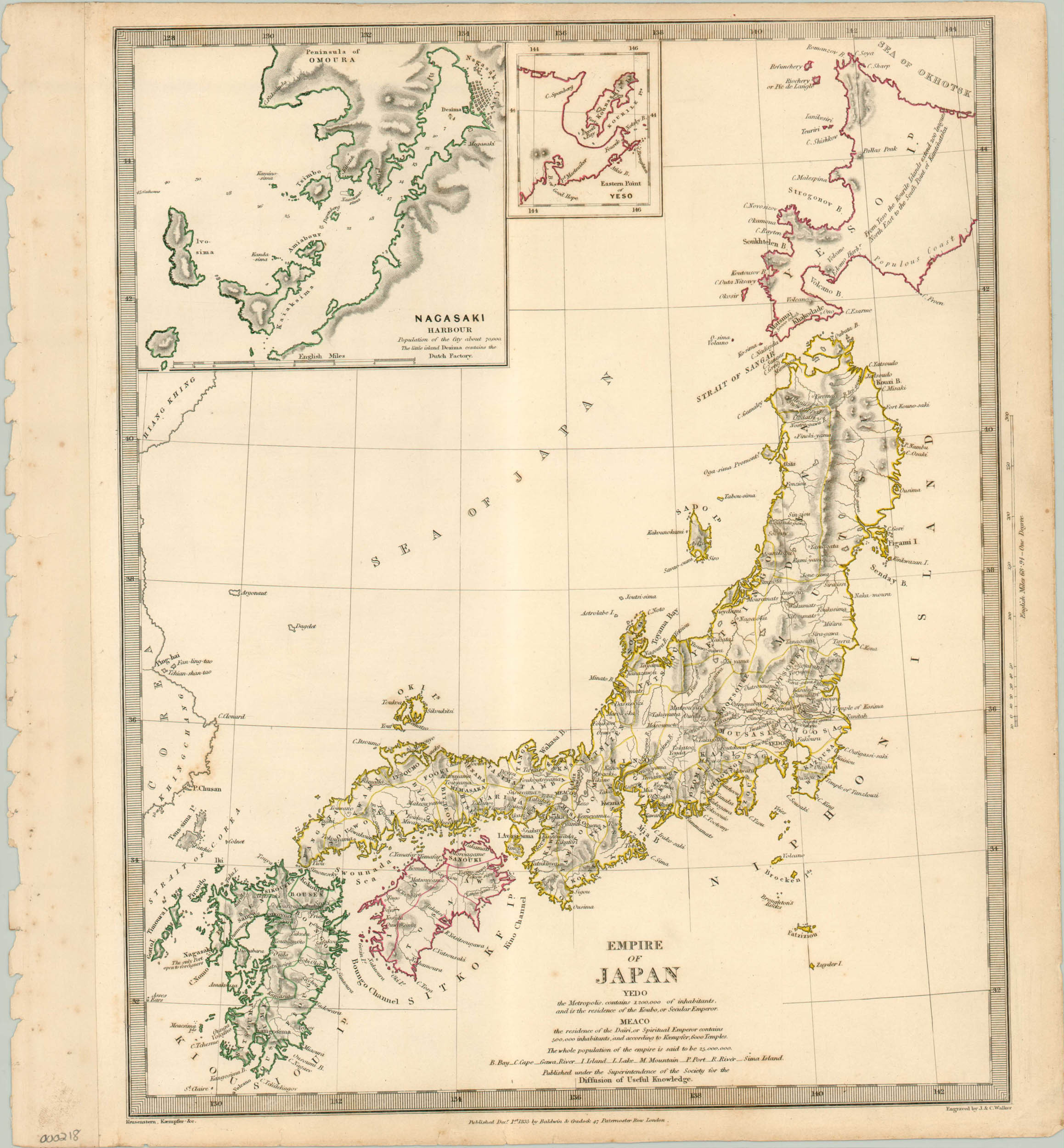
Nicely engraved map of the four main Japanese islands during the Edo Period.
Out of stock
Description
Published by the S.D.U.K. during the Tokugawa Shogunate, this map shows the four main islands of Japan – Hokkaido, Honshu, Shikoku, Kyushu and an inset of Nagasaki harbor. Western contact with the Japanese was limited primarily to Christian missionaries and the single Dutch factory via Nagasaki until the fleet of Matthew Perry would pry open the doors of “cultural acclimation” much more forcefully in 1854. External influence made possible by this American introduction to the west would exacerbate internal divisions in Japan, tangibly contributing to the downfall of the shogunate and the rise of Emperor Meiji in 1868.
The map labels topographical details like rivers, capes, mountains and ports and locates major cities within each daimyo’s, or feudal lord’s, region. Statistics for Yedo (Tokyo) lists 1.2 million inhabitants, while Meaco (Kyoto) is home to over 500,000.
Map Details
Publication Date: 1835
Author: Society for Diffusion of Useful Knowledge
Sheet Width (in): 15
Sheet Height (in): 16
Condition: B
Condition Description: The map is in good condition, with edge wear and a ragged margin. Some soiling present. Original hand outline color.
Out of stock

