
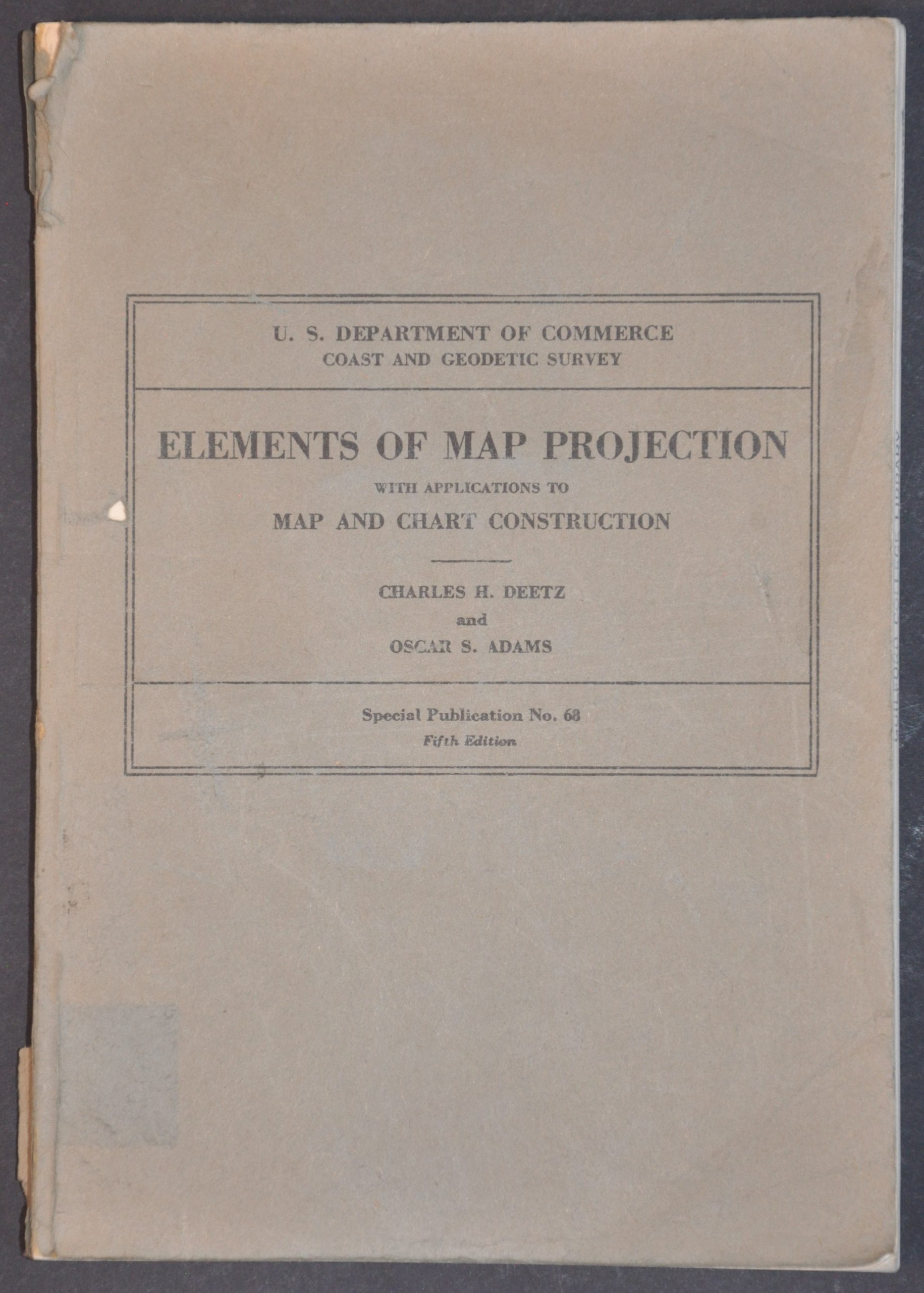
Elements of Map Projection with Applications to Map and Chart Construction
$50.00
An informative mid-century examination of numerous different map projections.
1 in stock
Description
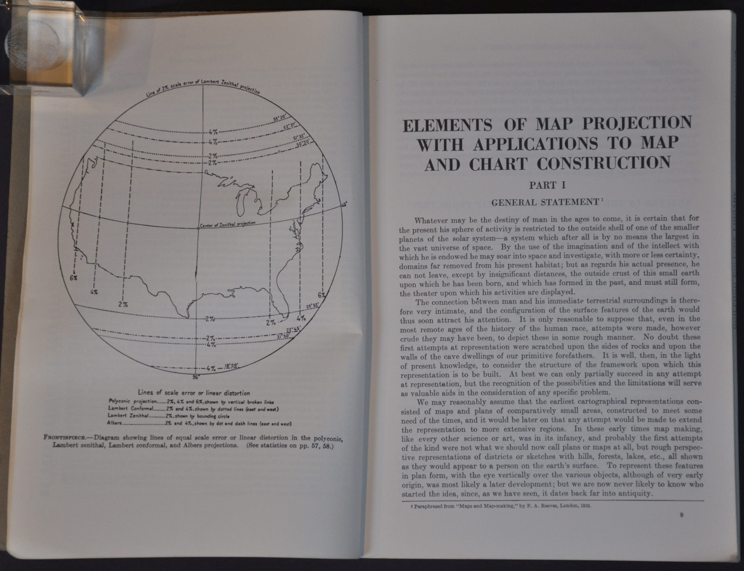
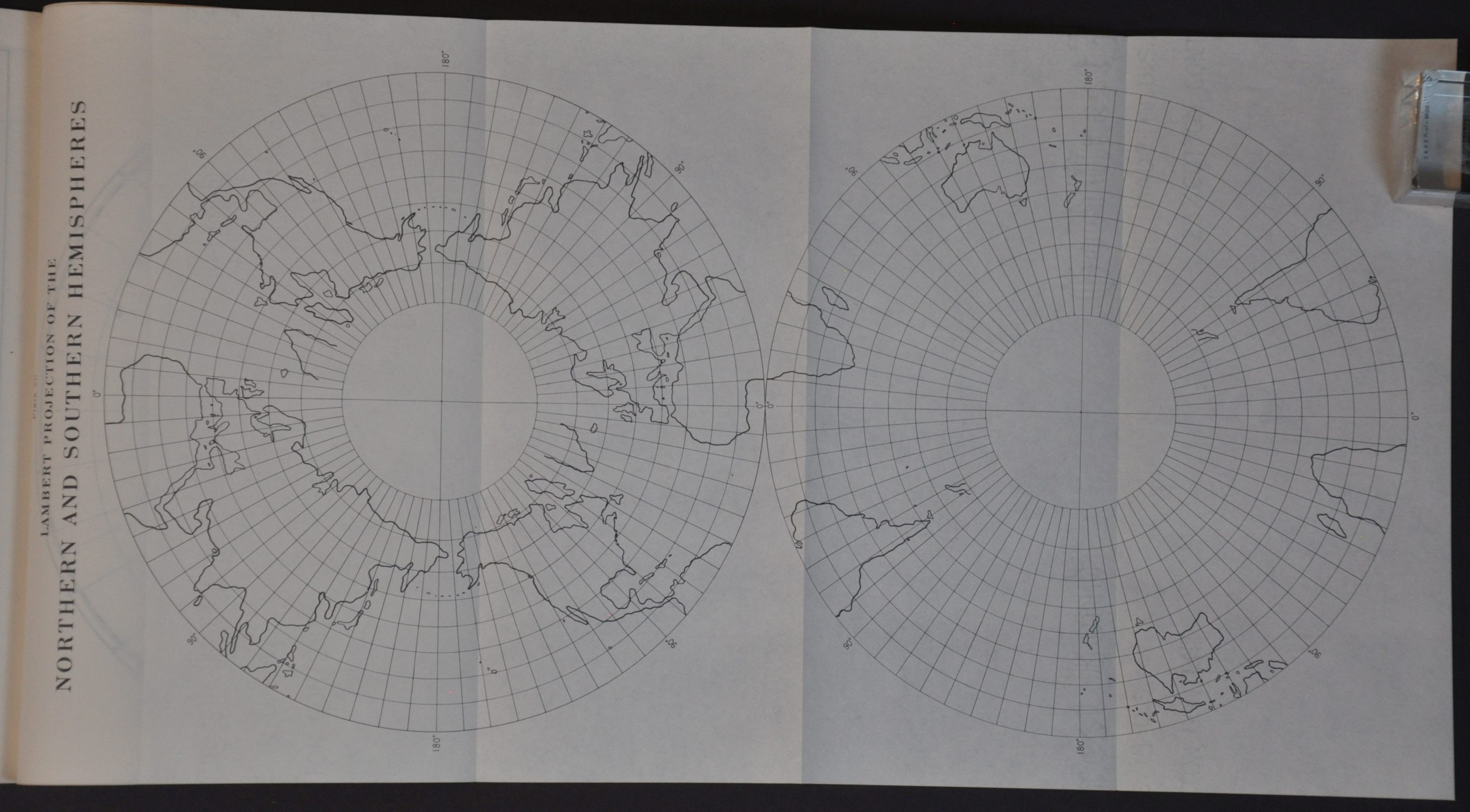
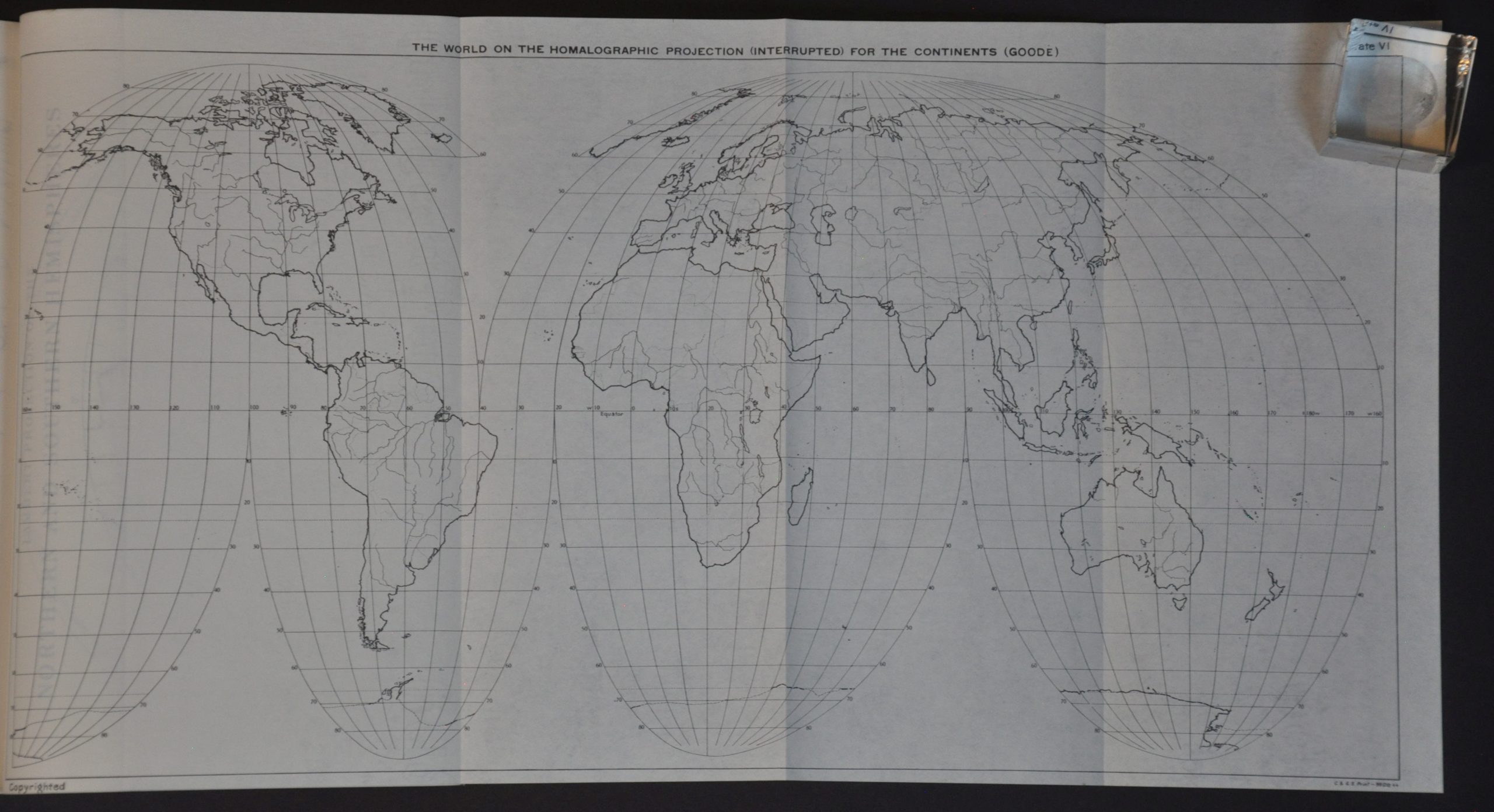
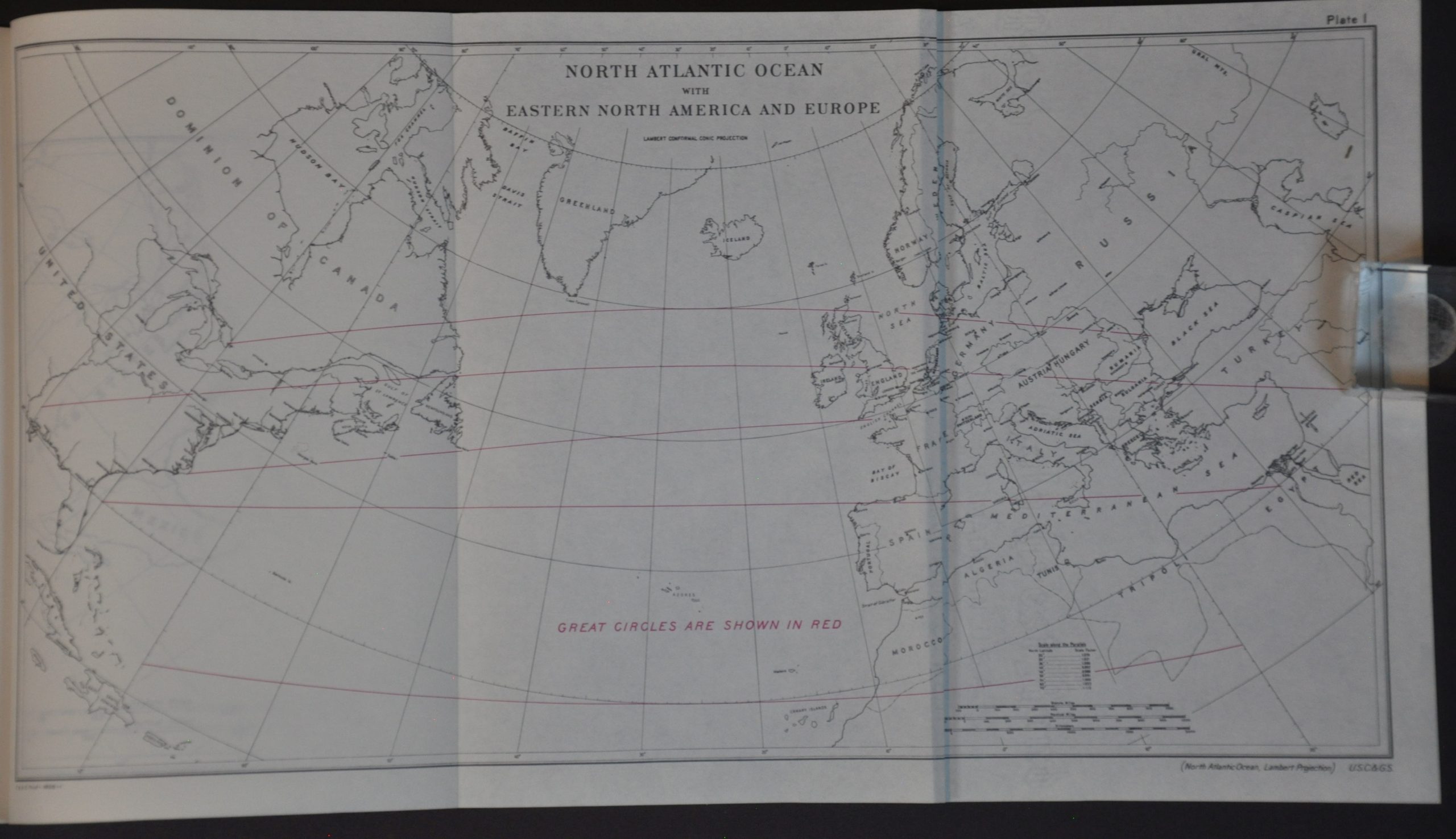
This instructional government publication offers an impressive technical analysis and guide to mapmaking strategies. Originally issued during WWII, the techniques outlined therein were vital to the cartographers charting Allied military movements by land, sea, and air. Contents describe numerous map projections, with fifteen fold-out world maps visualizing the pros and cons using different examples.
The volume was edited by Charles H. Deetz and Oscar Adams of the U.S. Coast and Geodetic Survey. Originally published in 1945 by the Government Printing Office – this is a later reprinting from 1961.
Map Details
Publication Date: 1961
Author: Charles H. Deetz and Oscar S. Adams
Sheet Width (in): 6.90
Sheet Height (in): 10.00
Condition: A-
Condition Description: Ex-libris from the Guilford College Library. 226 pp. volume bound in original gray paper wraps, worn and tattered (especially the back). Toning and light wear on the title page and along the fore-edge of some of the contents. Complete, with all fifteen folding plates.
$50.00
1 in stock