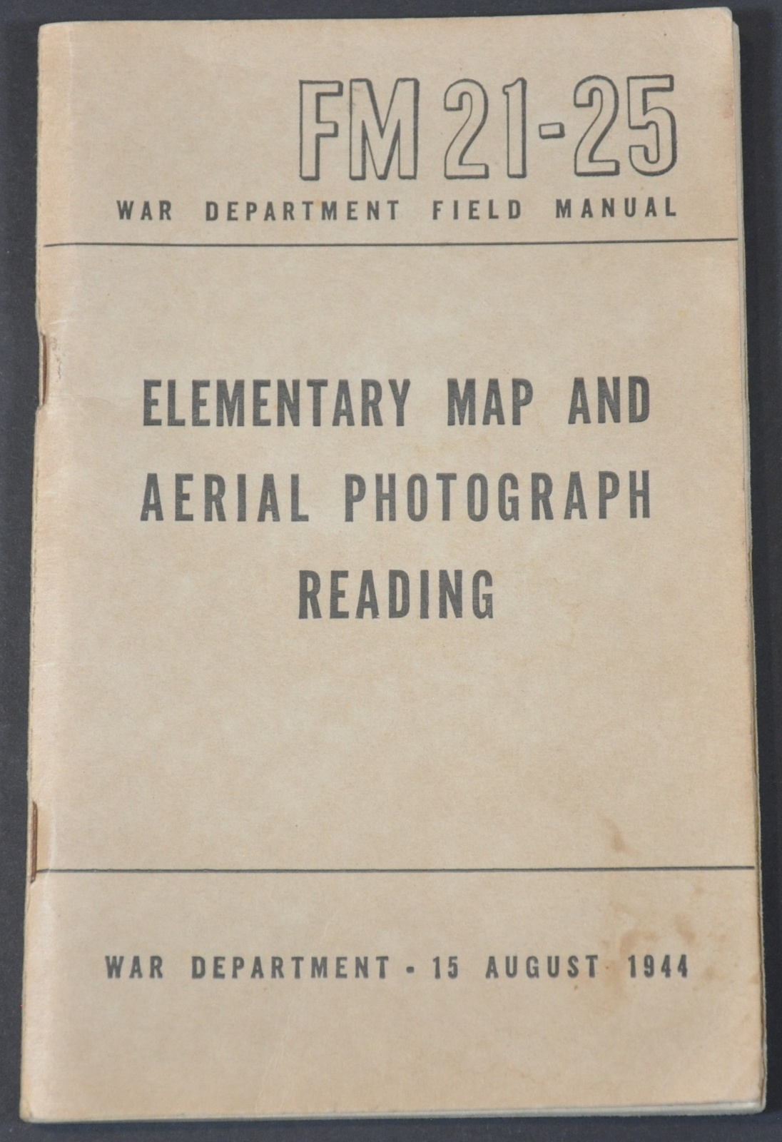
Elementary Map and Aerial Photograph Reading
$45.00
Reading a map through the pages of a WWII soldier.
1 in stock
Description
Aimed for general distribution among the armed forces, this is a basic overview of how to read and interpret both printed maps and aerial photographs. Thirteen chapters across 116 pages cover topics ranging from “How High Is It?” to “Taking Care of Your Map” (if in danger of capture, burn it).
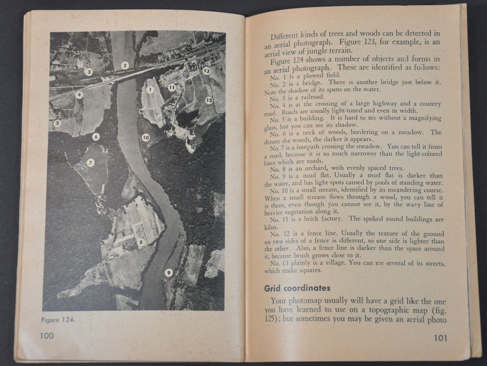
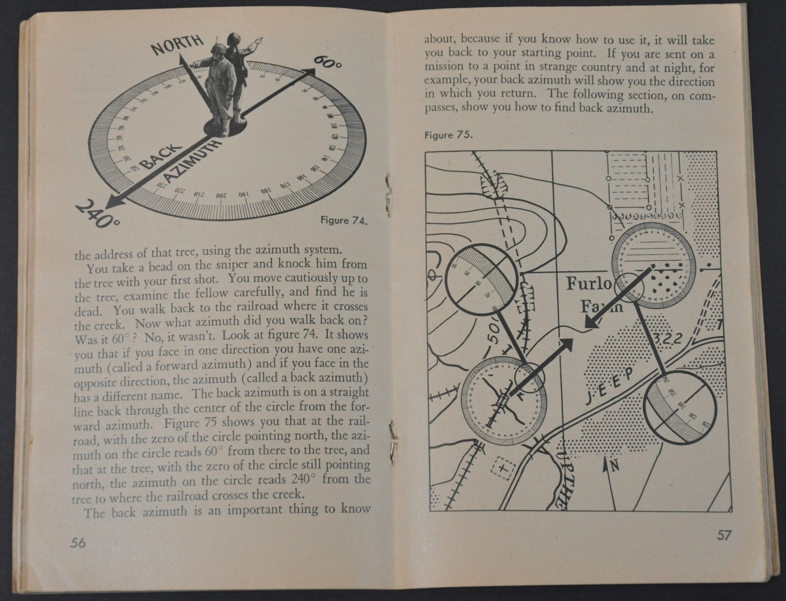
Includes helpful photographs, diagrams, and maps, legends of common military symbols, and recommendations on strategic interpretation. Such a field manual gives some indication of how important cartography was to the general operations of the war.
Map Details
Publication Date: 1944
Author: U.S. War Department
Sheet Width (in): See Description
Sheet Height (in): See Description
Condition: A-
Condition Description: 116 pp. field manual, approximately 6.75" x 4.4", with stapled binding and brown paper covers. Minor soiling on the front cover and creased corners, otherwise excellent.
$45.00
1 in stock


