
Eilers Map New Testament Palestine
Mapping the geography of the New Testament.
Out of stock
Description
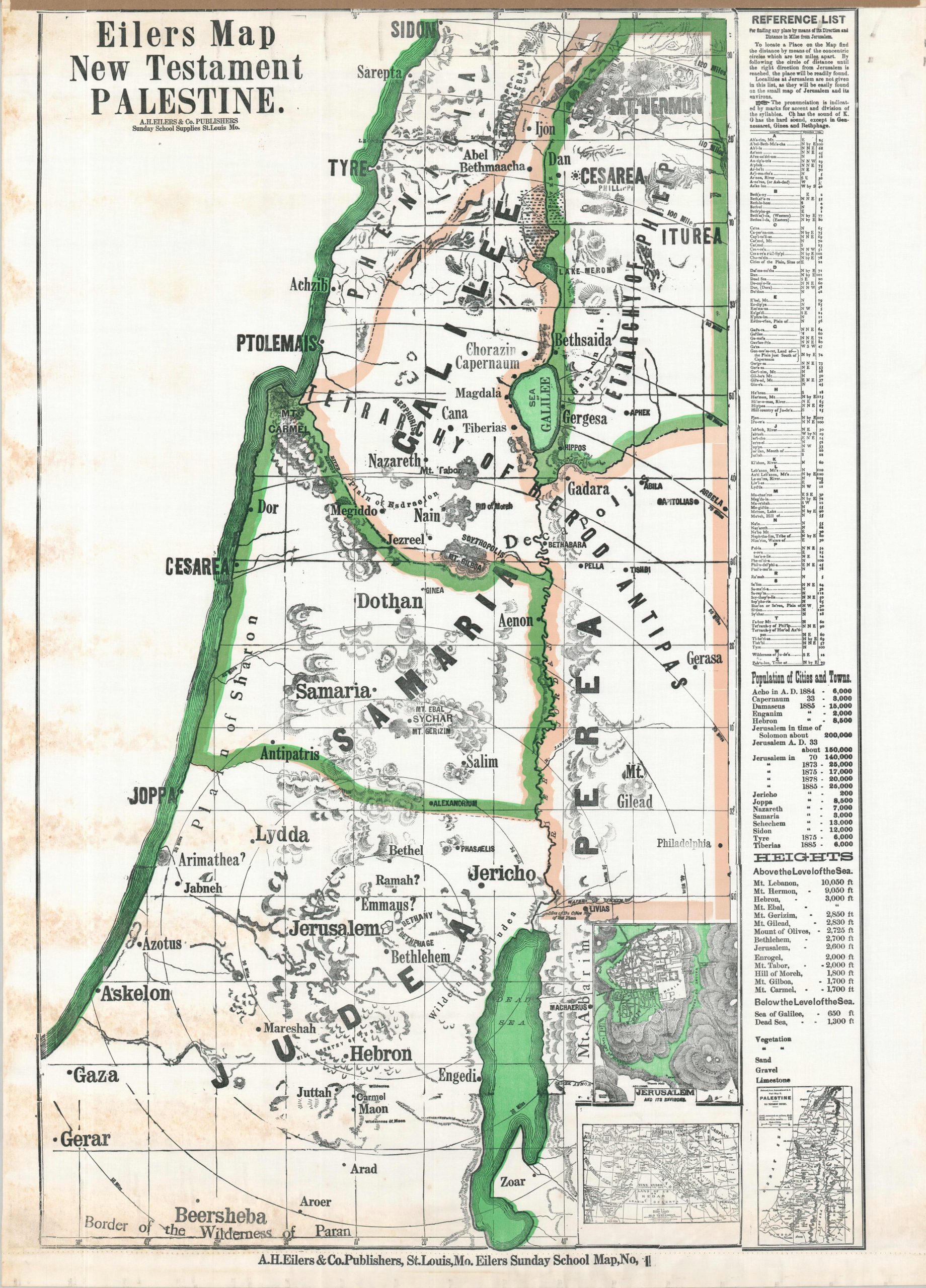
This large and easy-to-understand wall map presents the geography of the Holy Land during the first century A.D. (according to the Bible). Topography is depicted with rudimentary hachures and an interesting variety of place names are provided between the coastal city of Sidon and the Border of the Wilderness of Paran. A convenient alphabetical index is provided on the right side. At the bottom is a ‘blank’ legend, showing additional color to highlight landscape details was planned, but never added.
The undated sheet was published around 1930 by A.H. Eilers & Co as Map Number 1 in the Eilers Sunday School Wall Map Series. The company was originally established in St. Louis during the early 1870s as a bookseller and stationer, but soon transitioned to the production of material related to Sunday School education in the United States. Eilers produced a number of religiously themed materials, including collection envelopes, marriage certificates, ledgers, and wall maps in a variety of sizes and formats.
Map Details
Publication Date: c. 1930
Author: A.H. Eilers
Sheet Width (in): 36.9
Sheet Height (in): 51.5
Condition: B
Condition Description: Color printed map (probably silkscreened) on treated linen. Formerly on wooden rollers, now removed, with binding holes along the upper and lower margins as a result. Moderate toning on the left side, from where previously rolled, and moderate wrinkling and foxing visible in the margins. Good condition overall.
Out of stock