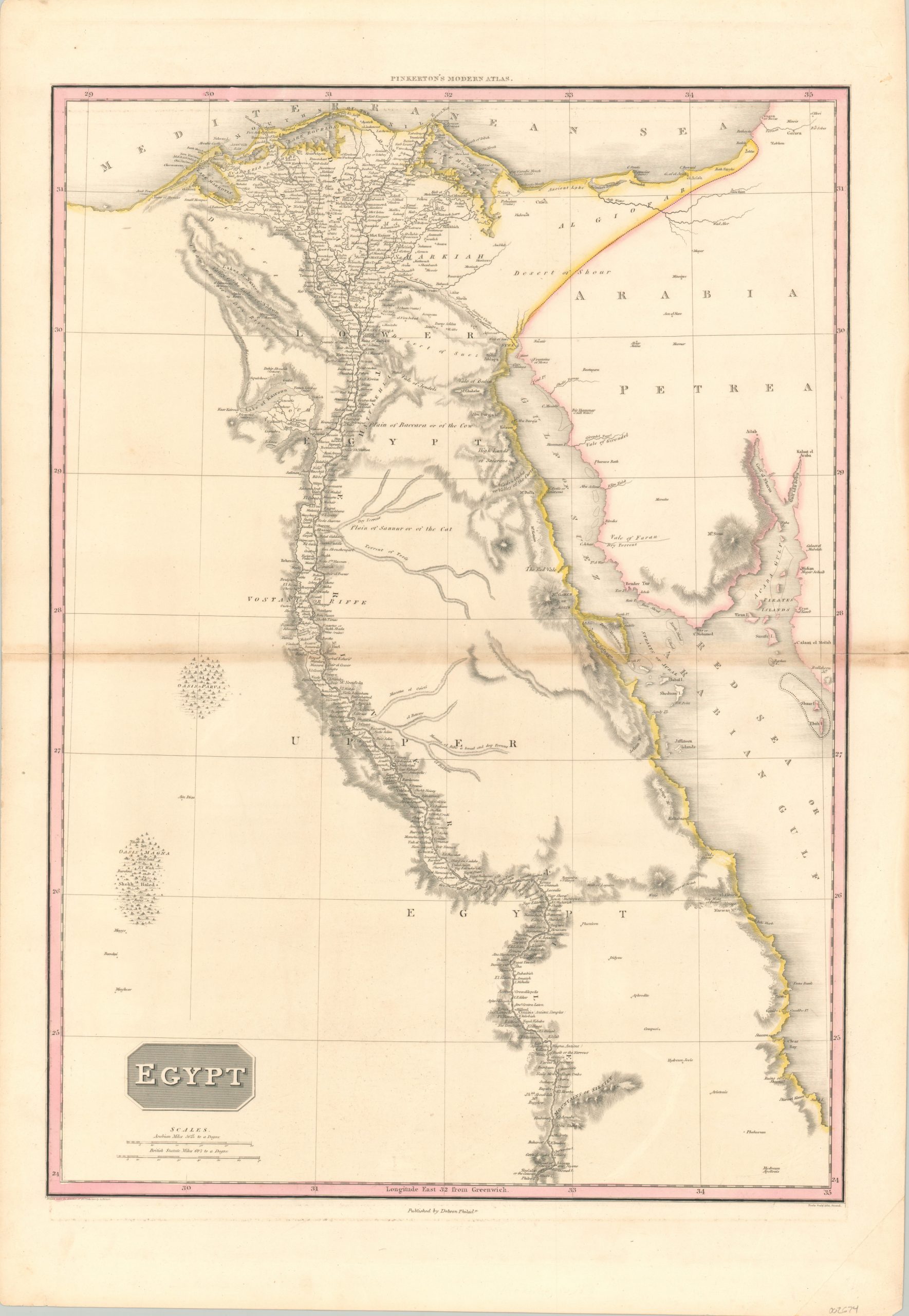
Egypt
$200.00
Fascinating map of Egypt that heavily emphasizes the Nile River.
1 in stock
Description
This detailed map of Egypt was drawn by John Pinkerton and published in his Modern Atlas by Thomas Dobson in Philadelphia around 1815. Though the nation and the Nile had been intricately linked for millennia, Pinkerton’s map gives the indication that there was no settlement whatsoever outside of the banks of the river (though this was possibly a function of his available geographic sources).
Only a handful of oases and scattered place names can be seen deviating from the mighty waterway that bisects the image from top to bottom. The ‘Pyramids of Geeza’ and other notable features, both natural and manmade, are also labeled across an image that includes the nearby Sinai Peninsula – today a part of modern Egypt, but part of Ottoman Arabia at the time of publication.
Map Details
Publication Date: c. 1815
Author: John Pinkerton
Sheet Width (in): 22.5
Sheet Height (in): 32.6
Condition: B+
Condition Description: Moderate discoloration and some wear along the horizontal fold line. About 5" of separation has been repaired on the verso with archival tape. Otherwise in very good condition, with attractive original hand color.
$200.00
1 in stock

