
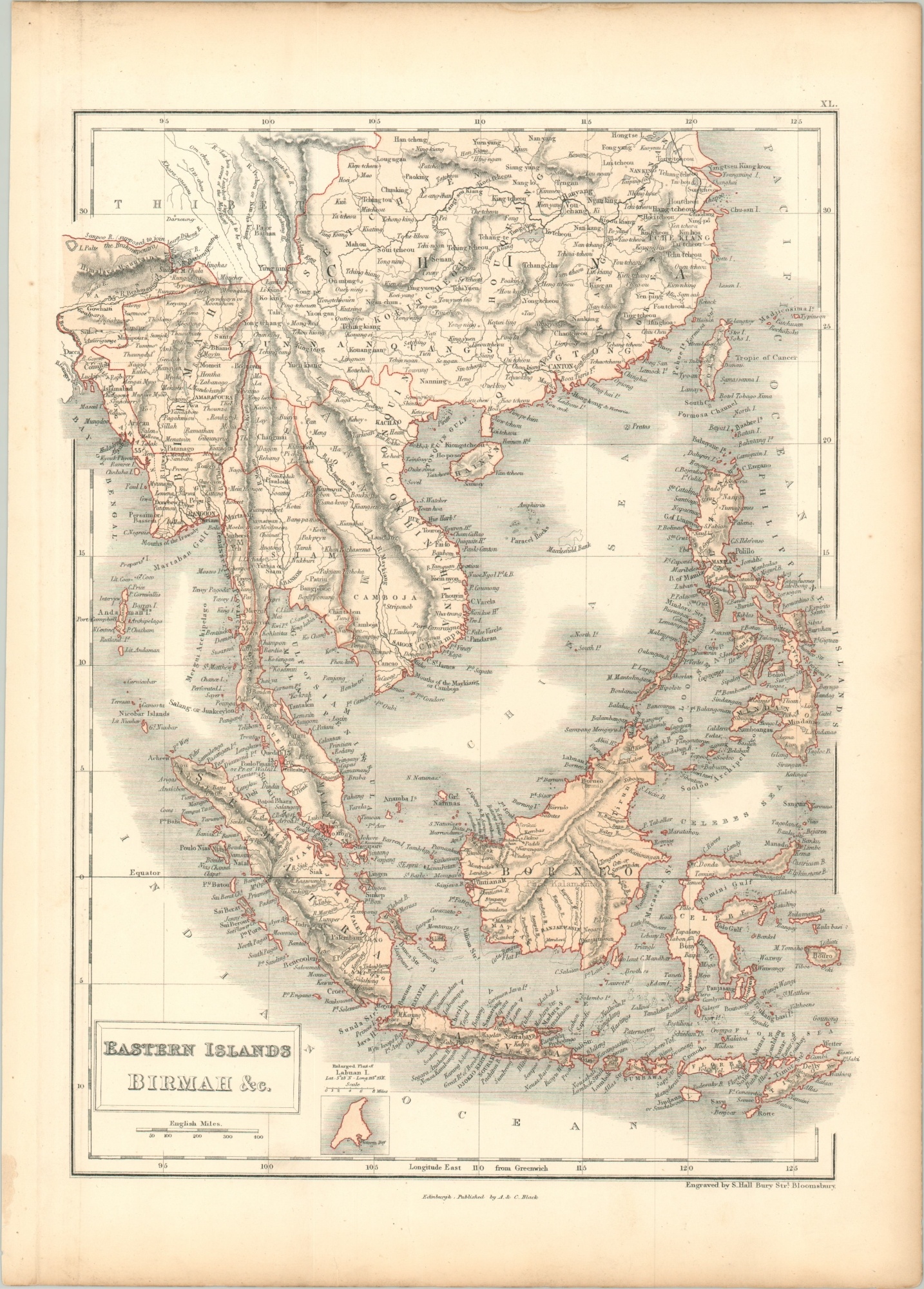
Eastern Islands Birmah &c.
$125.00
Southeast Asia during the mid-19th century.
1 in stock
Description
This detailed steel engraved map features original hand color with vibrant red outlines. It was engraved by Sydney Hall and published in Edinburg by A. & C. Black around 1860. The image includes China, French Indochina, the Dutch East Indies, and the Philippines (then under Spanish control). A variety of toponyms reflect a mix of indigenous and European place names, while topography is depicted in delicate hachure.
An inset map in the lower-left reflects a fascinating footnote of the British Empire. Labuan Island in Brunei Bay was intended to become a trading depot second only to Singapore, but its resource deposits proved disappointing and its development was a financial failure. A short-lived economic asset emphasized on only a handful of printed maps.
Map Details
Publication Date: c. 1860
Author: A & C Black
Sheet Width (in): 12.3
Sheet Height (in): 17.2
Condition: A
Condition Description: Moderately toned around the outer edges and light spotting confined to the margins. Very good overall.
$125.00
1 in stock