
Earth & Space Map Portfolio
$125.00
A geographic summary of the whole universe in four giant sheets!
1 in stock


Description
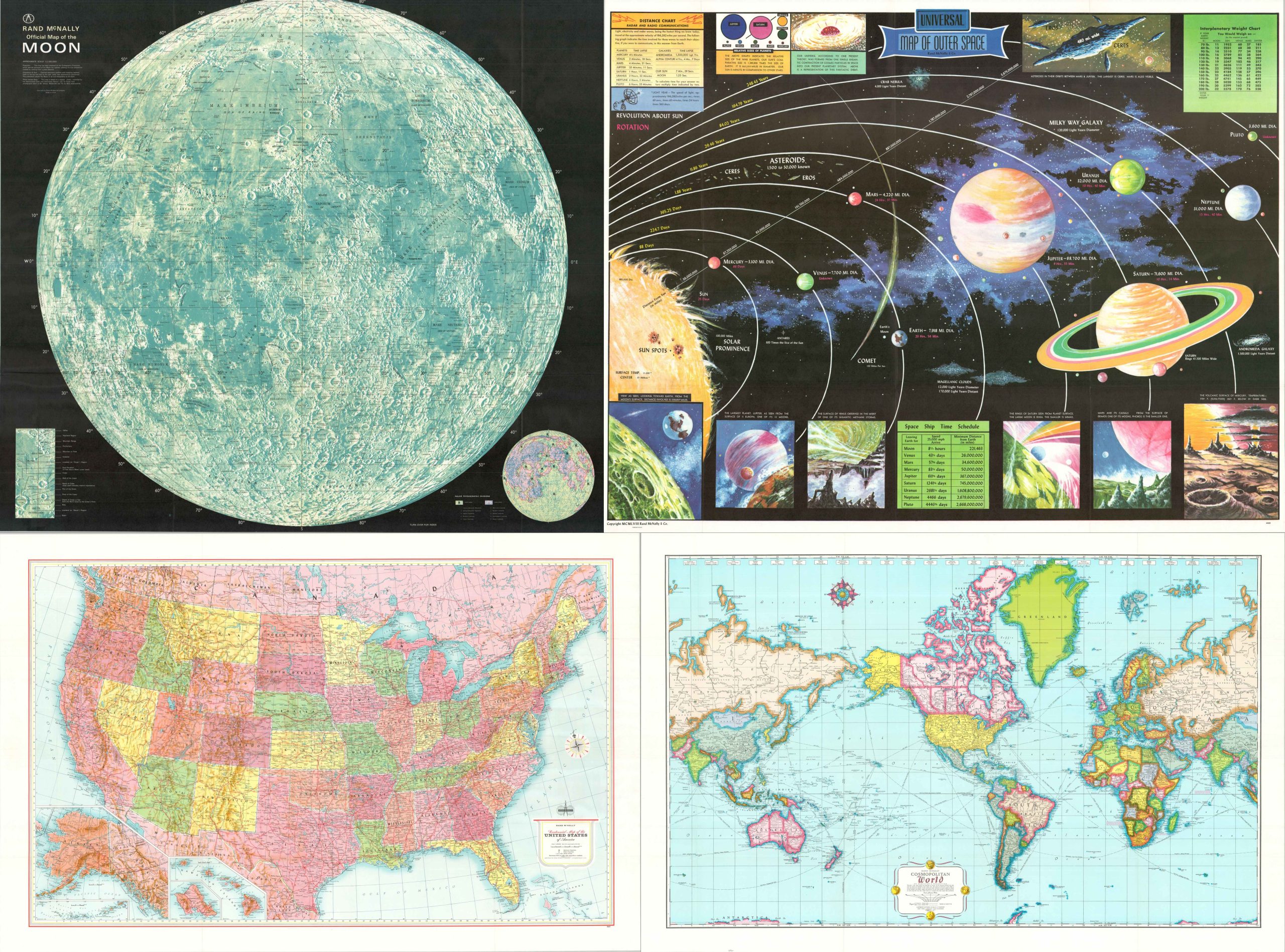
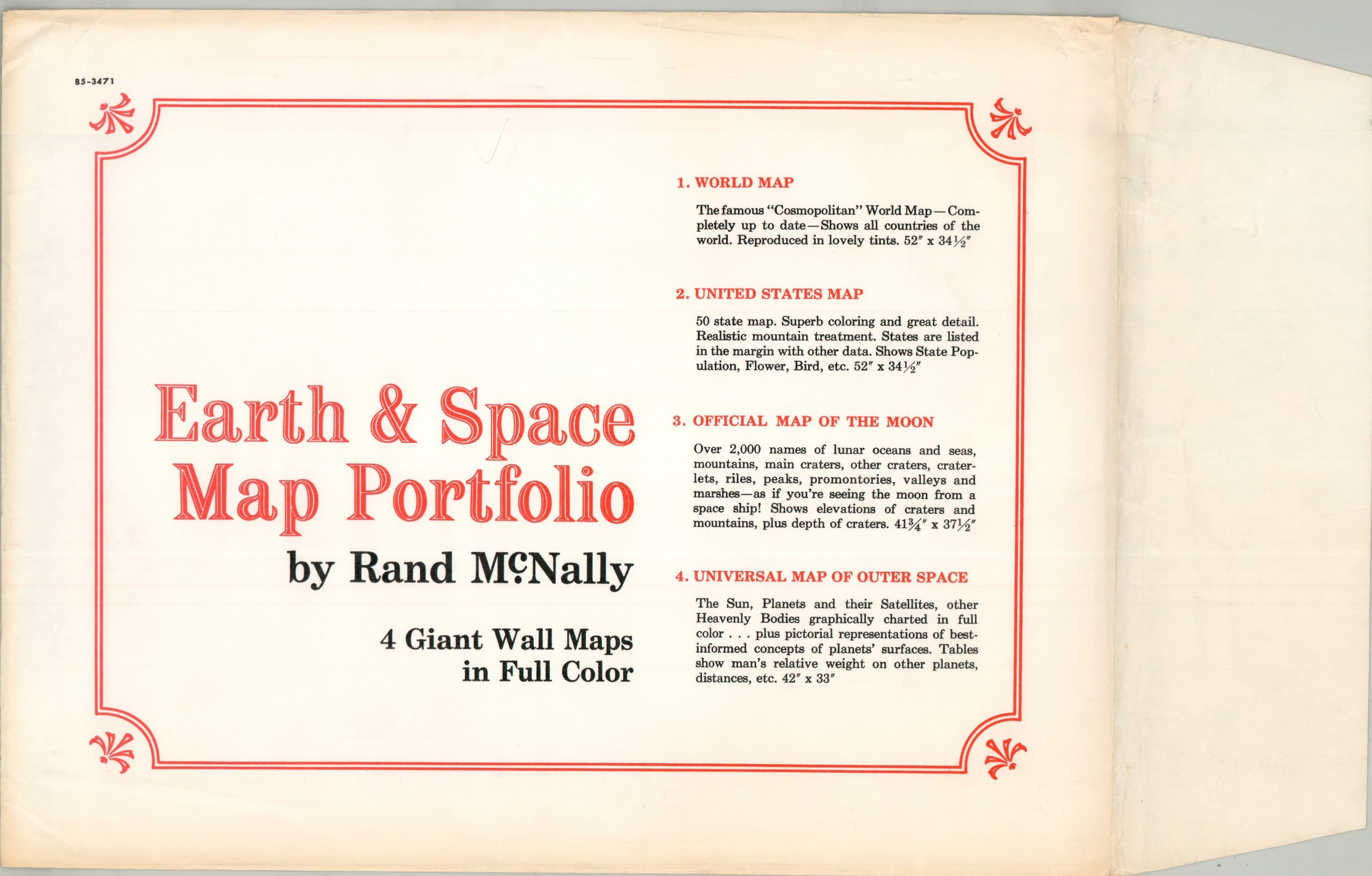
This fantastic collection of educational charts was published by Rand McNally & Company of Chicago and distributed around 1960, based on the process of decolonization in Africa. Four single-sided maps provided a detailed and informative overview of the world and beyond. Each of the sheets is summarized on the accompanying envelope.
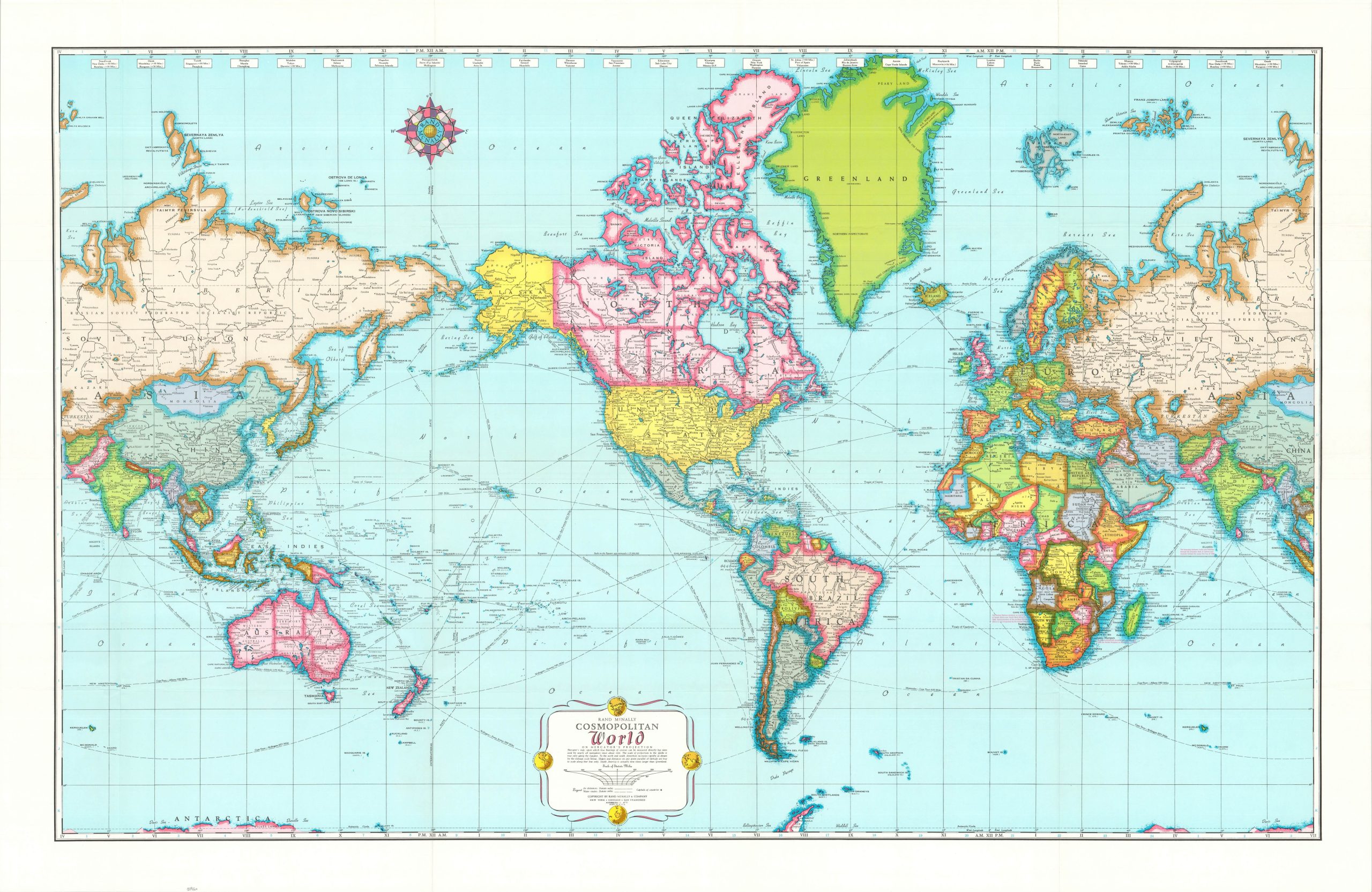
- World Map – The Famous “Cosmopolitan” World Map – Completely up to date – Shows all countries of the world. Reproduced in lovely tints. 52″ x 34 1/2″
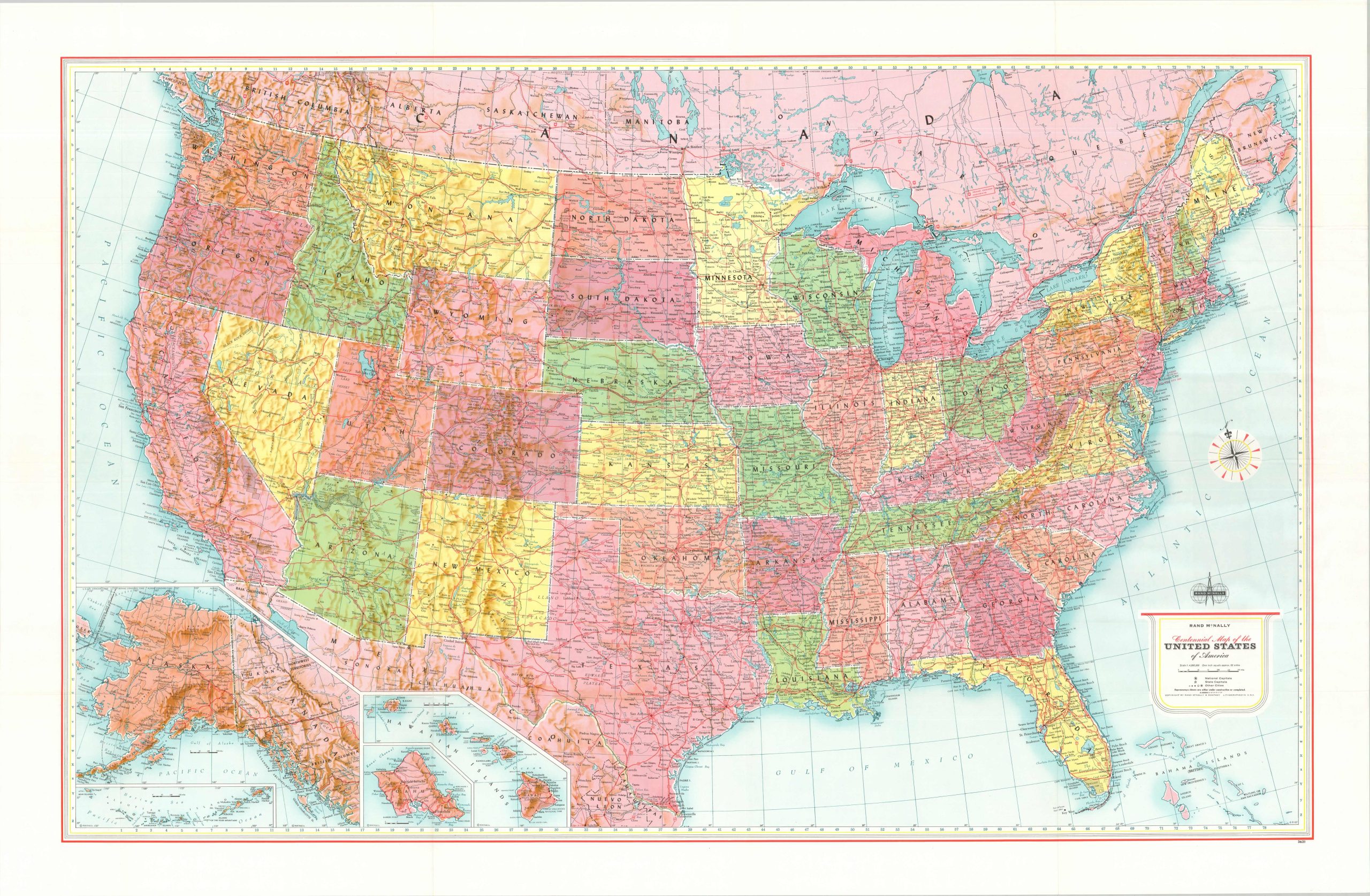
- United States Map – 50 state map. Superb coloring and great detail. Realistic mountain treatment. States are listed in the margin with other data. Shows State Populations, Flower, Bird, etc. 52″ x 34 1/2″
- Official Map of the Moon – Over 2,000 names of lunar oceans and seas, mountains, main craters, other craters, cratlets, riles, peaks, promontories, valleys and marches – as if you’re seeing the moon from a space ship! Shows elevation of craters and mountains, plus depth of craters 41 3/4″ x 37 1/2″.
- Universal Map of Outer Space – The Sun, Planets, and their Satellites, other Heavenly Bodies graphically charted in full color…plus pictorial representations of best-informed concepts of planets’ surfaces. Tables show man’s relative weight on other planets, distance, etc. 42″ x 33″
Map Details
Publication Date: 1960
Author: Rand McNally & Company
Sheet Width (in): See Description
Sheet Height (in): See Description
Condition: A
Condition Description: Set of four large color printed maps, each sharply creased along fold (two double-sided). Includes original mailing envelop, moderately toned and worn. Very good to near fine condition overall.
$125.00
1 in stock