
Dunaburg
Reporting on the Eastern Front during WWI.
Out of stock
Description
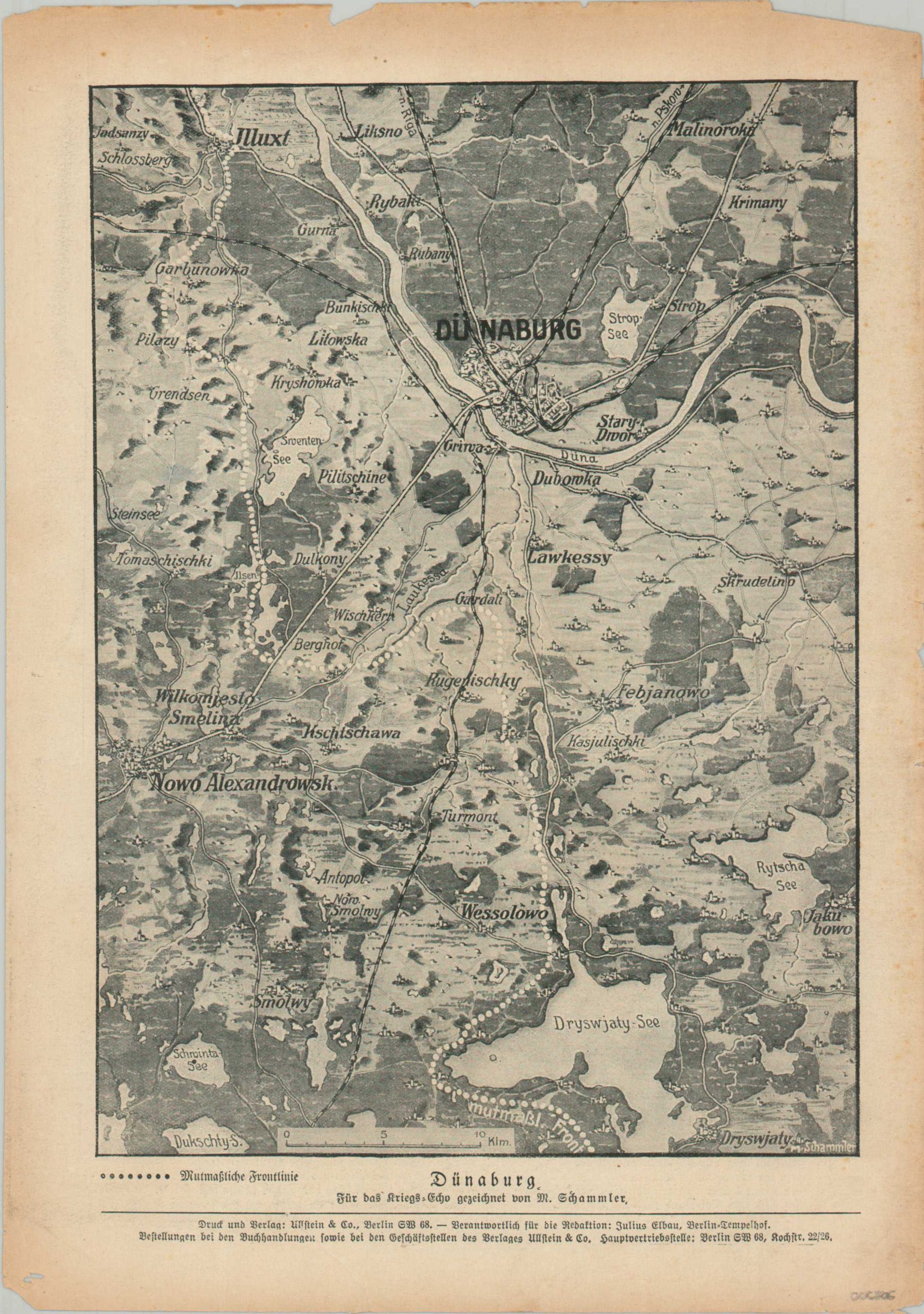
This interesting World War I map was drawn by M. Schammler and published in the May 26, 1916, edition of the Kriegs-Echo. It shows the Eastern Front around Russian Dunaburg (today, Daugavpils in Latvia). Various elements are depicted pictorially, including widespread marshes and scattered hamlets. The ‘presumed front line’ is shown with white dots, though it would undoubtedly change with the coming months as the Brusilov Offensive gained steam.
Map Details
Publication Date: 1916
Author: M. Schammler
Sheet Width (in): 8.75
Sheet Height (in): 12.25
Condition: B
Condition Description: Map printed on thin news sheet, folded in the middle. Moderate wear along the outer edges and an irregular tear, about 2", along the lower edge (repaired on verso). Printed text on verso.
Out of stock