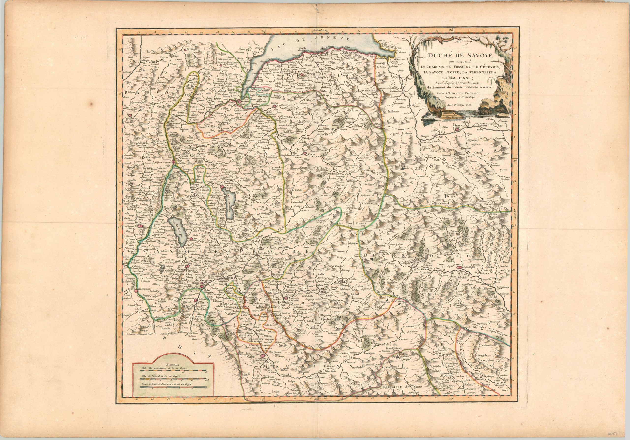
Duche de Savoye
$150.00
Beautiful mid-18th century copperplate map of the Duchy of Savoy.
1 in stock
Description
Though it can’t be found on modern maps, the Duchy of Savoy played an important role in European politics starting with its creation in 1416 by the Holy Roman Emperor Sigismund. Situated on the southern shore of Lake Geneva and straddling portions of Italy and France, the territory was ruled by the House of Savoy and, in 1720, it became part of the larger Kingdom of Piedmont-Sardinia.
This map of the duchy was published in Paris by Robert de Vaugondy, Royal Geographer to the French King, in 1751. It’s based on a larger map of Piedmont published by Tomas Borgomo, according to text in the title cartouche (upper right).
Various provinces are outlined with original hand color and numerous fortified cities are highlighted in red. Topography is depicted pictorially, emphasizing the region’s mountainous terrain. An interesting mix of cities, towns, monasteries, chateaus, and geographic features are labeled throughout.
Map Details
Publication Date: 1751
Author: Robert de Vaugondy
Sheet Width (in): 31.1
Sheet Height (in): 21.5
Condition: A-
Condition Description: Moderate toning and some light soiling and spotting visible around the outer edges of the sheet, confined to the margins. A chip along the edge in the upper center. The image shows a few light spots, but overall is clean and in very good condition. Issued on thick, watermarked paper with original outline color.
$150.00
1 in stock

