
Ducatus Turonensis
$95.00
Gorgeous 17th century map of the traditional French province of Touraine.
1 in stock
Description
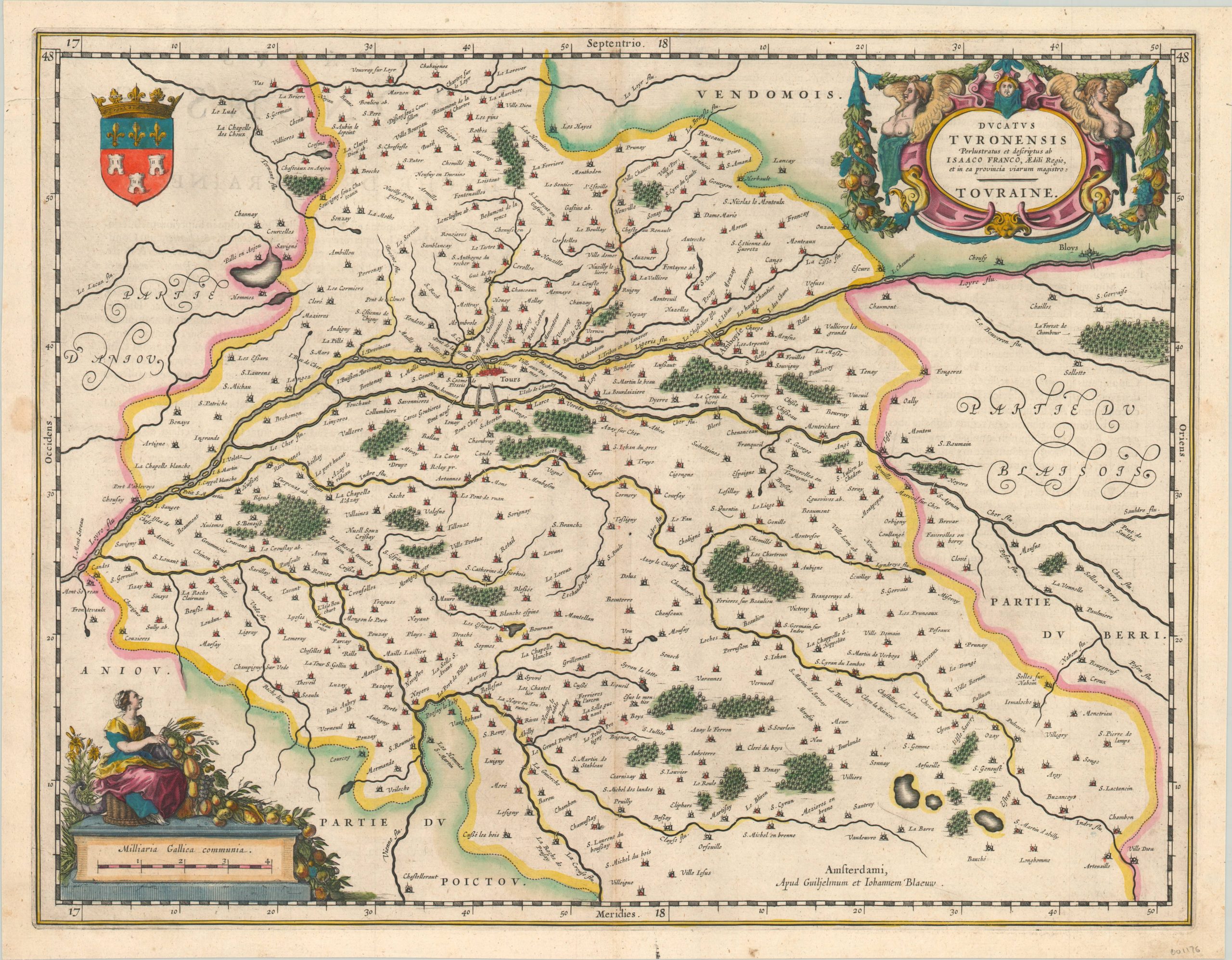
This attractive hand colored map shows the traditional French province of Touraine, in the center of the country. The Loire River can be seen horizontally bisecting the image, with the provincial capital of Tours found on its bank. The coat of arms of the city is shown in the upper left.
The region’s abundant agriculture and viticulture is referenced in the decorative cartouches found in the upper right and lower left corners. It’s likely that several of the abbeys and wineries shown on the map are still producing today. Published in 1635 by Willem and Johannes Blaeu.
Map Details
Publication Date: 1635
Author: Willem and Johannes Blaeu
Sheet Width (in): 20.5
Sheet Height (in): 16
Condition: A-
Condition Description: One small damp stain in the left margin that just touches the neatline and faint wear along the centerfold. Features lovely hand color.
$95.00
1 in stock