
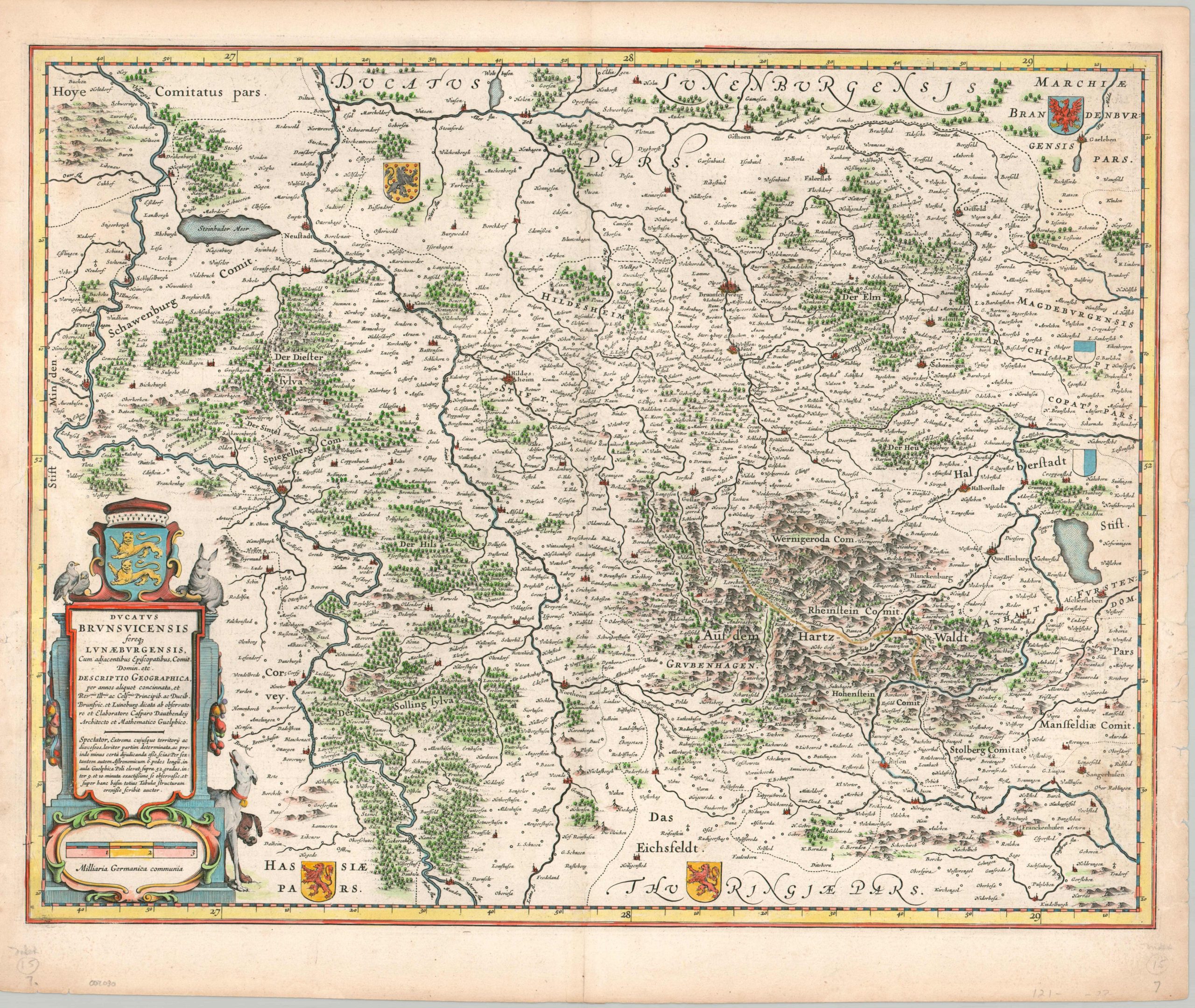
Ducatus Brunsvicensis fereq Lunaeburgensis…
$75.00
The Duchy of Brunswick-Luneburg during the Early Modern Era.
1 in stock
Description
This attractive antique map presents the historic German state of the Duchy of Brunswick-Luneburg, located in present-day Lower Saxony. Scattered toponyms identify a fascinating variety of fortified cities, rural villages, aristocratic estates, religious institutions, and more. The Harz mountain range is vividly depicted in the lower right, while thick forests and other hilly regions are shown pictorially throughout the image.
Several coats of arms are present, reflecting the constituent elements of the duchy, as well as the complex political system of the Holy Roman Empire. The dedicatory text in the title cartouche, lower left, indicates the original cartographer was Caspar Dauthendey of Guelph. This example was published in Amsterdam by the Blaeu family around 1645.
Map Details
Publication Date: c. 1645
Author: Johannes Blaeu
Sheet Width (in): 22
Sheet Height (in): 18.5
Condition: B
Condition Description: Copperplate engraved map with attractive modern hand color on a strong sheet of laid paper. French text on verso. Moderate to heavy wear visible in the trimmed margins, including several closed tears (most repaired on verso), some of which just enter the neatline in the lower left. Faint discoloration along the vertical centerfold and some darkening from the original plate strike in the upper right corner. About good condition overall.
$75.00
1 in stock