
Dolph’s Indexed Street Map of Orland Winter Park Florida and Vicinity
Mid-century street plan of Orlando, Florida.
Out of stock


Description
This attractive postwar map of Orlando and the surrounding area was copywritten and published around 1955 by Frank B. Dolph. Artistic flourishes reflect a dedication to the cartographic craft. A mix of toponyms, pictorial elements (trees, crosses, flags, etc.), hotel banners, and a decorative compass rose add attractive elements to an otherwise standard street plan. Numerous lakes and the primary roads are highlighted in striking printed blue color, the latter predating the drastic changes from the construction of Interstate 4. Expanding suburbs well beyond the city limits reflects rapid growth in the years following World War II.
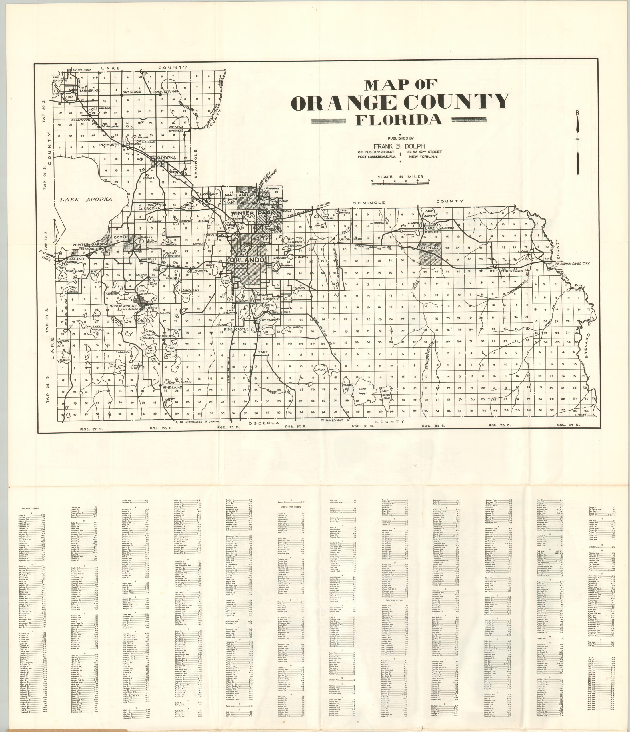
The legend in the lower left notes the symbols used to identify schools, parks, utility plants, cemeteries, hospitals, and golf courses – an interesting cross-section of contemporary priorities for tourists and residents alike. The Orland Commercial Airport (today’s Executive Airport) and the ‘New Airport’ (Orlando International) are also named, but the map appears to predate the Winter Park Mall (1957). The verso presents a road map of Orange County, an alphabetical street index, and several advertisements for local real estate firms (another indicator of the urban growth of the era).
Map Details
Publication Date: c. 1955
Author: Frank B. Dolph
Sheet Width (in): 21.5
Sheet Height (in): 34
Condition: A
Condition Description: Large pocket map folded into 24 segments and affixed to original brown paper wraps, as issued. Moderate wear along folds, including some creasing and small spots of separation at fold intersections. Very good condition overall.
Out of stock