
Ditney Folio Indiana
$150.00
U.S.G.S. atlas of coal fields in southern Indiana.

Description
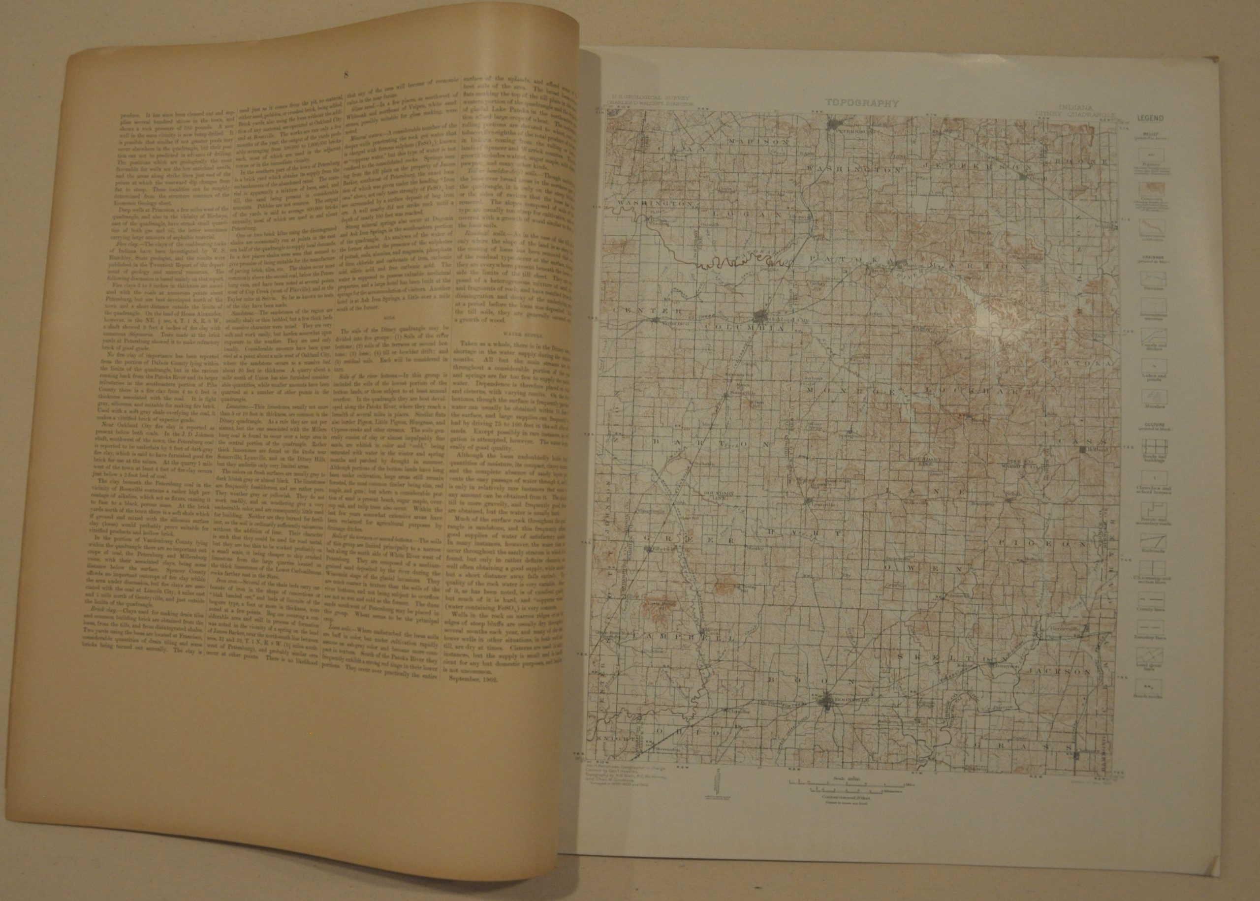
Named for a number of small hills in Warrick County, the Ditney Formation was a short-lived geologic term used for an extensive coal field in southern Indiana. Though eventually the Ditney coal would be added to the more prominent nearby Patoka formation, the field is forever memorialized in this U.S.G.S. folio atlas, published in 1902.
The volume contains 9 pages of descriptive text outlining the geologic history of the region, as well as the organization of the monumental series of U.S.G.S. atlases published in the late 19th and early 20th centuries. Also included are maps of the topography, areal geology, economic geology, structure sections, columnar sections and coal sections.
Map Details
Publication Date: 1902
Author: Charles D. Walcott
Sheet Width (in): 18.50
Sheet Height (in): 21.70
Condition: A-
Condition Description: Very good condition overall. Original paper covers are present and attached to a strong binding, but both are chipped in the upper right corner. Includes 9 pages of descriptive text on pages that are slightly toned from age, and 8 color lithograph folio maps. Maps are in near fine condition, with only faint discoloration around the outer edges.
$150.00