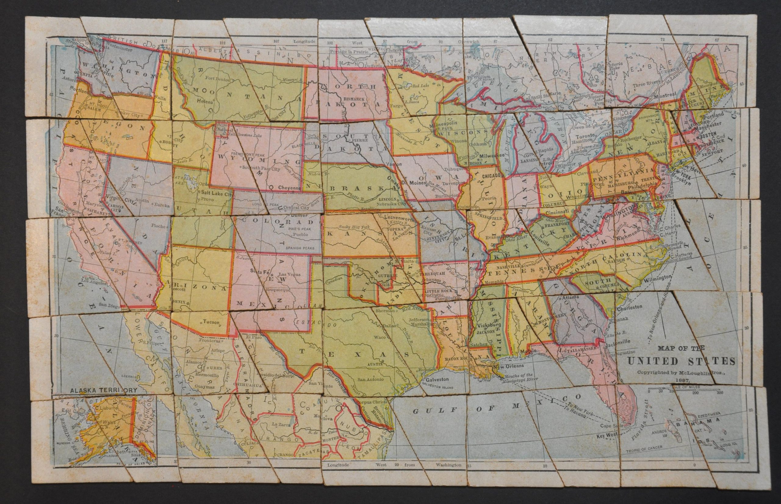
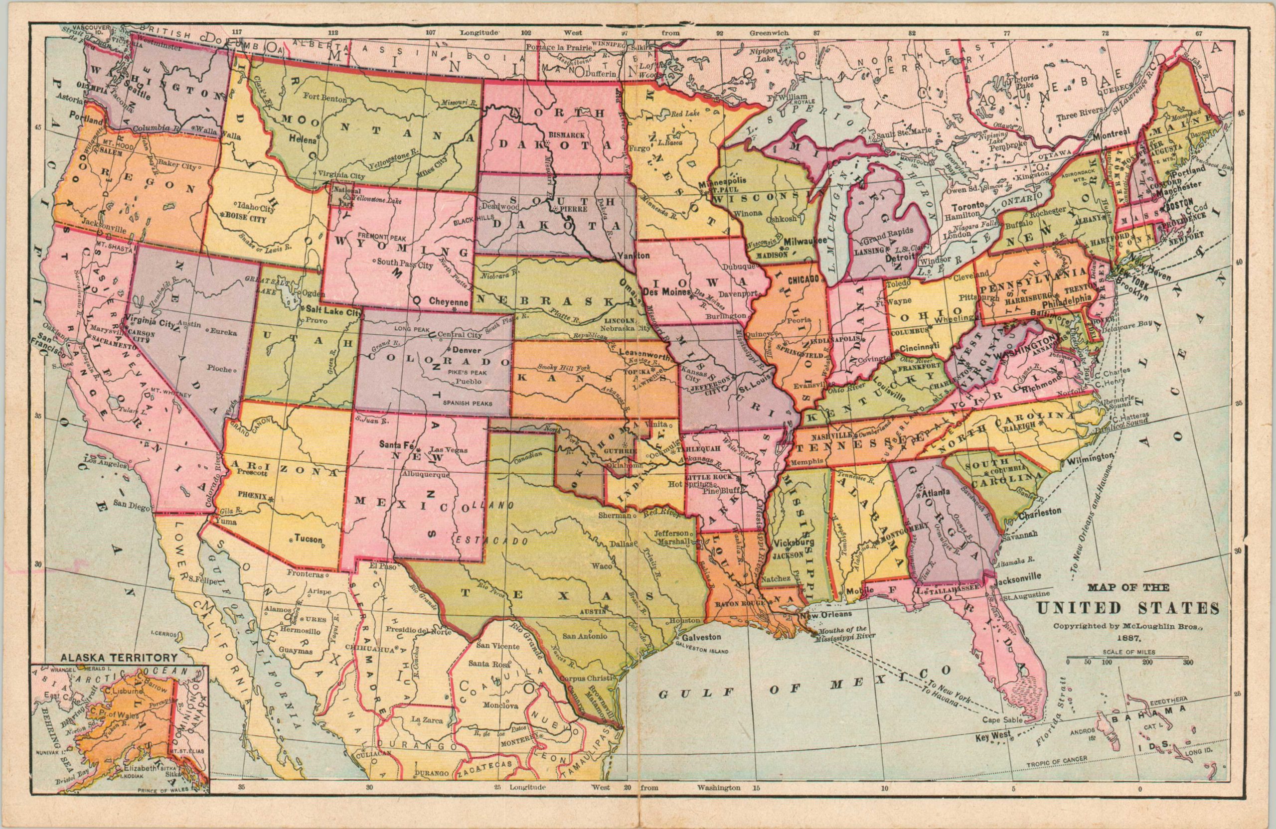
Dissected Map of the United States
$250.00
Uncommon educational tool from late 19th century America.
1 in stock
Description
This wonderful puzzle map of the United States was created and distributed by the McLoughlin Brothers of New York in 1887. A colorful political outline of America shows the 38 states and 11 territories (Hawaii had not yet been acquired); noting major cities, capitols, and geographic features. Steamship routes can be seen along the Atlantic and Gulf Coasts.
The front cover of the box depicts a mother and child assembling the pieces, reflecting the puzzle’s original intentions. According to the New York Historical Society;
“Invented in England in the 1760s, jigsaw puzzles, originally created to teach geography, were known as “dissected maps.” Before long, maps were followed by dissected pictures of alphabets, historical events, botany, and zoology. The introduction of the treadle saw in 1880 made the cutting of jigsaw puzzles faster and easier, leading to an explosion of American puzzle production. School children were the primary audience for puzzles until manufacturers moved into the adult market around 1907.”
Source: New York Historical Society
Map Details
Publication Date: 1887
Author: McLoughlin Brothers
Sheet Width (in): See Description
Sheet Height (in): See Description
Condition: B+
Condition Description: Complete puzzle with original box - approximately 50 cardboard pieces. When complete, the image measures approximately 13.25" x 8.5". Light wear and some scattered soiling on the image. The box, about 9.5" x 7", is in rough shape and shows numerous old tape repairs. Included two printed paper reference maps as well. Good to very good condition overall.
$250.00
1 in stock


