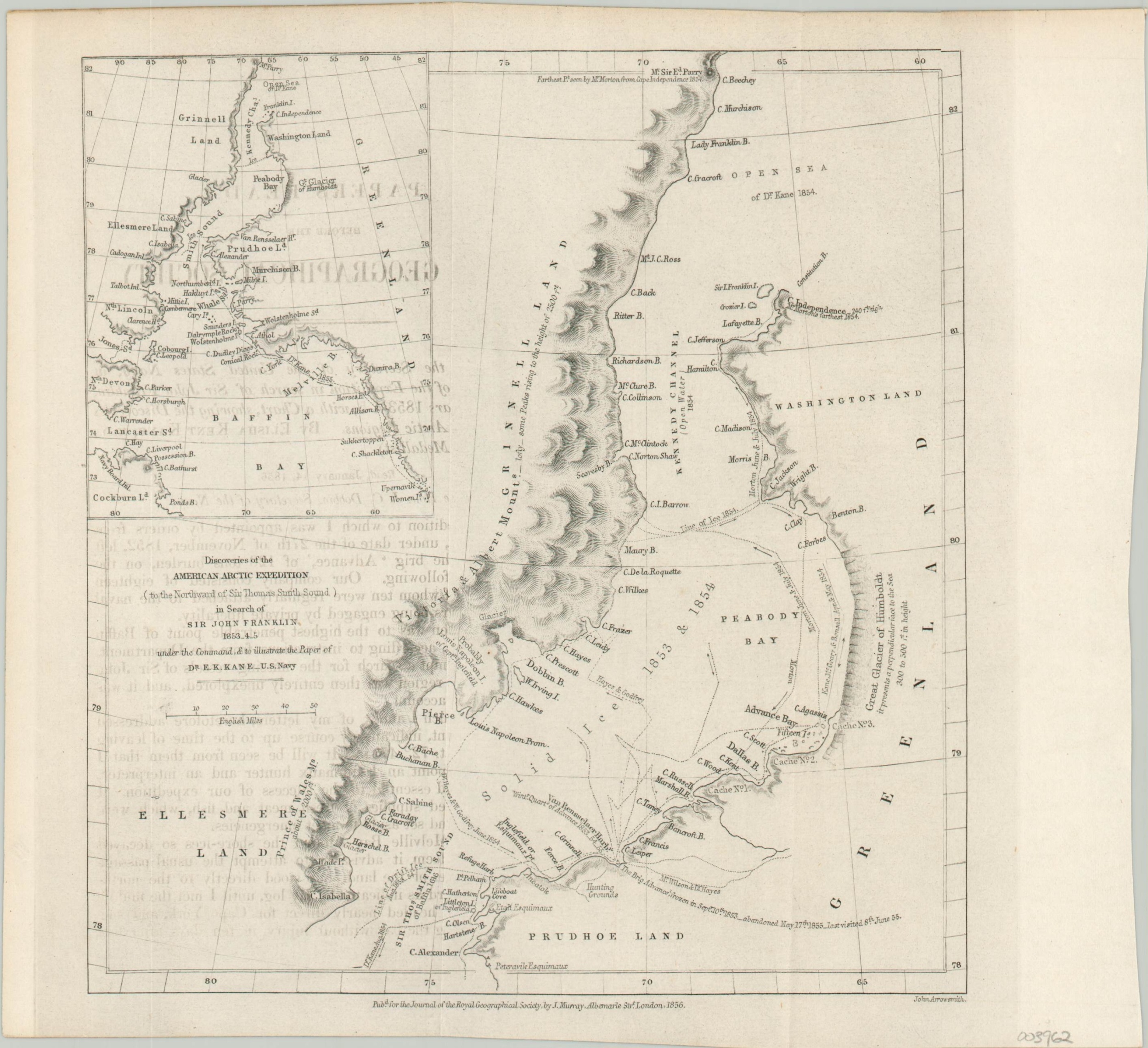
Discoveries of the American Arctic Expedition
$45.00
Mapping the efforts to find Sir John Franklin.
1 in stock
Description
This small map shows the track of the U.S.S. Advance as it searched the Arctic seas for Sir John Franklin’s lost expedition of 1847. The voyage to uncover the whereabouts of Franklin and his crew was the second to be financed by retired merchant Henry Grinnell and was led by Elisha Kent Kane.
Though they were unsuccessful in determining Franklin’s fate (his ships wouldn’t be discovered until 2014 and 2016), Kane and his crew made valuable geographical calculations and were the first Europeans to return with knowledge of the open Polar Sea. Their ordeal was harrowing. After the Advance was caught in the ice, an epic 84-day overland journey was required to find English-speaking sailors who would return them home.
The map was engraved by John Arrowsmith and published in London by John Murray in 1856 as part of the Journal of the Royal Geographical Society.
Map Details
Publication Date: 1856
Author: John Arrowsmith
Sheet Width (in): 9.1
Sheet Height (in): 8.4
Condition: A-
Condition Description: Slightly uneven outer edges that show light discoloration. Faint creasing along originally issued fold lines.
$45.00
1 in stock

