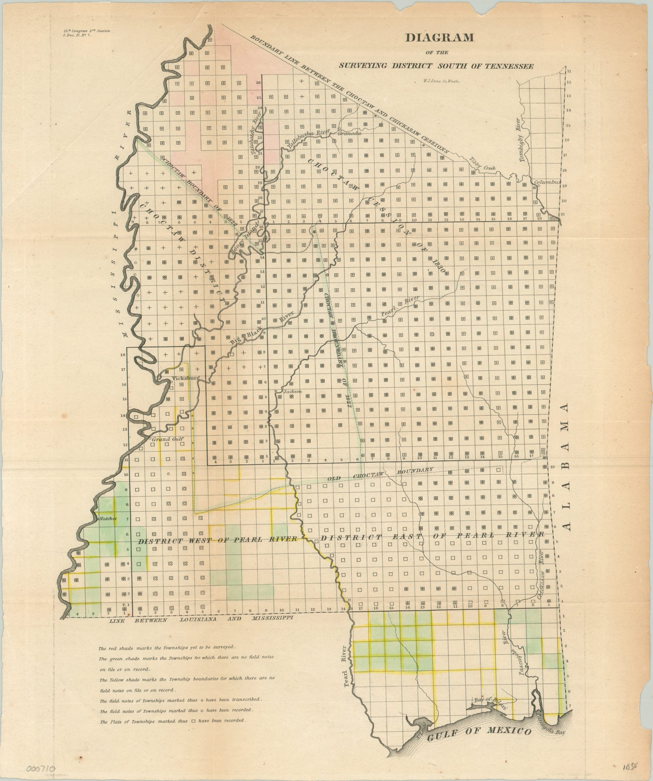
Diagram of the Surveying District South of Tennessee
$150.00
One of the earliest available survey maps of the state of Mississippi.
Description
The Indian Removal Act of 1830 authorized the United States government to “negotiate” with Native American tribes for their removal to reservations west, in exchange for the white settlement of their ancestral homeland. It was hastily enforced, and the Choctaws of Mississippi ceded 11 million acres of their territory under the Treaty of Dancing Rabbit Creek.
This map, issued in a report to Congress by the General Land Office, shows the lines of that treaty and others, which add to the geographic authority the image conveys. Elsewhere on the image, symbols and colors reflect the status of the neatly ordered townships within the borders of the state. Note: Those Choctaws that remained in Mississippi after the Treaty of Dancing Rabbit Creek were among the first non-Europeans to be granted citizenship, under the terms of the agreement. However, they were treated similarly to the African American population after the Civil War, and endured severe discrimination from their fellow Americans.
Map Details
Publication Date: 1838
Author: General Land Office
Sheet Width (in): 13.50
Sheet Height (in): 16.20
Condition: B+
Condition Description: Two chips in the page along the top edge of the sheet, and minor discoloration from age. Fold lines as issued, with original hand color.
$150.00

