
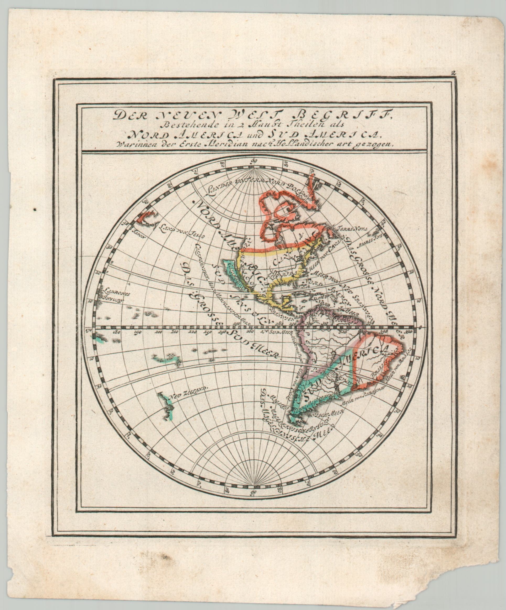
Der Neuen Welt Begriff Bestehende in 2 Haupt Theilen als Nord America und Sud America
$80.00
A small, but punchy, map that shows California as an island.
1 in stock
Description
This lovely (albeit outdated) 18th-century map of the Western Hemisphere shows many cartographic conventions from the prior century. California as an island is the most prominent mistake, though the Land of Jesso, South American ‘bulge’, and odd island in Hudson’s Bay were all also mostly obsolete by the time of publication.
Issued as part of Gabriel Bodenehr’s Atlas Curieux oder Neuer und Compendieuser Atlas in 1720.
Map Details
Publication Date: 1720
Author: Gabriel Bodenehr
Sheet Width (in): 6
Sheet Height (in): 7.75
Condition: B
Condition Description: Copperplate engraved map with outline color applied by hand. Moderately soiled margins and chipped corner (see scan). About good condition overall.
$80.00
1 in stock