Delaware
$150.00
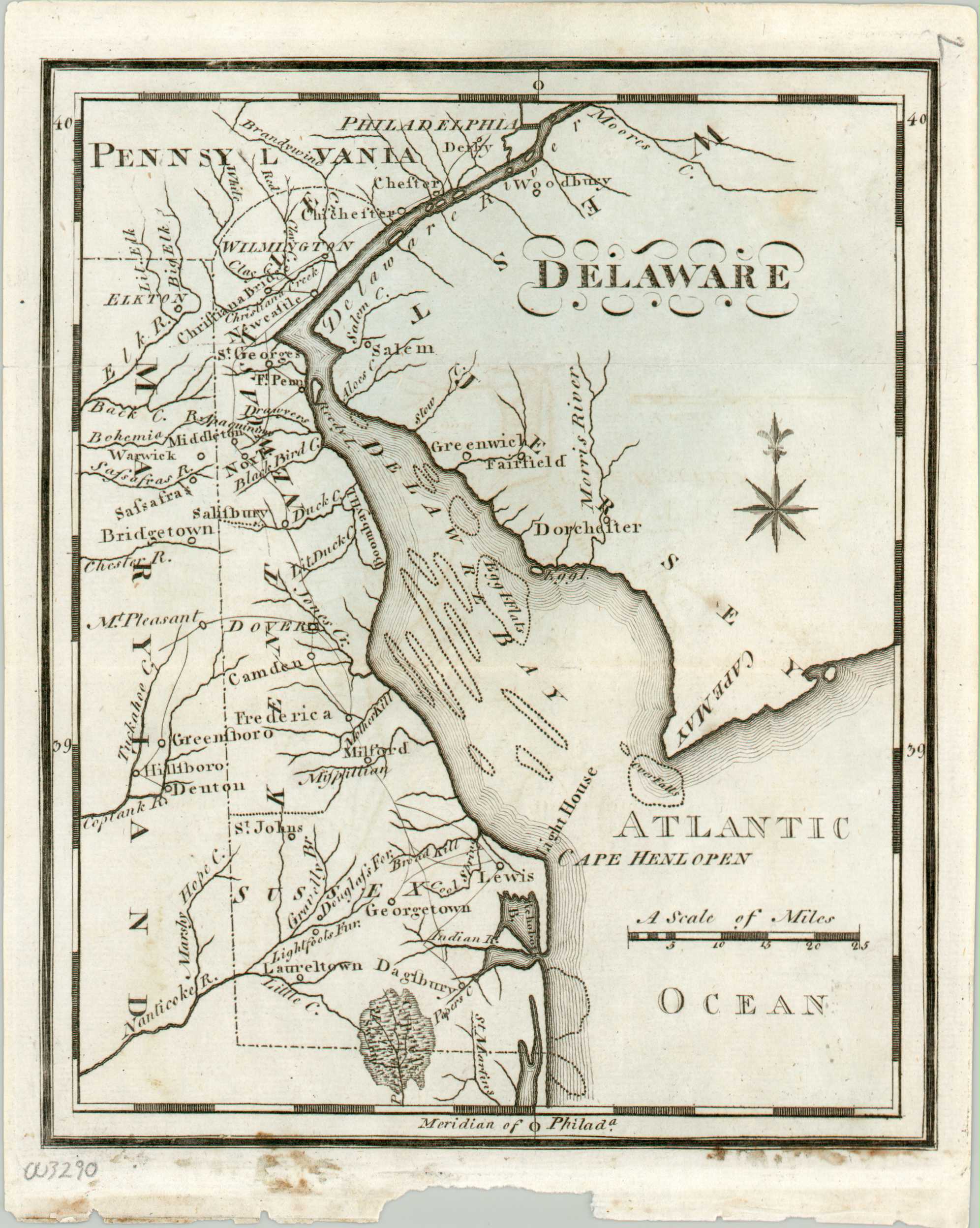
An early map of the state of Delaware.
1 in stock
Description
This simple, yet detailed, map of Delaware shows an interesting overview of ‘The First State’ just over a decade after the Treaty of Paris was signed (1783), officially ending the American Revolutionary War. Place names, the road network, and geographic features are individually identified on the copperplate engraved sheet, along with a distance scale, compass rose, and lines of latitude and longitude in the border. The latter is shown with Philadelphia as the meridian point, as it remained the hub for American cartography despite the capital being moved to Washington, D.C. five years prior.
The map was created by Joseph Scott and originally included in his United States Gazetteer: Containing an Authentic Description of the Several States… This early American atlas and geographic text was published in Philadelphia by F. and R. Bailey in 1795.
Map Details
Publication Date: 1795
Author: Joseph Scott
Sheet Width (in): 6.50
Sheet Height (in): 8
Condition: A-
Condition Description: Light residue and wear along the bottom margin, where previously bound. A bit of faint offsetting and light spotting within the image, but overall in very good condition.
$150.00
1 in stock

