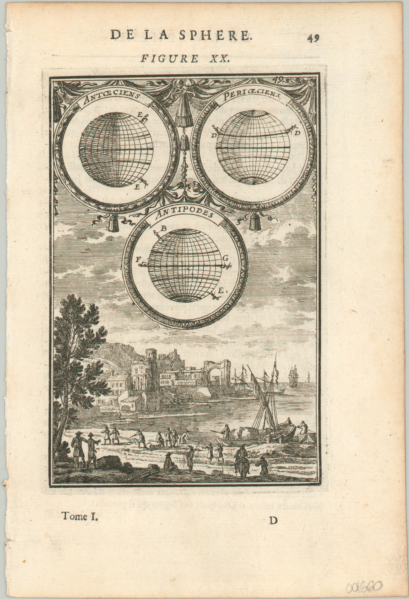
De La Sphere Figure XX
Finely engraved copperplate print highlighting three geographic principles.
Out of stock
Description
Though highly decorative, this lovely print offers an educational view into three geographic concepts; antoeciens, perioeciens, and antipodes. Three small illustrations using two labeled figures define each as two points that share the same longitude, latitude, and diametric opposites, respectively. The foreground features an interesting scene of sailing ships along the coastline of a nearby city.
Even though it was created in the late 17th century, the diagram is still relatable and informative today. Published in Paris by Alain Manesson Mallet for the 1683 (first) edition of his Description de L’Univers.
Map Details
Publication Date: 1683
Author: Alain Manesson Mallet
Sheet Width (in): 5.50
Sheet Height (in): 8.20
Condition: A
Condition Description: Near fine condition. Outer edges a bit toned and the binding edge is faintly ragged. Dark, crisp impression on a clean sheet.
Out of stock

