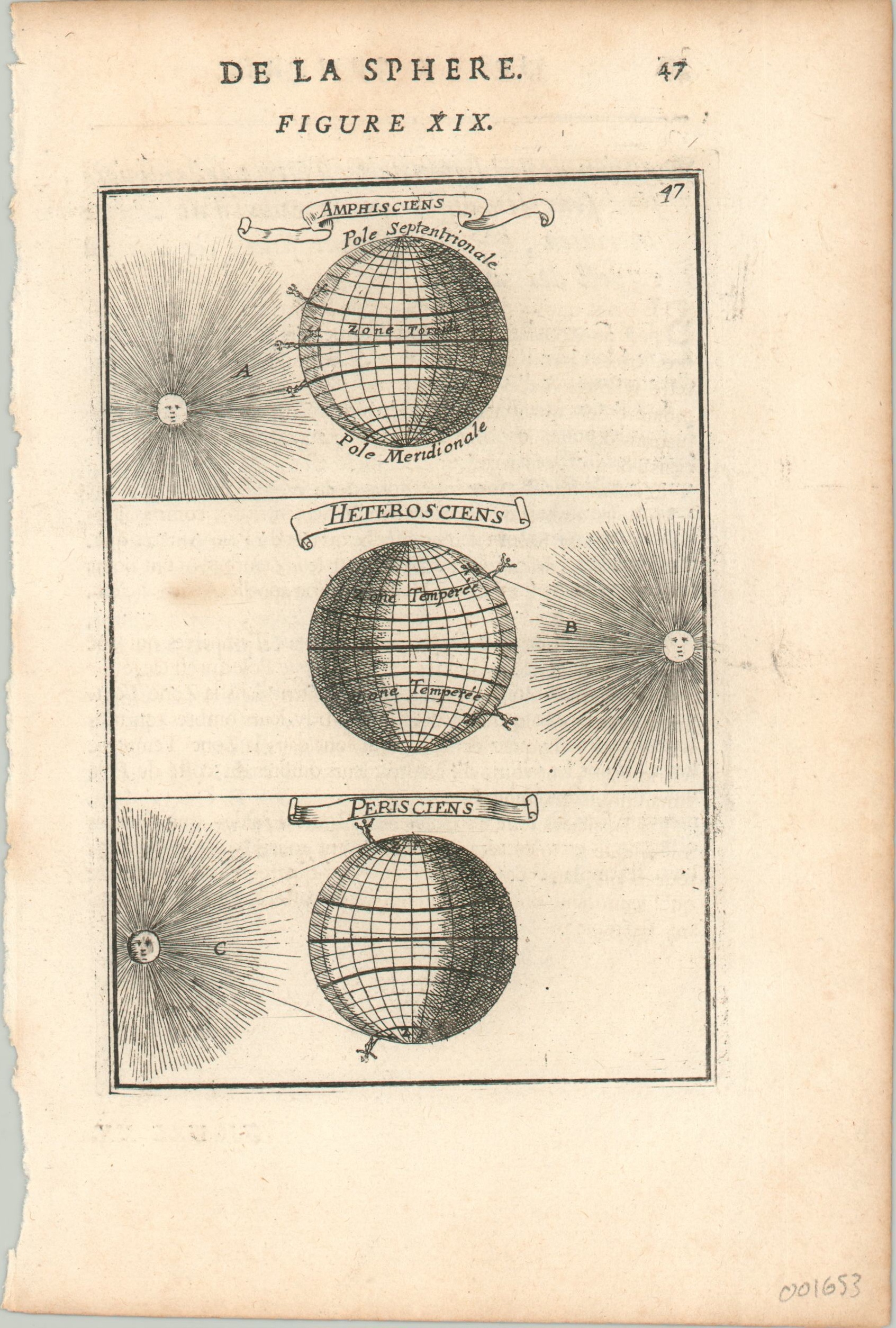
De La Sphere Figure XIX
$75.00
Three part diagram of regional variations in sunlight, published in the 17th century.
1 in stock
Description
This interesting celestial print shows the globe divided into polar, tropic, and temperate zones. In each panel, the position of the sun’s rays and small figures on the Earth’s surface highlight how shadows change according to location. Thus those residing in extreme upper/lower latitudes (Periscii) will have different seasonal experiences than those in tropical regions (Amphiscii).
Even though it was created in the late 17th century, the diagram is still relatable and informative today. Published in Paris by Alain Manesson Mallet for the 1683 (first) edition of his Description de L’Univers.
Map Details
Publication Date: 1683
Author: Alain Manesson Mallet
Sheet Width (in): 5.50
Sheet Height (in): 8.25
Condition: B+
Condition Description: The left edge of the sheet is a bit ragged and there is one small spot visible on the left side of the middle panel. A bit of marking from the impression of the plate, but remains in very good condition overall.
$75.00
1 in stock

