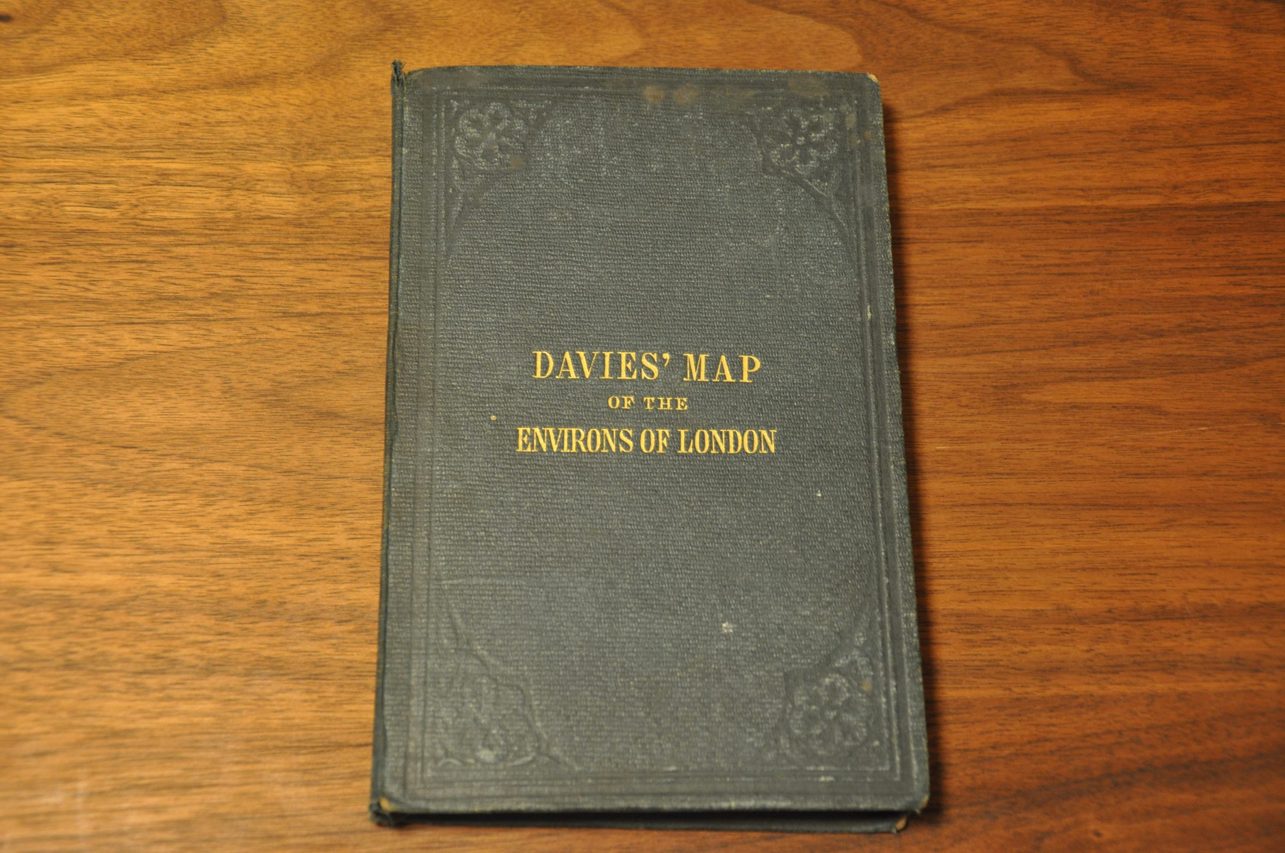
Davies’s Map of the Environs of London
$900.00
Large Victorian-era case map of London and the surrounding suburbs.
1 in stock
Description
This tremendous folding map of the environs of London was drawn and engraved by Benjamin Rees Davies and published by Edwin Stanford in London in 1860. The city center is depicted in some detail, with major streets labeled and depicted punctuating the urban congestion of the largest city in the world (at the time of publication). Individual buildings are outlined in the outskirts, and a handful of prominent locations and landmarks named.
As one travels towards the outskirts the place names reflect prominent estates, small villages, castles, and local industries. Several circles radiate from the center of the image indicating 4 miles from Charing Cross, plus 3 and 12 miles from the Post Office. Lines explaining each are outlined in the key along the bottom of the page.
This legend also explains the original hand color, which highlights parks (green) and cemeteries (yellow) – both popular public areas for outdoor recreation. Railways, both in operation and under construction, are also shown. Topography is depicted in hachure, while other features like forests and commons are depicted pictorially.
Map Details
Publication Date: 1860
Author: B.R. Davies
Sheet Width (in): 43.60
Sheet Height (in): 30.60
Condition: A-
Condition Description: Dissected into 32 panels and mounted on linen, affixed to original gilt blue cloth covers. A bit of light wear and faint discoloration along the center horizontal seam, but in very good condition overall. Features original hand color.
$900.00
1 in stock


