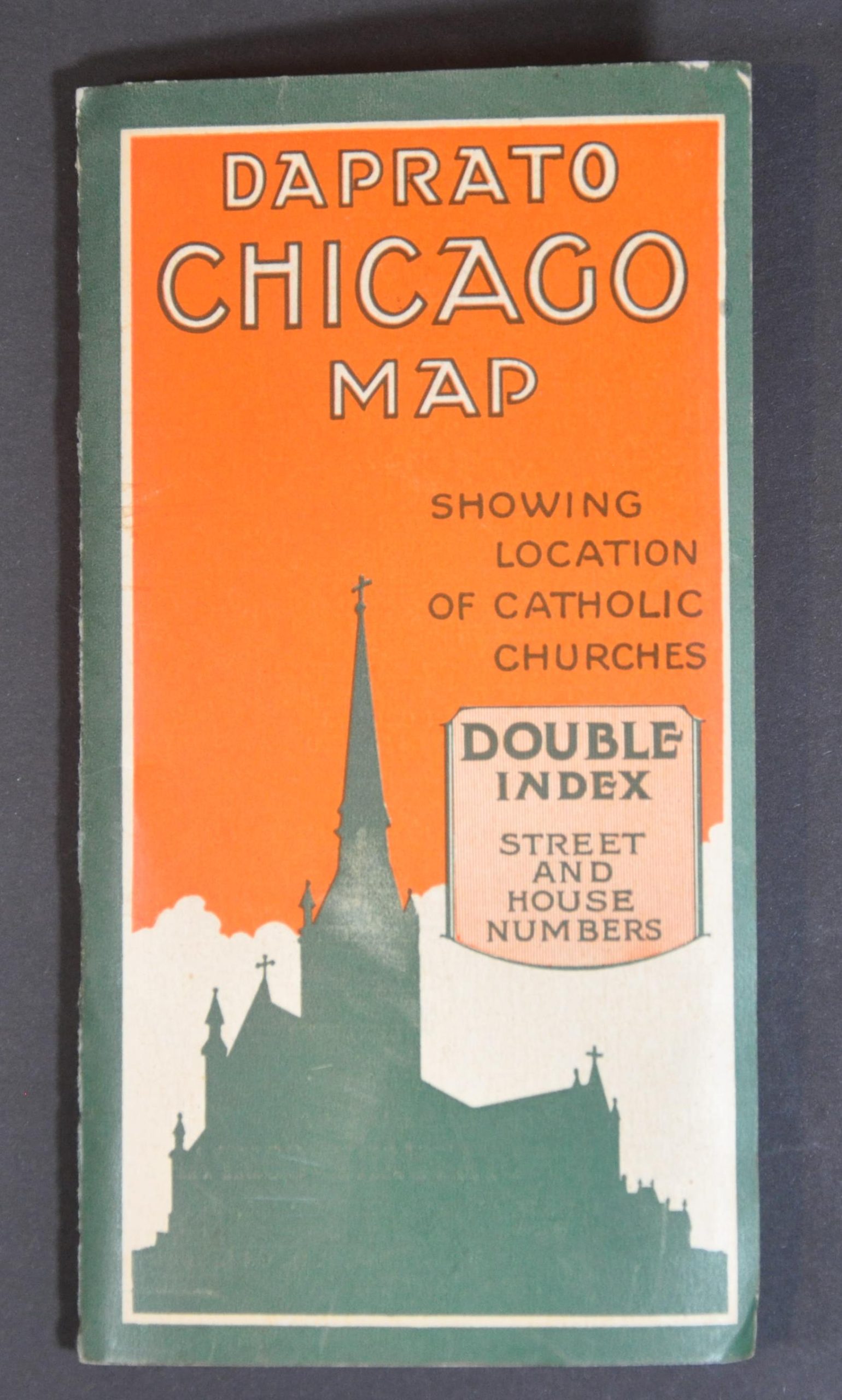
Daprato Map of Chicago Showing Location of All Catholic Churches
Catholic churches across Chicago in the mid-1920s.
Out of stock

Description
This wonderfully detailed pocket map of Chicago was designed by the Clason Map Company and published by the Daprato Statuary Company in 1926. It was distributed to attendees of the 28th International Eucharistic Congress held from June 20-24 of that year as a reference guide and a celebration of the Windy City’s religious devotion.
Over 225 Catholic churches are numbered and noted with bright red dots, reaching to every corner of the city limits. Other locations of interest for congress attendees, like the Coliseum, Municipal Pier, Holy Name Cathedral, and Eucharistic Congress Headquarters are also brightly highlighted. The Daprato Statuary Company Studios are treated in equal regard. Insets show the business district of Chicago and a diagram outlining the street numbering system.
The accompanying text provides an index of the numbered churches and other Catholic institutions, a directory of local clergy, a list of libraries and other places of interest, and the official program for the Eucharistic Congress. The map offers a fascinating insight into the religious composition of Chicago during the 1920s. According to the Encyclopedia of Chicago,
“After decades of creating geographically defined parishes, in the late nineteenth century the Roman Catholic Archdiocese of Chicago began creating “national” parishes to serve immigrant communities. At the time of the Eucharistic Congress in 1926, the territorial (predominantly Irish) parish of St. Bridget’s (#34) in Bridgeport had been joined by numerous ethnic parishes, all a short walk away from each other. These included Immaculate Conception of the Blessed Virgin Mary (#97, German), St. Mary of Perpetual Help (#141, Polish), St. Barbara’s (#24, Polish), and St. George (#73, Lithuanian). Cardinal George Mundelein discouraged the proliferation of national parishes after he came to Chicago in 1916.”
Source: Encylopedia of Chicago; Newberry Library;
Map Details
Publication Date: 1926
Author: Clason Map Company
Sheet Width (in): 25
Sheet Height (in): 34
Condition: A-
Condition Description: Pocket map folded into 35 segments and affixed to original stiff manila paper wraps. The bottom horizontal crease has toned with age and there is light to moderate wrinkling and wear along old fold lines, but otherwise in near fine condition. Include 16 pp. of printed text stapled to the covers.
Out of stock