
Dallas-Fort Worth Turnpike
$175.00
Ride along the ‘Big-D – Cowtown’ Turnpike.
1 in stock
Description
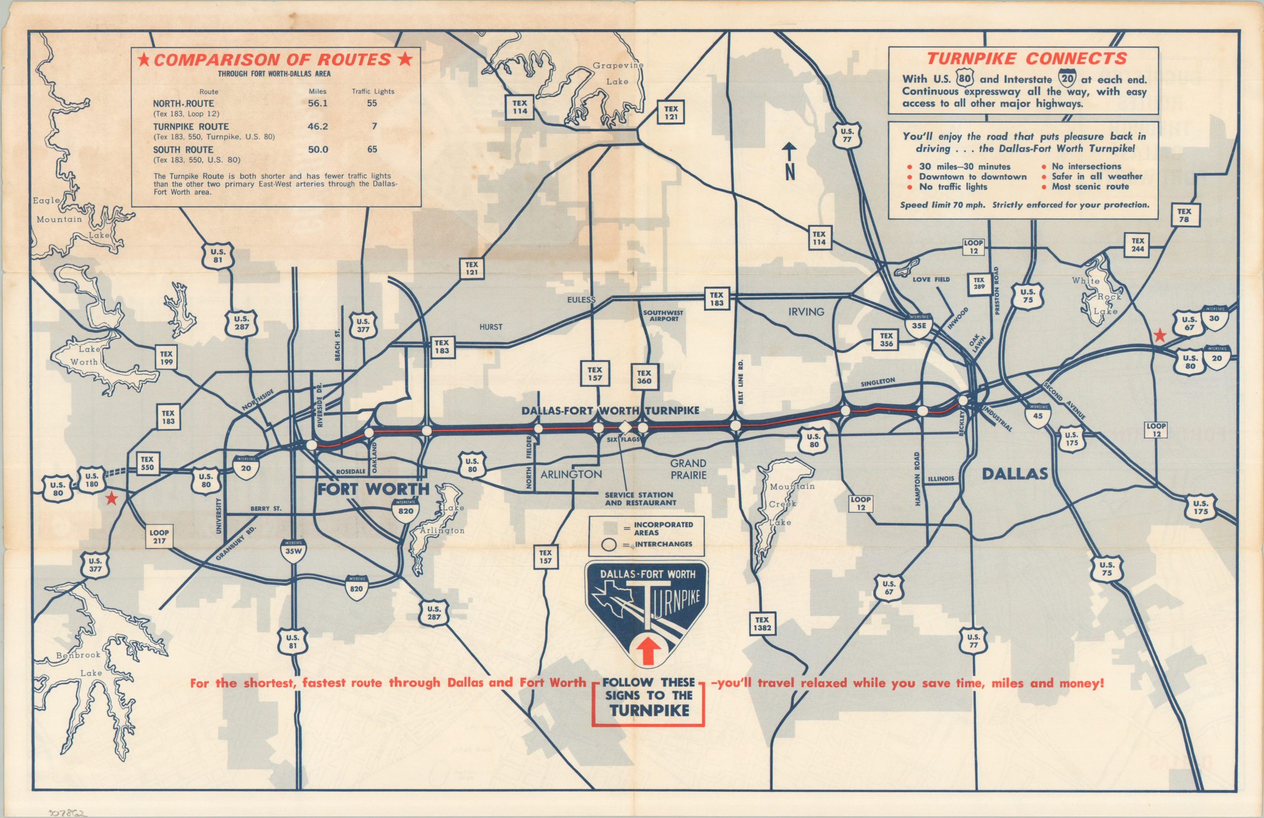
Opened in 1957, the Dallas-Fort Worth Turnpike offered a pristine 30-mile concrete surface, free of stoplights, on which motorists could easily cruise between the metropolitan region’s two primary urban centers. The price was 50 cents, but since it could save as much as an hour in travel time, drivers were eager to stop at the toll gate.
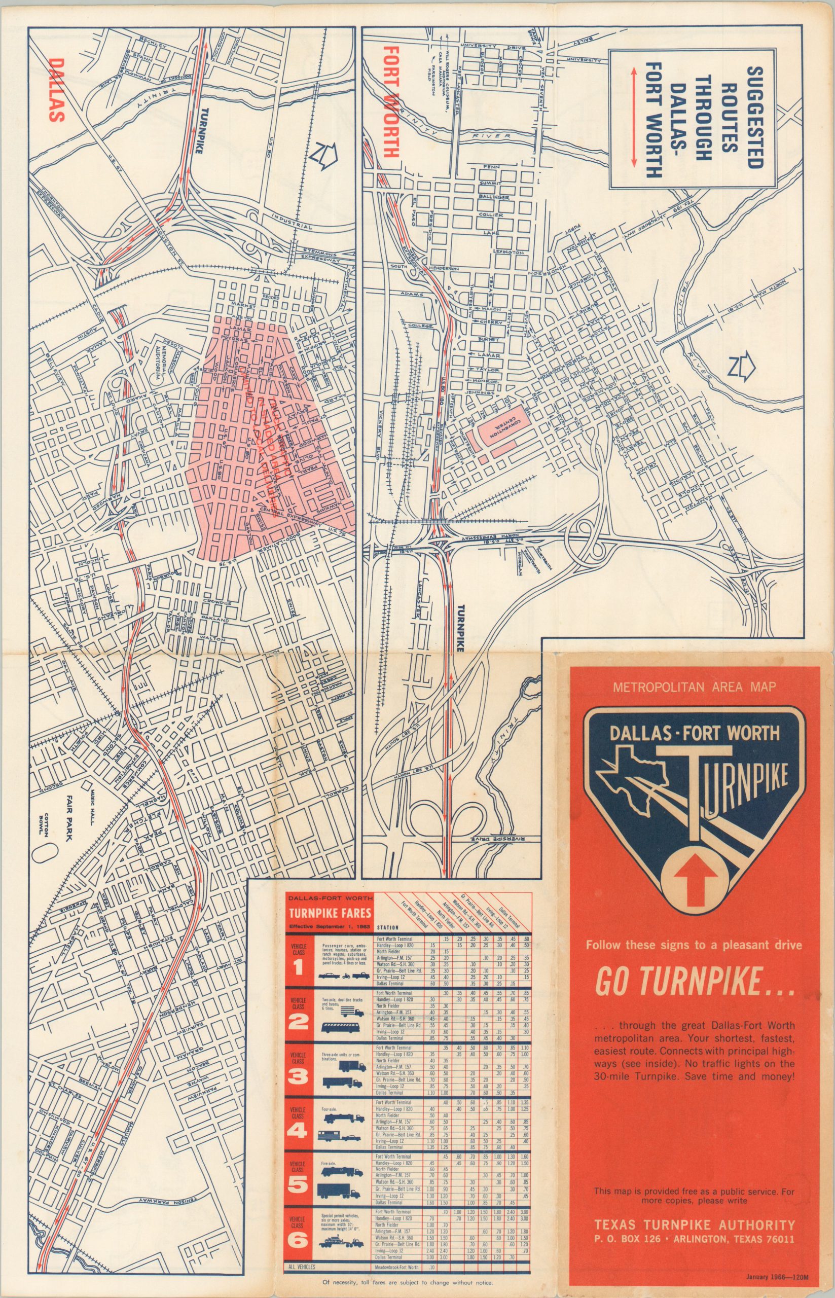
This map was published by the Texas Turnpike Authority in 1966 – nearly a decade after the motorway first began operations (by then, the price had increased by a dime). A relatively simple map shows the direct route between Dallas and Fort Worth, with accompanying statistics (including total traffic lights) emphasizing the obvious benefits of the tollway. A pair of street plans on the verso shows the direct approaches to the highway from either end.
Source: Dallas Star-Telegram
Map Details
Publication Date: 1966
Author: Texas Turnpike Authority
Sheet Width (in): 16.75
Sheet Height (in): 10.90
Condition: B+
Condition Description: Double-sided folding brochure with moderate toning on the front panel that does not affect the image. Creasing and wear along old folds, including small separations at joints and a bit of edge wear (including a chipped margin). Good condition overall.
$175.00
1 in stock