
Dakota
$90.00
The Dakota Territory seven years before statehood.
1 in stock
Description
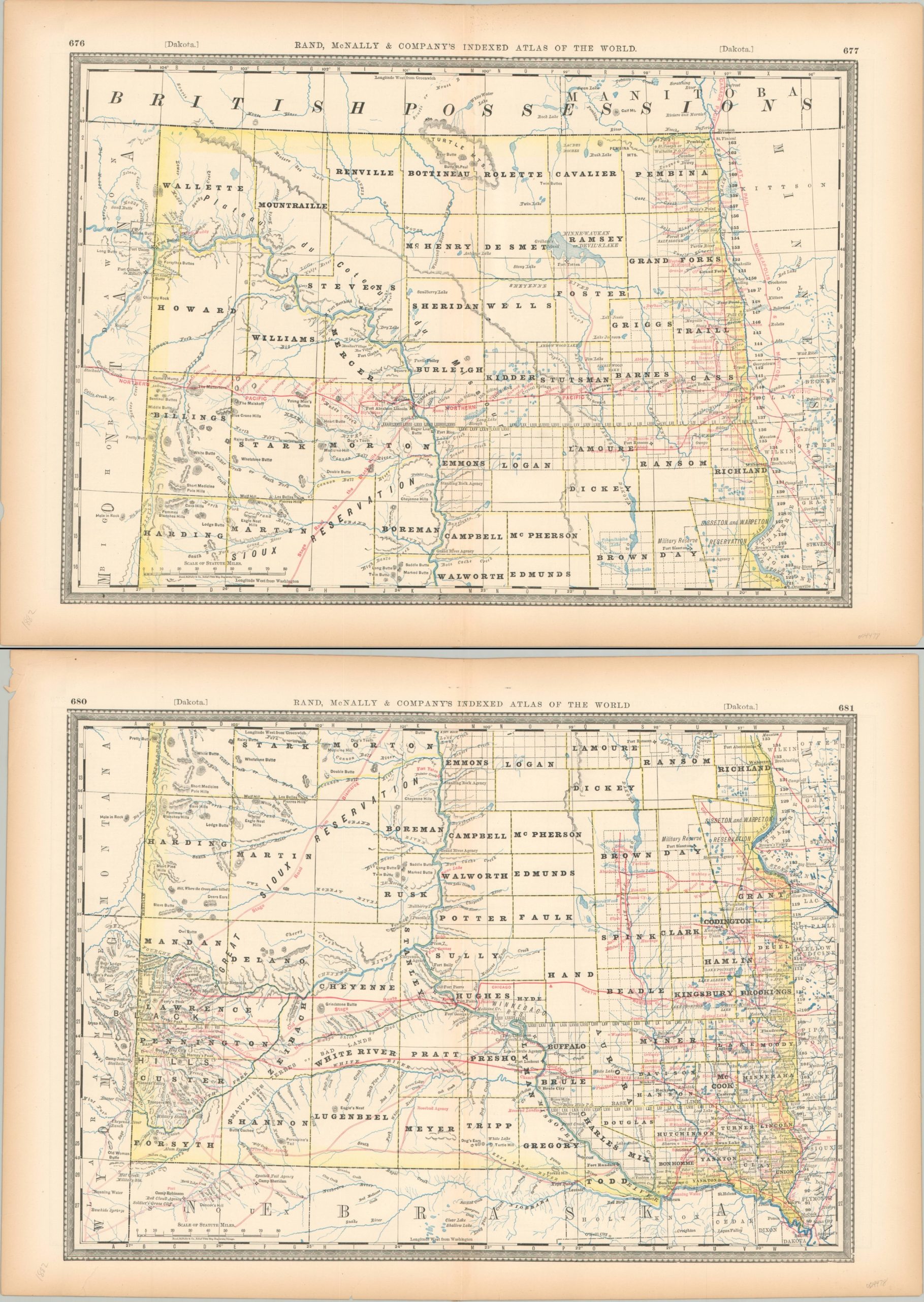
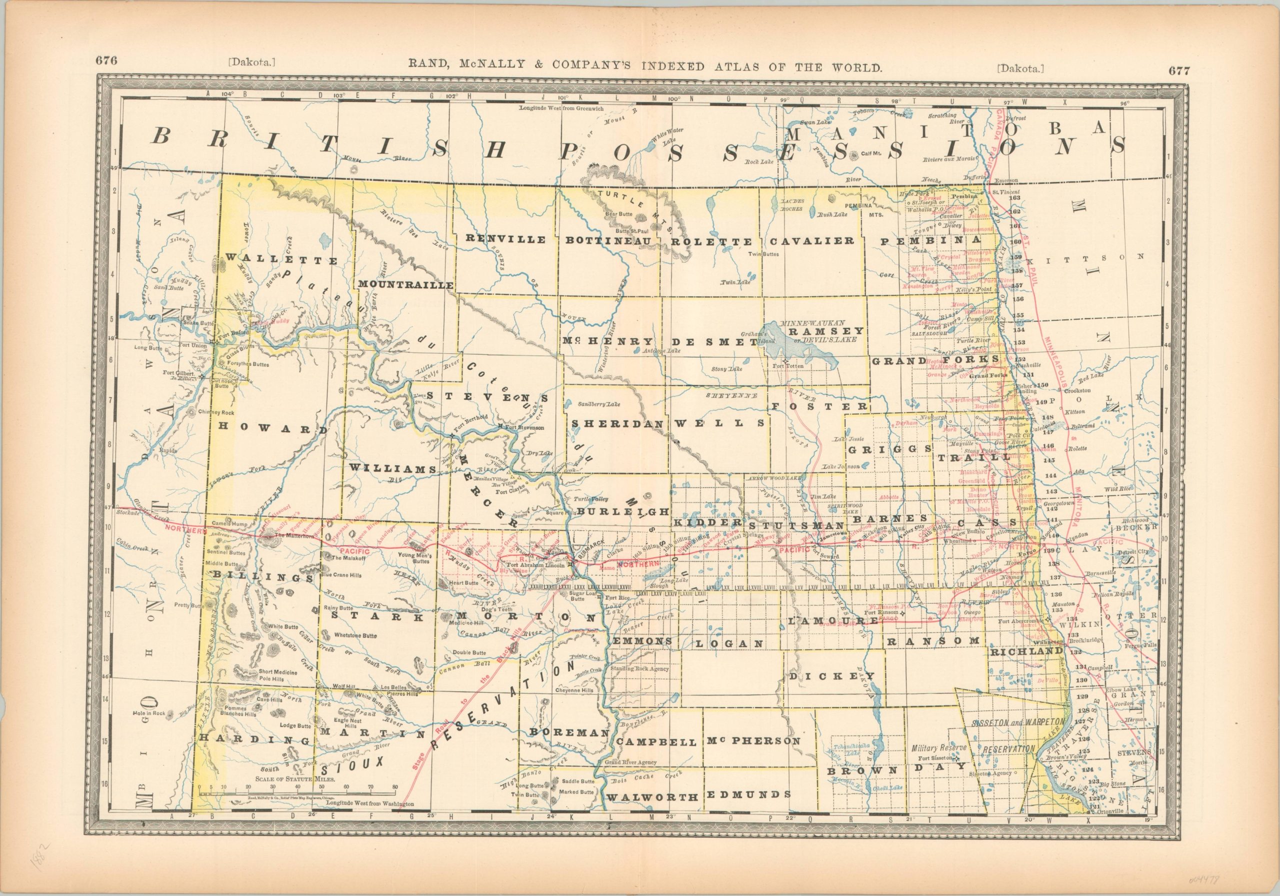
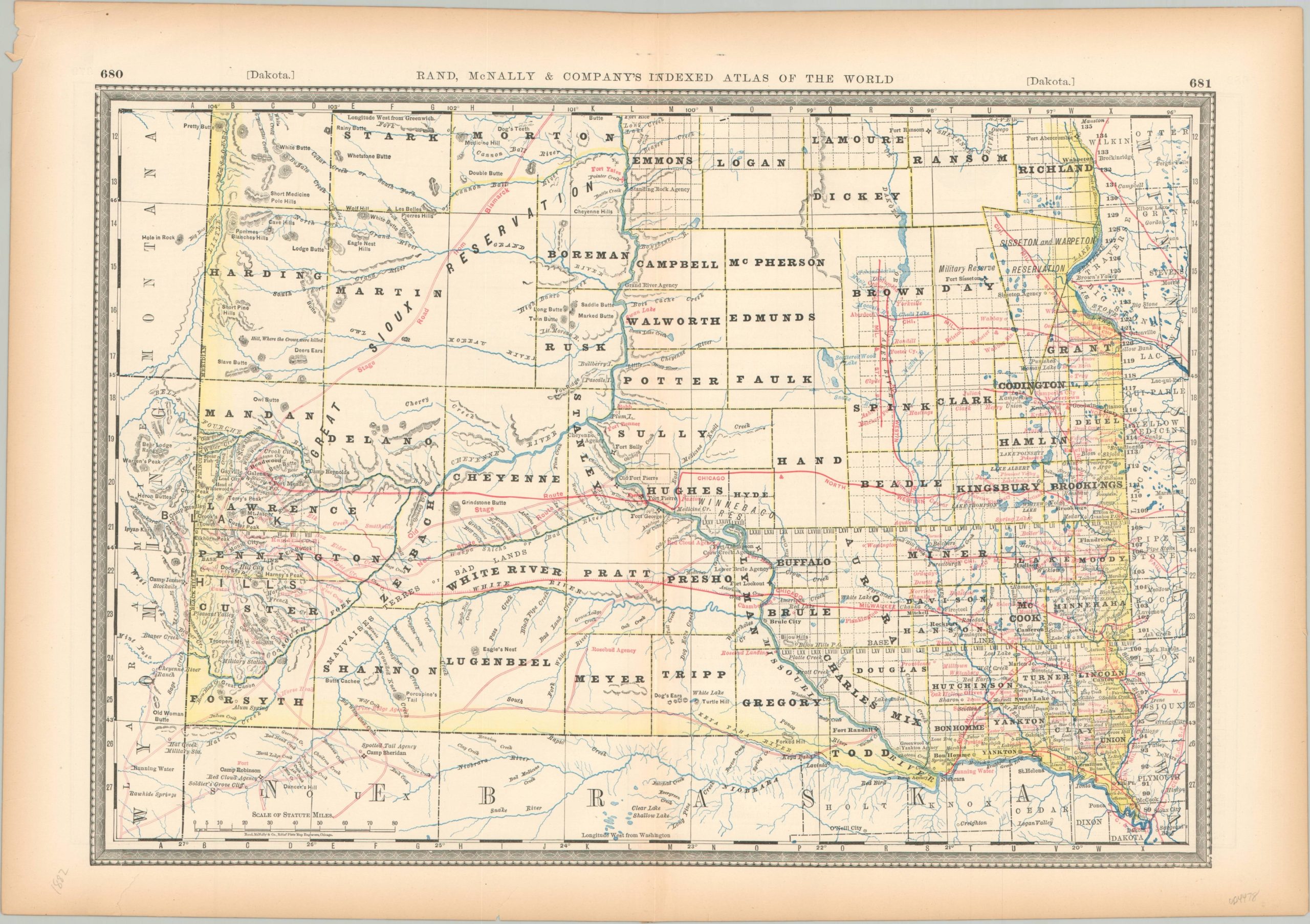
This detailed pair of maps, printed in 1882, shows the last vestiges of the Dakota Territory before it was officially divided into North and South Dakota in 1889. Regional divisions were simmering at the time of publication, and the first official bill to split the states along the 46th parallel was submitted two years after printing.
The image shows surveyed townships closely following navigable rivers and railroads. The latter, along with stage roads, are highlighted in red. Topography is depicted in hachure and an interesting variety of geographic features and locations of interest are labeled. Native American reservations are outlined and several Indian Agencies are also identified. Of note is the territorial capital at Yankton, moved to Bismarck in 1883 and further exacerbating tension between north and south.
The maps were published in Chicago in 1882 by Rand McNally as part of the Indexed Atlas of the World.
Map Details
Publication Date: 1892
Author: Rand McNally
Sheet Width (in): 21
Sheet Height (in): 14.6
Condition: B+
Condition Description: Two sheets, each printed on somewhat brittle paper that has toned around the margins. Moderate wear present, including some separation along fold lines (repaired on verso), edge tears, and wrinkled corners. Good condition overall.
$90.00
1 in stock