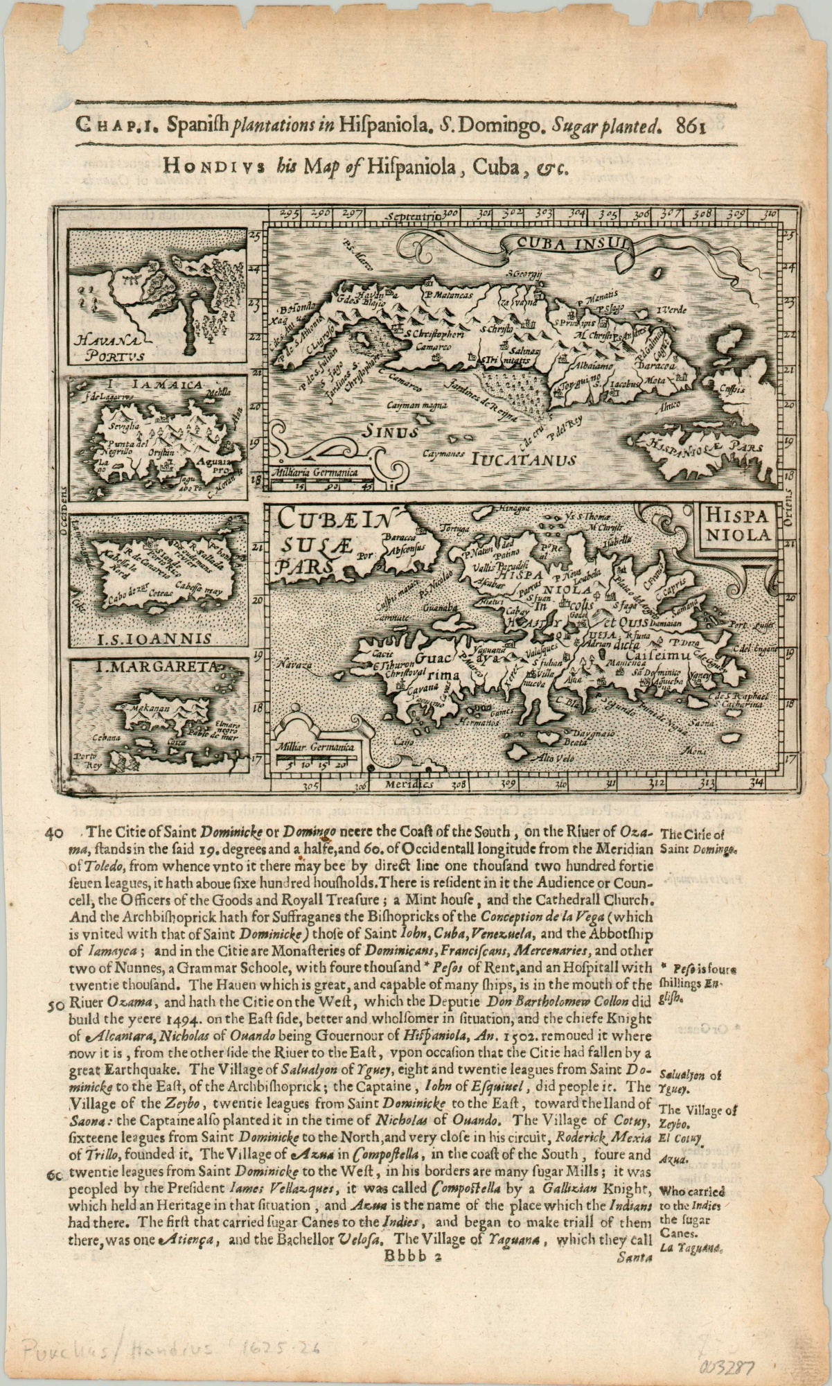
Cubae Insulae Pars
$200.00
Caribbean gems in the Spanish crown, from the early 17th century.
1 in stock
Description
This interesting group of six separate maps shows the major sugar production and export regions from Spain’s overseas empire in the Caribbean. The islands of Cuba and Hispaniola are the largest, though details remain sparse on either.
In addition, smaller plans on the left show the port of Havana, Jamaica, St. John, and Margarita Island. The text below the image provides geographic information regarding the major settlements throughout the region.
The map was first created by Jocodus Hondius in 1607 for his Atlas Minor, but this particular example was republished in 1625 by Samuel Purchas as part of his Hakluytus Posthumus. The name of the four-volume series refers to British geographer Richard Hakluyt and was intended to be a continuation of his monumental works on travel and geography. The encyclopedic efforts bankrupted Purchas, and he died in debtor’s prison the year after it was first printed.
Map Details
Publication Date: 1625
Author: Jocodus Hondius
Sheet Width (in): 7.90
Sheet Height (in): 12.9
Condition: B+
Condition Description: Map occupies the upper half of the sheet, with moderate wear and toning around the outer edges. Most evident on the left side and top of the sheet. Good condition overall.
$200.00
1 in stock

