[CTA Map of Chicago]
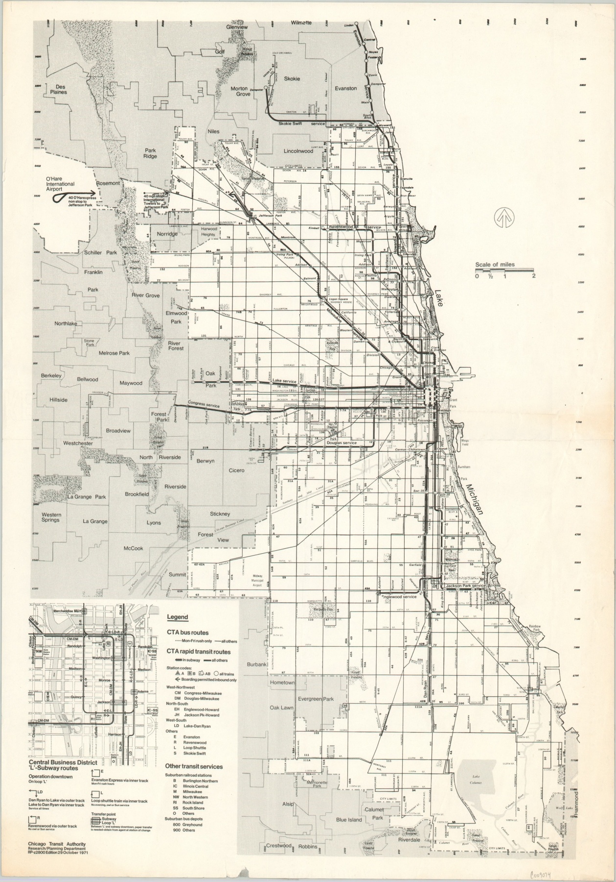
The Chicago Transit Authority near its height.
Out of stock
Description
Published by the Chicago Transit Authority (CTA) in 1971, this map of Chicago shows the city’s transportation network near its maximum extent under the agency’s authority. Just two years after the map was issued, the Regional Transportation Authority was created to regulate and manage suburban operations.
Additional details on CTA operations, plus an inset map of the Loop, are shown in the lower left. Service has yet to be extended to Midway Airport, though progress on the construction to the line to O’Hare is shown.
Map Details
Publication Date: 1971
Author: Chicago Transit Authority
Sheet Width (in): 13.9
Sheet Height (in): 19.7
Condition: B
Condition Description: Creased and wrinkled along former fold lines and the outer edges. Several small tears and light toning also present along the edge of the sheet.
Out of stock