
Cruising Guide Cape Charles, VA. to Cedar Keys, Fla.
$95.00
A colorful mid century boating chart of the South Atlantic coastline.
1 in stock
Description
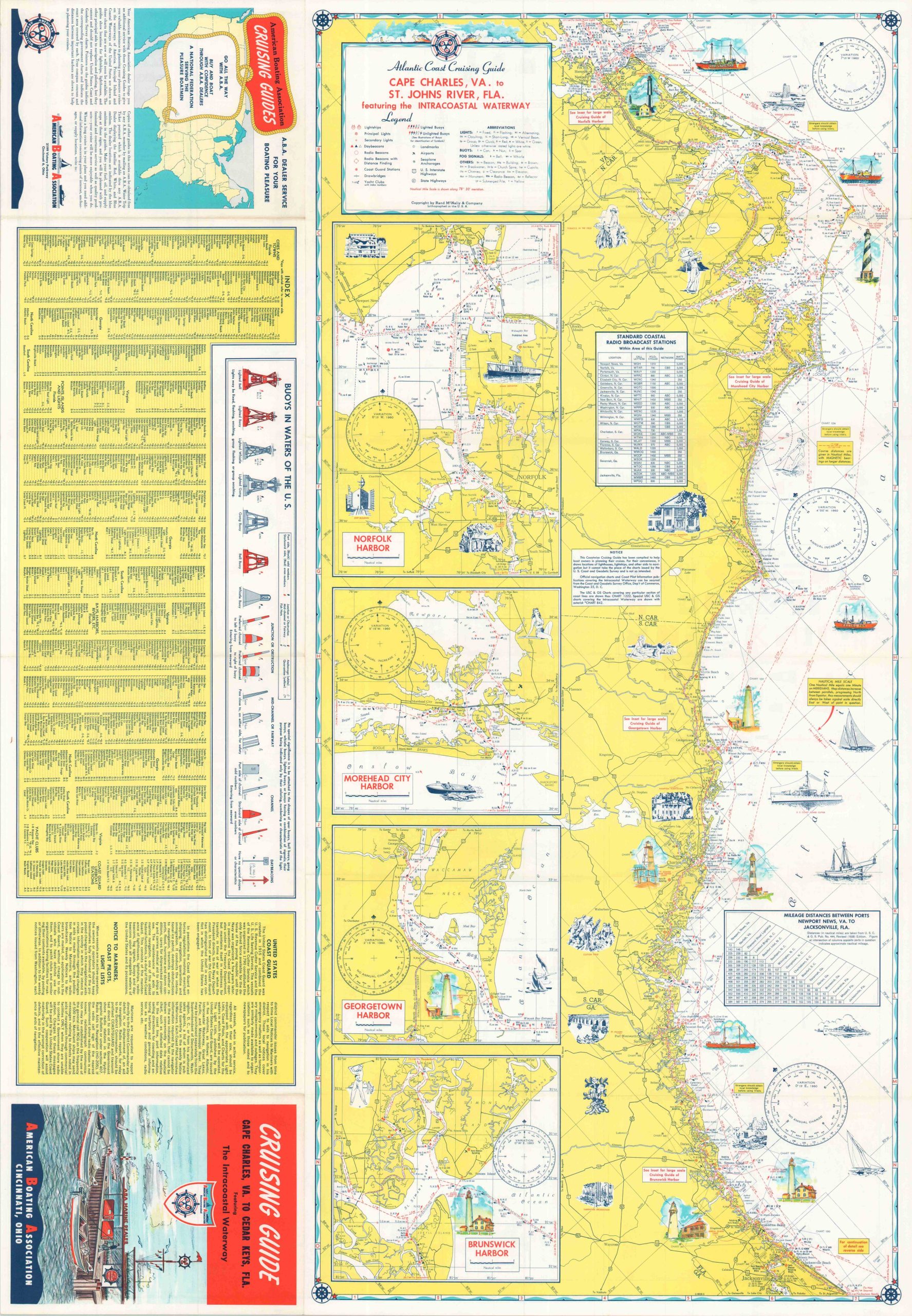
This marvelous maritime map was published around 1960 by the Chicago-based firm of Rand McNally & Company, Inc. One side of the sheet presents the waters of the Atlantic Coast between Cape Charles, Virginia and the St. Johns River (Jacksonville) in northern Florida. Amid the helpful sailing information are small vignettes capturing lighthouses and lightships, plus a handful of cultural elements, historic sites, etc. Insets show the harbors at Norfolk, Morehead City, Georgetown, and Brunswick. Various features are labeled throughout the image, including radio beacons, lights, buoys, airstrips, bridges, yacht clubs, and more.
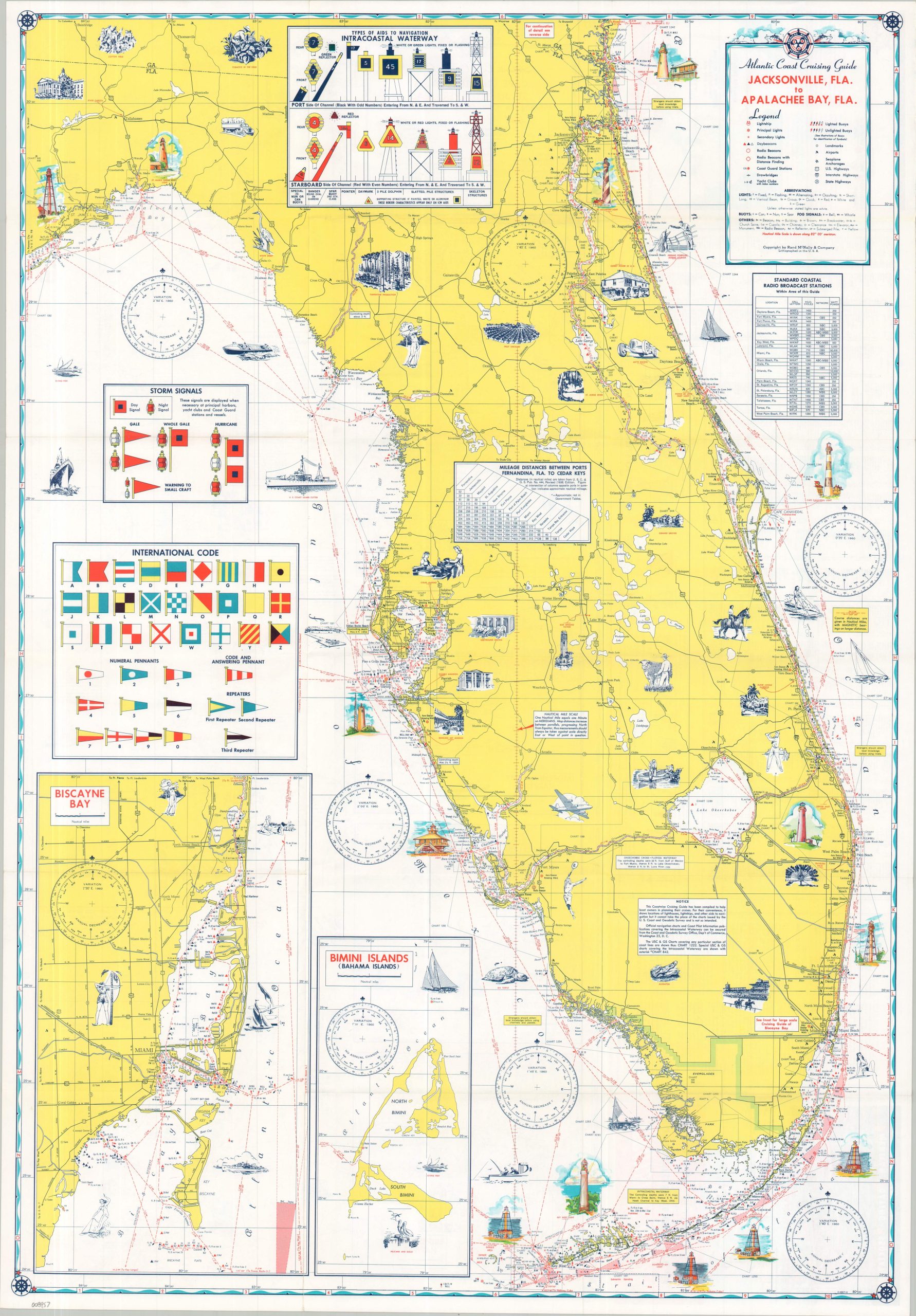
The verso shows a similar overview encompassing the entire Florida Peninsula, plus a portion of Alabama’s Gulf Coast. A large inset outlines Biscayne Bay, with an adjacent smaller one showing Bimini Islands in the Bahamas.
Map Details
Publication Date: c. 1960
Author: Rand McNally & Company
Sheet Width (in): 23.00
Sheet Height (in): 33.00
Condition: A
Condition Description: Double-sided map brochure with faint wear along original folds. Near fine condition overall.
$95.00
1 in stock