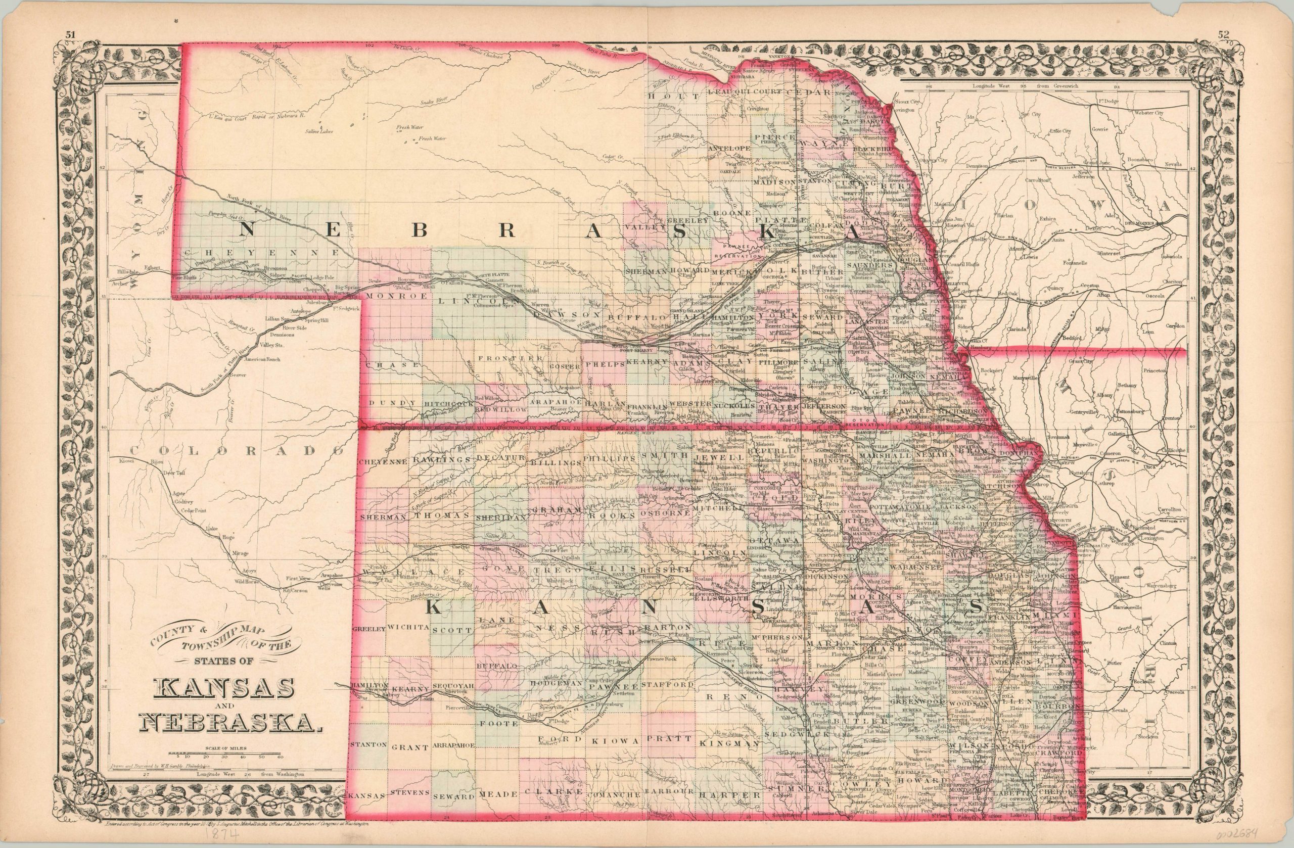
County & Township Map of the States of Kansas and Nebraska
$125.00
Kansas and Nebraska less than a decade after the conclusion of the American Civil War.
1 in stock
Description
This striking map of the relatively new states of Kansas (1861) and Nebraska (1867) was published by Samuel Augustus Mitchell in 1874. Settlements are very clearly concentrated in the east, but the prominently featured railroads were, at the time of publication, bringing in waves of settlers eager to purchase inexpensive land further west.
Kansas is shown as almost entirely surveyed, with only a few outstanding counties lacking townships in the southwest, while large portions of Nebraska remain largely frontier. Forts, geographic landmarks, and Native American reservations are just a few of the fascinating contemporary details labeled within the image, encased within a decorative grapevine border.
Map Details
Publication Date: 1874
Author: Samuel Augustus Mitchell
Sheet Width (in): 23
Sheet Height (in): 15
Condition: A-
Condition Description: Mild to moderate wear along the outer edges, including toning, a few chips in the paper, and several small tears. About 3" of separation along the vertical centerfold has been repaired on the verso with archival tape. Very good, with original color.
$125.00
1 in stock

