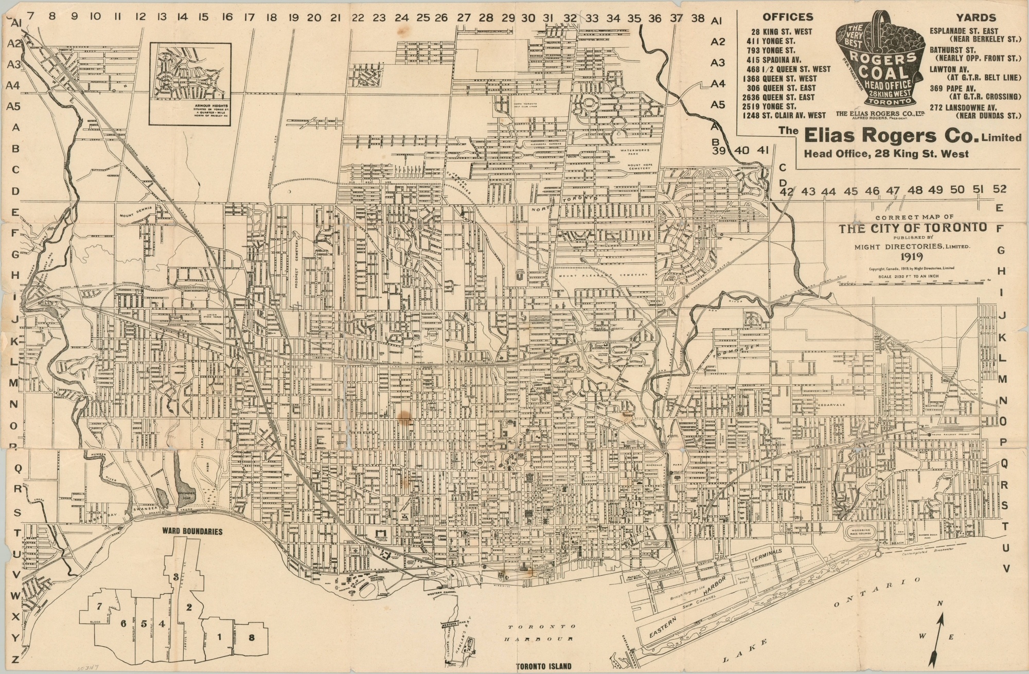
Correct Map of the City of Toronto
$200.00
Prohibition-era map of Toronto, Canada.
1 in stock
Description
Issued at the precise scale of 2,130 feet to 1 inch, this street plan of Toronto gives a detailed impression of the Canadian metropolis about two decades into the 20th century. It is oriented slightly to the northwest to allow for a horizontal street grid and Toronto Harbor to be situated conveniently in the foreground.
Streets, prominent businesses, public buildings, and other locations of interest are labeled within the image. An inset map in the lower left shows the eight city ward boundaries, while an eye-catching advertisement in the upper right promotes a local collier.
Published in Toronto by Might Directories, Limited in 1919. Blank on verso.
Map Details
Publication Date: 1919
Author: Might Directories, Limited
Sheet Width (in): 25.3
Sheet Height (in): 16.6
Condition: B
Condition Description: Heavy wear and creasing along former fold lines. Numerous areas of separation have been repaired on the verso with archival tape, but a bit of image loss, edge tears, and a few small holes at fold intersections remain. One dark spot near the center of the image and a lighter offsetting examples below and to the right.
$200.00
1 in stock

