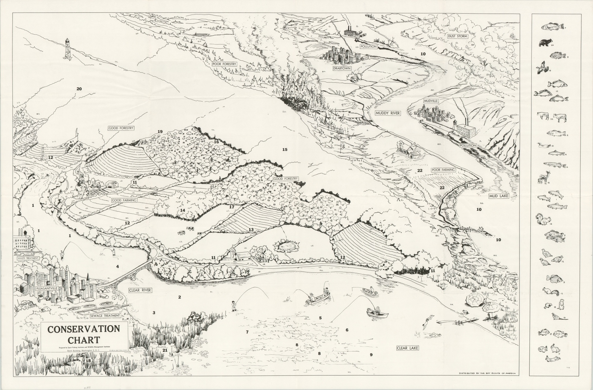
Conservation Chart
$150.00
From Drabtown to Pleasantville – the story of proper conservation.
1 in stock
Description
Two tales of conservation efforts are displayed on this chart, which outlines the interconnected system of cities, rivers, forests, farms, and other ecosystems that populate our planet.
The upper right presents a less than ideal situation; with Drabtown surrounded by pollution, a muddy river, dust storms, and poor forestry. However, the application of better practices as one goes to the lower left ends up with an idyllic circumstance in the form of Pleasantville. Prepared by the Sport Fishing Institute and Wildlife Management Institute.
Published in 1955 and distributed by the Boy Scouts of America.
Map Details
Publication Date: 1955
Author: Sport Fishing Institute
Sheet Width (in): 42.25
Sheet Height (in): 27.5
Condition: A
Condition Description: Creasing along fold lines, as issued, and a bit of extraneous wrinkling elsewhere in the sheet. Very good to near fine overall.
$150.00
1 in stock

