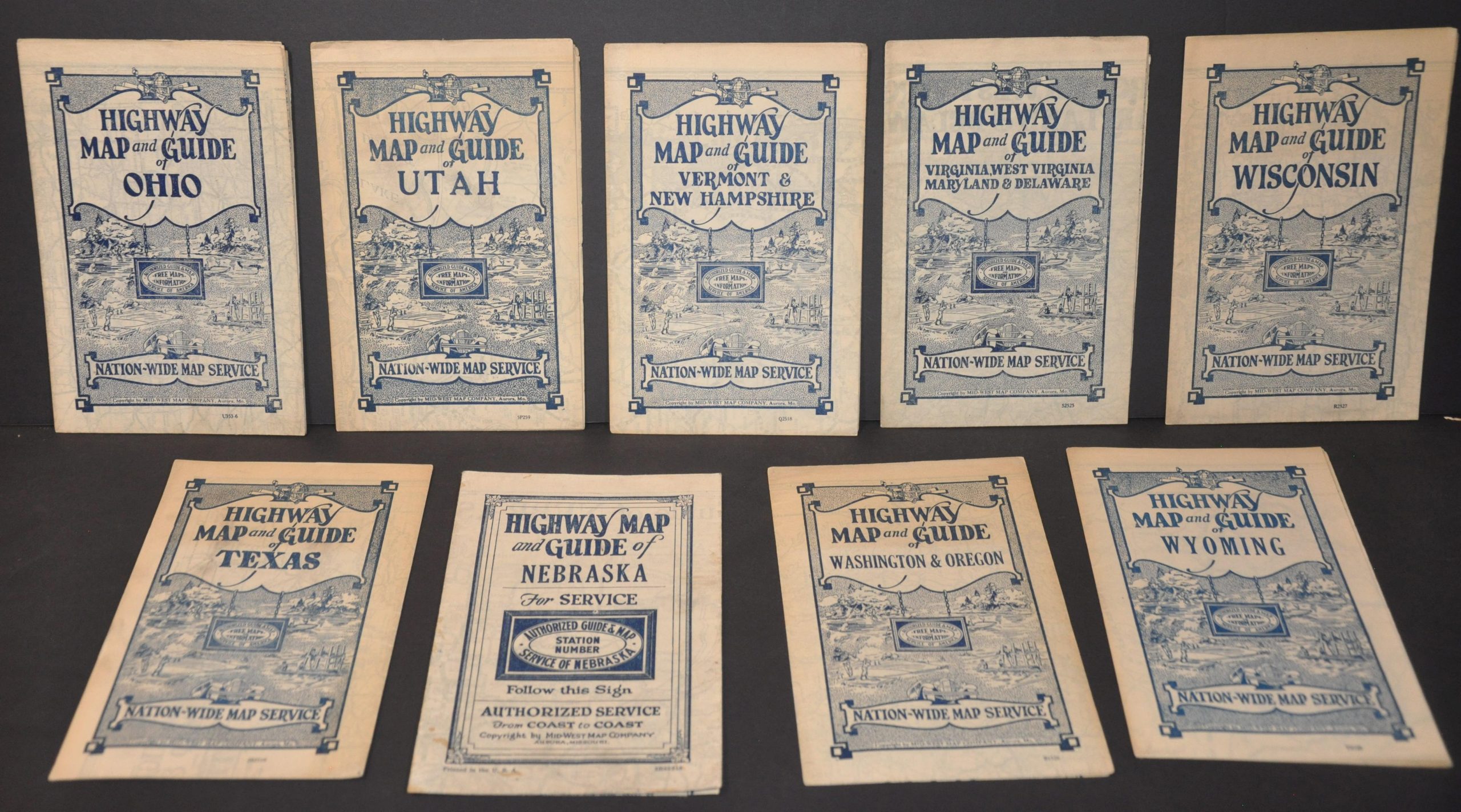
[Complete Set of Mid-West Map Company Road Maps]
Early efforts to create a nation-wide system of free map distribution.
Out of stock
Description
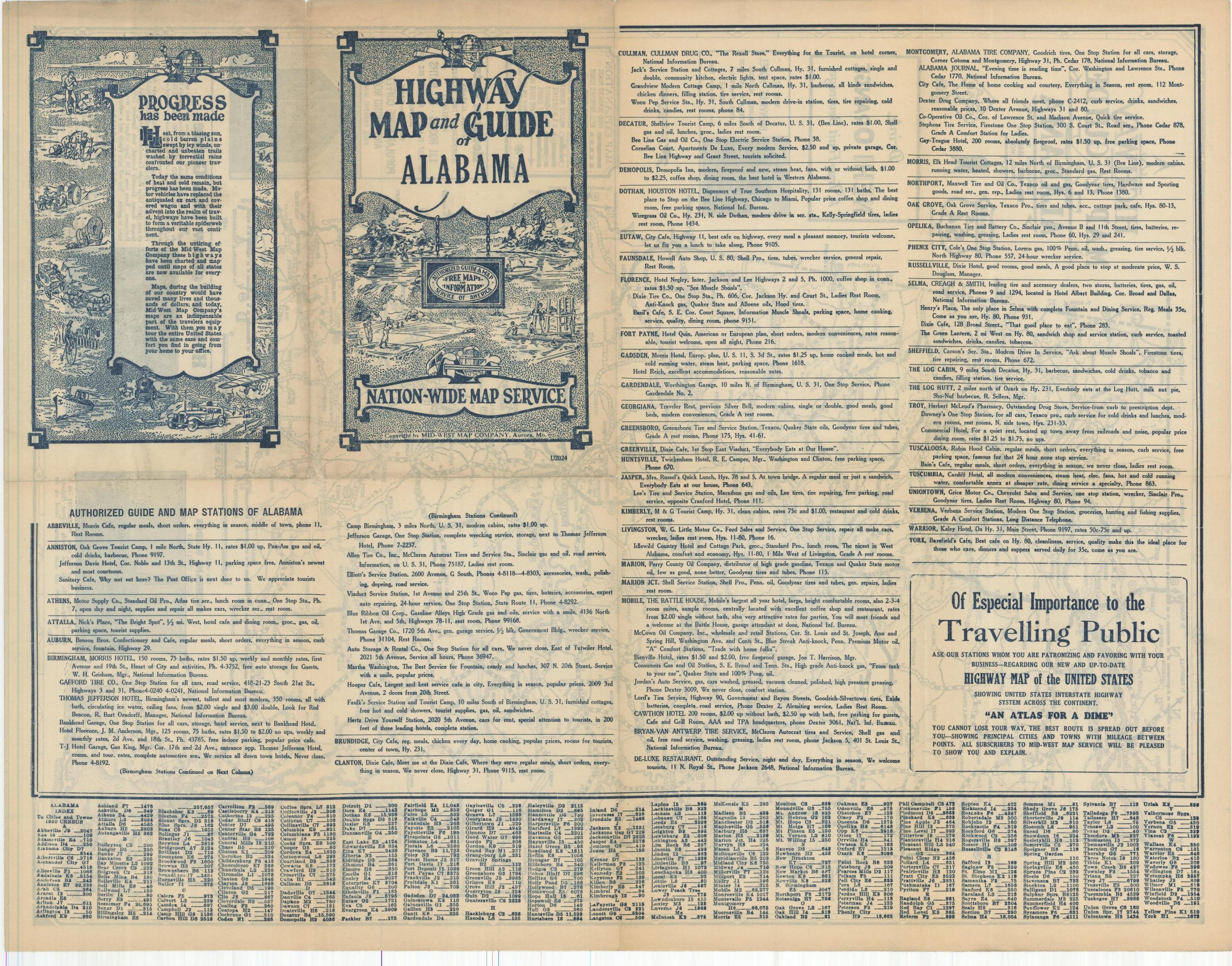
"Progress has been made...Through the untiring efforts of the Mid-West Map Company these highways have been charted and mapped until maps of all states are now available for every one.
Maps, during the building of our country would have saved many lives and thousands of dollars; and today, Mid-West Map Company's maps are an indispensable part of the travelers equipment. With them you may tour the entire United States with the same ease you find in going from your home to your office." [back cover]
The Mid-West Map Company of Aurora, Missouri began issuing maps in the late 1920s to promote the products of oil companies who sponsored their publication. This would soon develop into broader efforts to create a 'Nation-Wide Map Service' that provided free informational road maps to motor tourists across the contiguous United States.
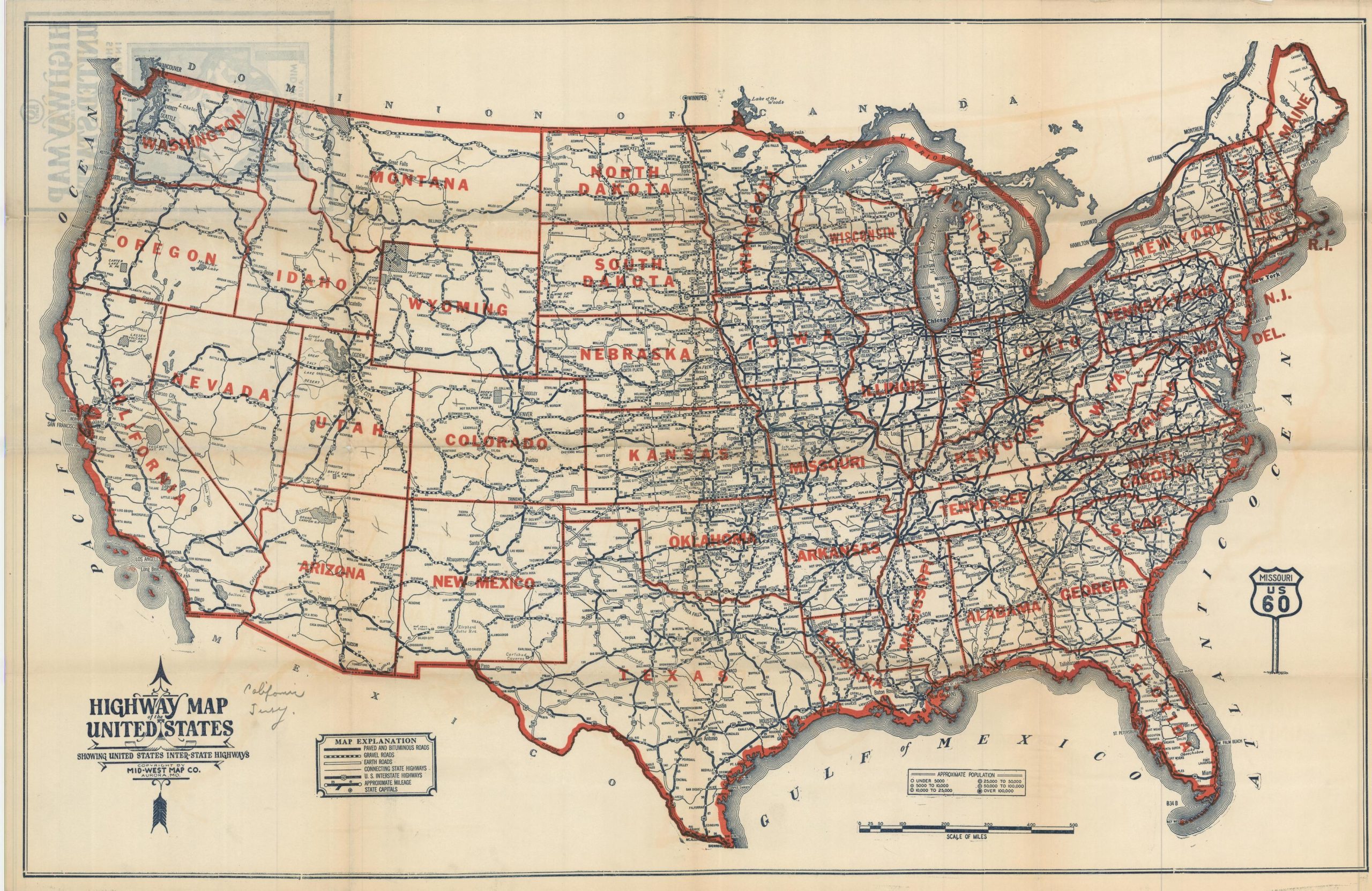
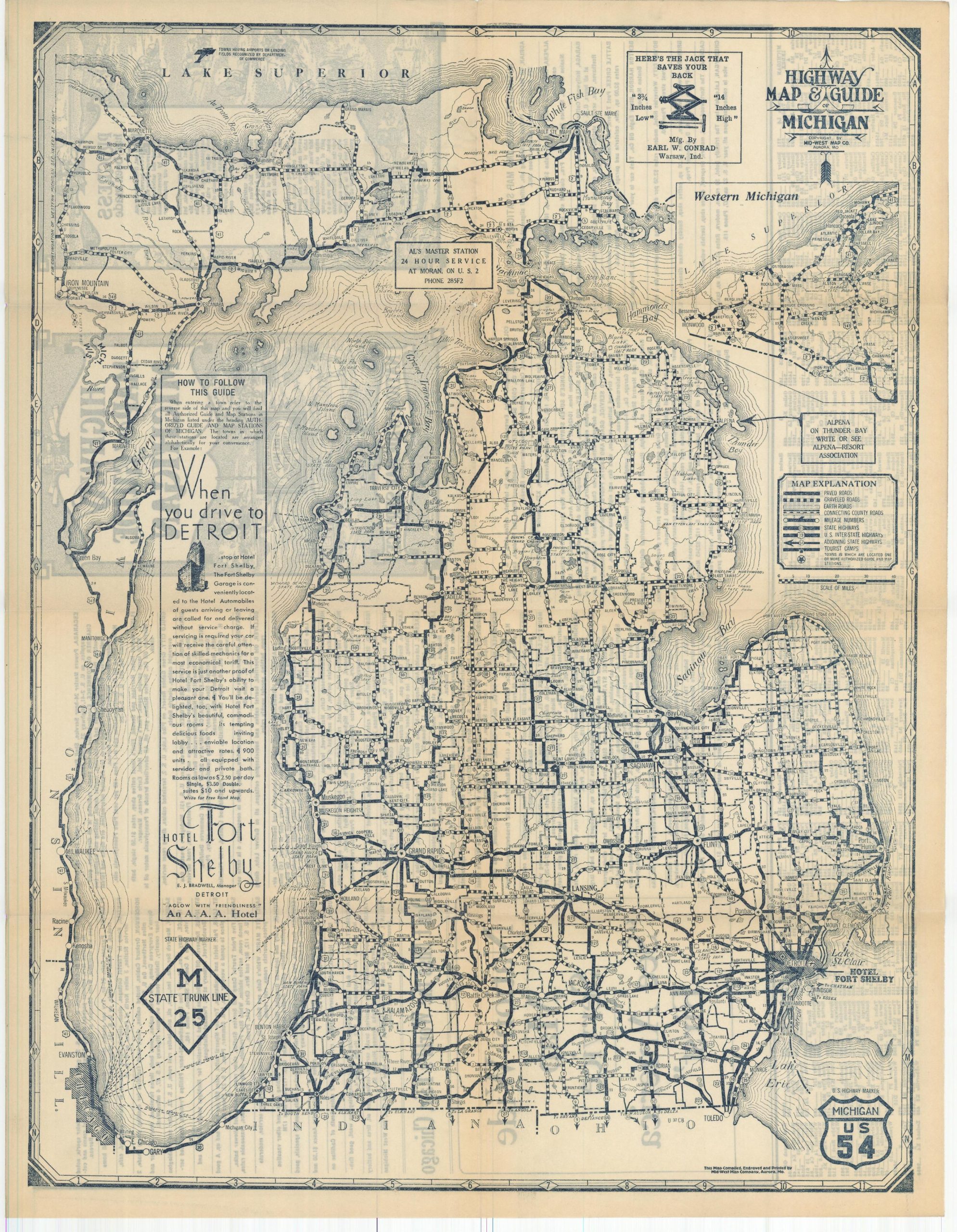
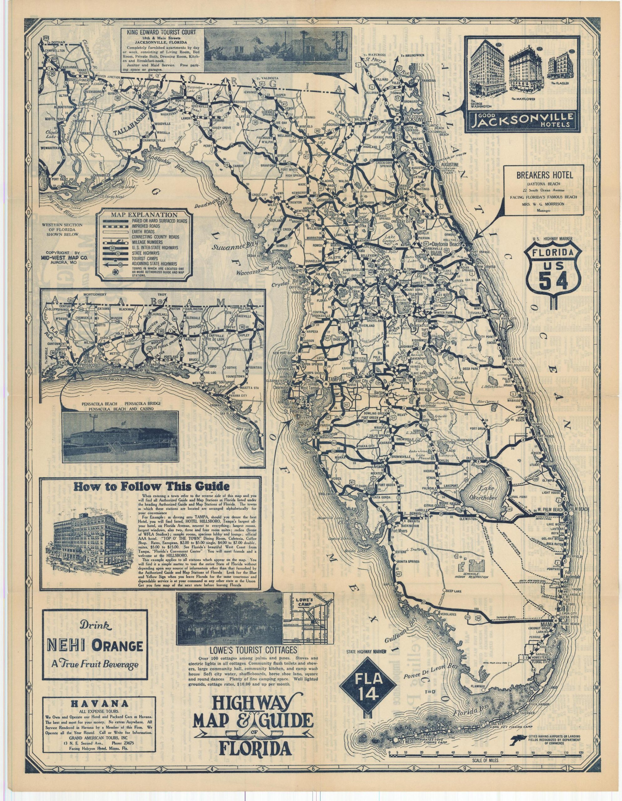
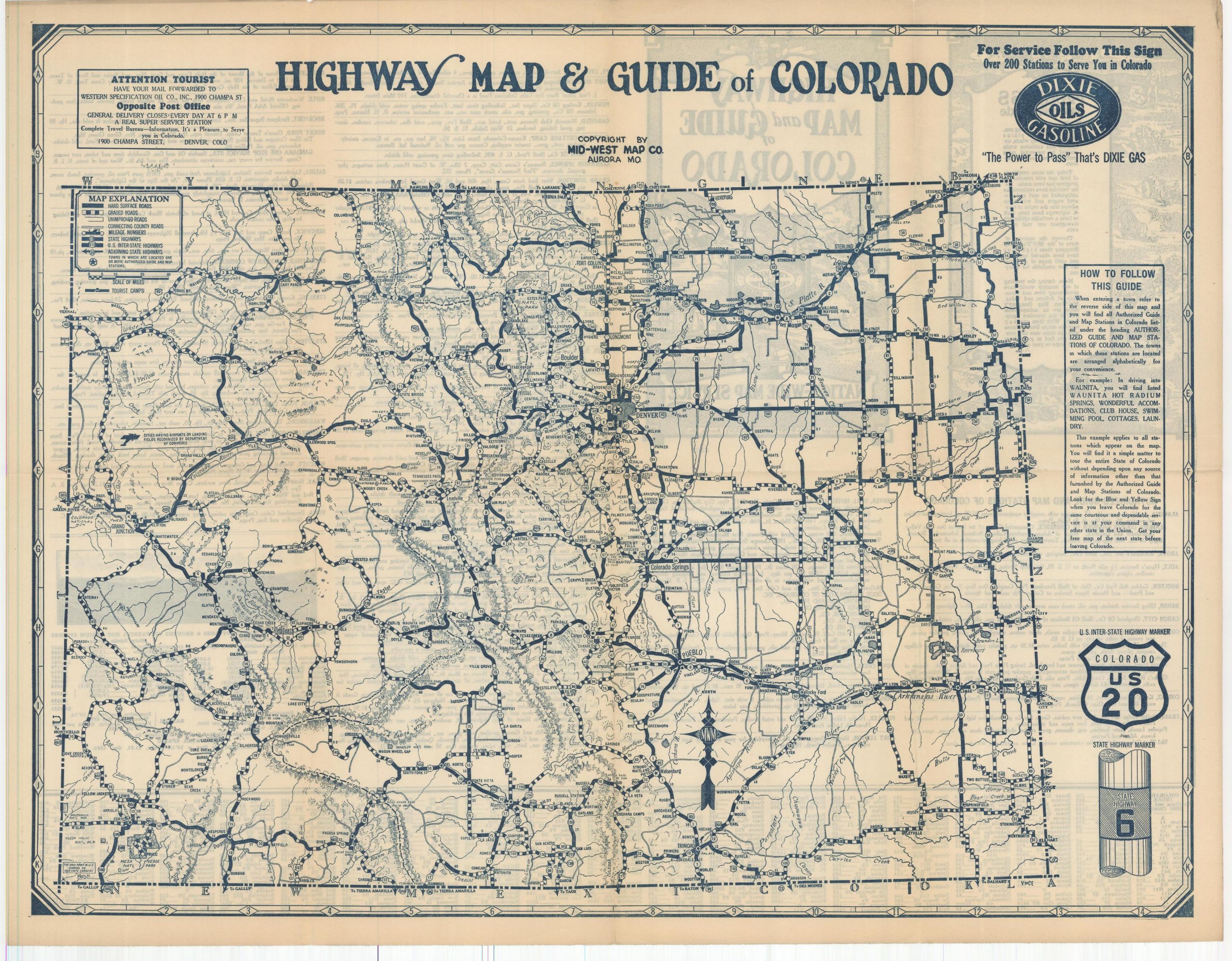
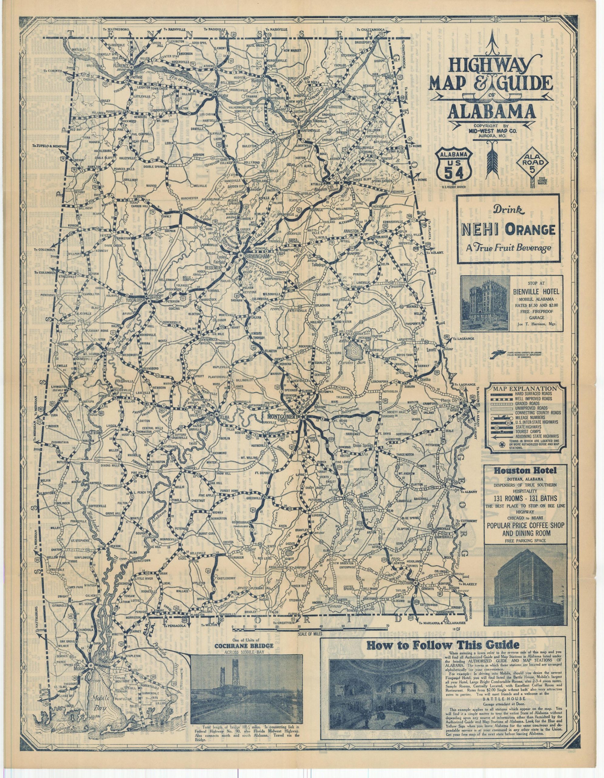
This set captures the results of those efforts and shows the entirety of America's road network during the early 1930s. Each sheet, 38 in total, provides a detailed overview of the surface composition - paved, gravel, dirt, etc. - of the primary automobile routes across the region. Tourist camps, airports/landing fields, cities, and major geographic features are labeled throughout the image. Numbered state highway markers, introduced nationally about a decade prior but still failing to follow a uniform design, are individually illustrated - usually affixed to an electrical pole.
A variety of contemporary advertisements, inset plans, and instructions on how to follow the guide are also provided on most of the sheets. An excerpt from the latter is provided below; "Look for the Blue and Yellow Sign when you leave [state] for the same courteous and dependable service is at your command in any other state in the Union. Get your free map of the next state before leaving this one."
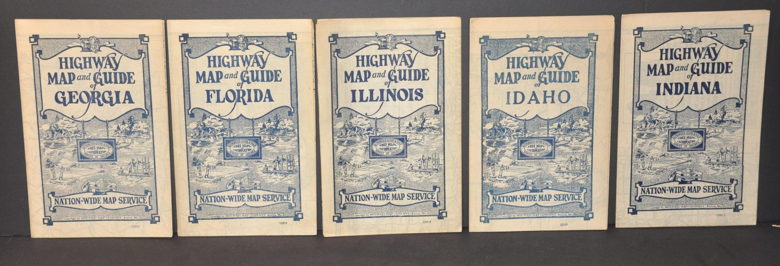
Towns containing one or more of these local distributors are starred on each map. The aforementioned blue and yellow sign advertising for 'Free Maps and Information' is also depicted. The verso presents an alphabetical index of each town on the Nation-Wide Map Service, along with a brief summary of their respective travelers' amenities - generally hotels, restaurants, garages, and service stations. An index of towns and their populations, provided using data from the 1930 census, is also provided. The list of maps included in the collection is as follows:
Highway Map and Guide of the United States
Highway Map and Guide of Alabama
Highway Map and Guide of Arizona & New Mexico
Highway Map and Guide of Arkansas
Highway Map and Guide of Colorado
Highway Map and Guide of California & Nevada
Highway Map and Guide of Florida
Highway Map and Guide of Idaho
Highway Map and Guide of Illinois
Highway Map and Guide of Indiana
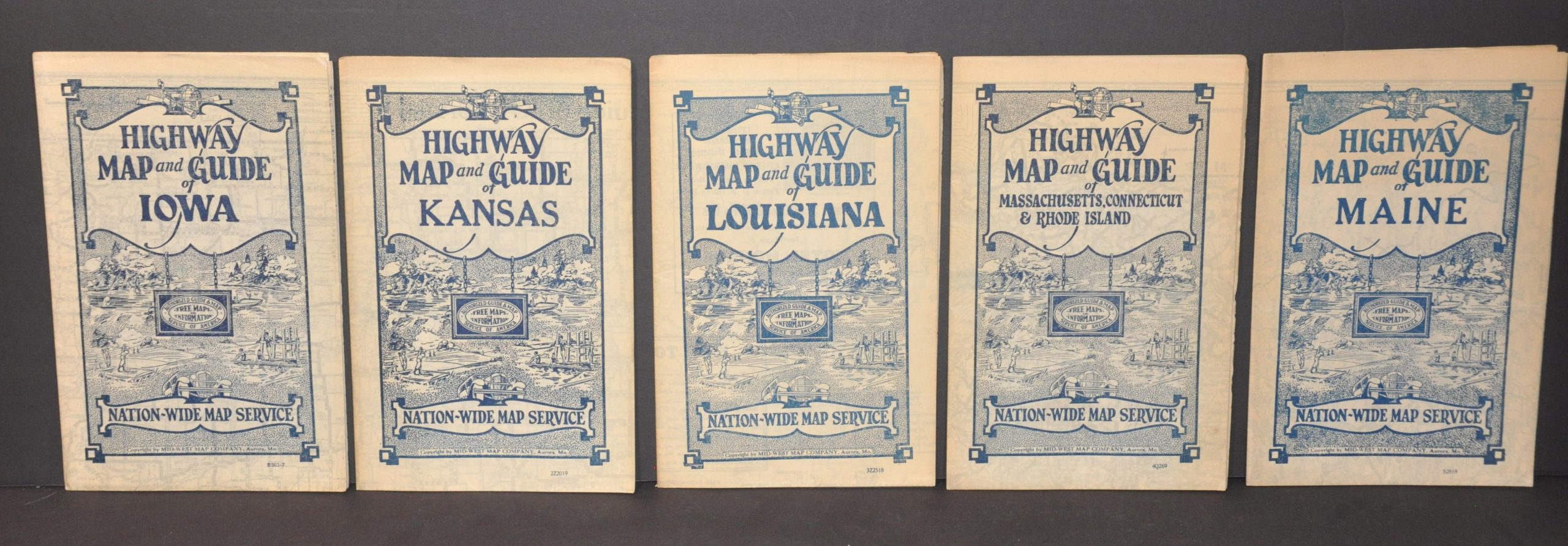
Highway Map and Guide of Iowa
Highway Map and Guide of Georgia
Highway Map and Guide of Kansas
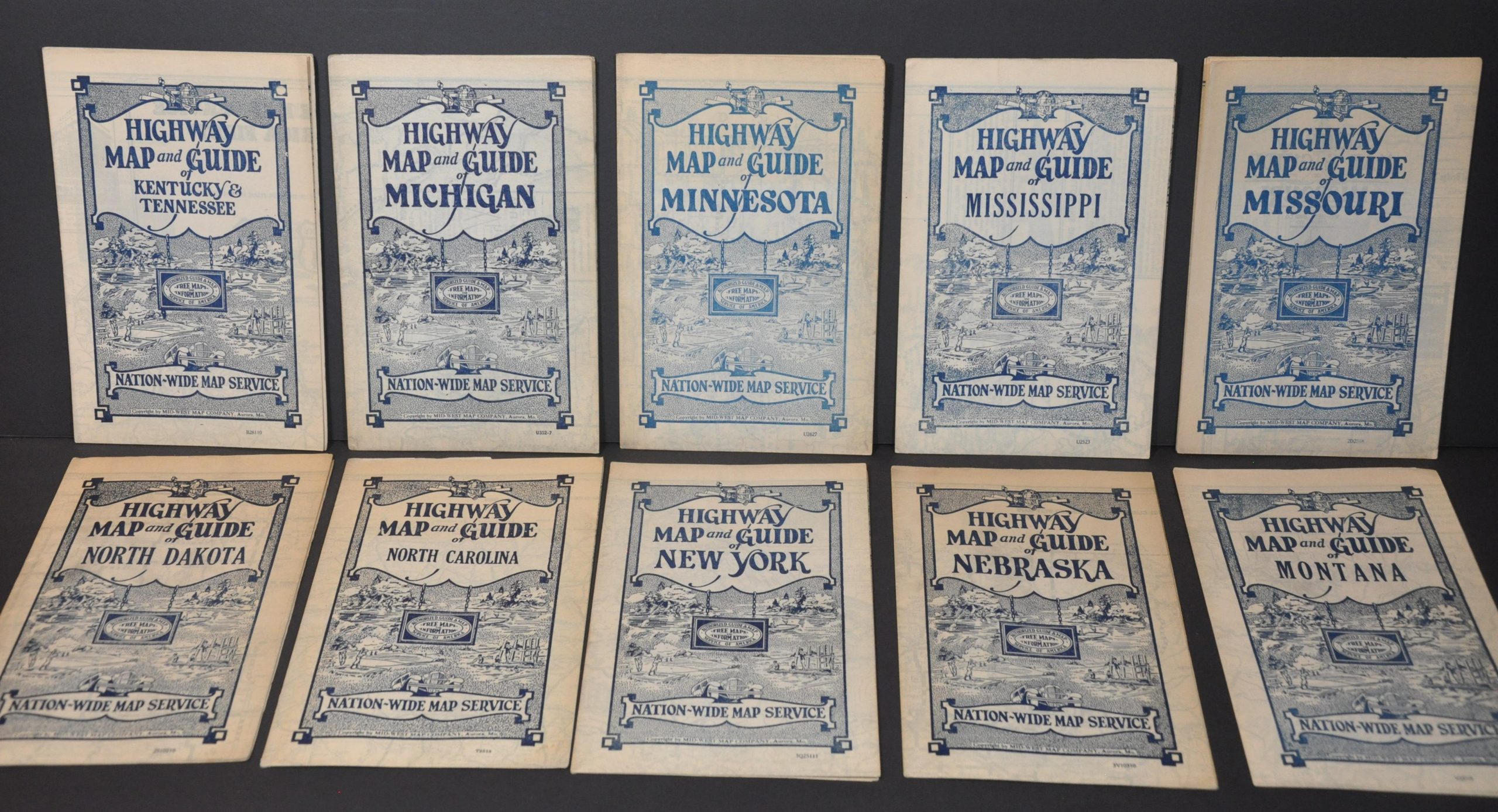
Highway Map and Guide of Kentucky & Tennessee
Highway Map and Guide of Louisiana
Highway Map and Guide of Maine
Highway Map and Guide of Massachusetts, Connecticut, & Rhode Island
Highway Map and Guide of Michigan
Highway Map and Guide of Minnesota
Highway Map and Guide of Mississippi
Highway Map and Guide of Missouri
Highway Map and Guide of Montana
Highway Map and Guide of Nebraska
Highway Map and Guide of New York
Highway Map and Guide of North Carolina
Highway Map and Guide of North Dakota
Highway Map and Guide of Ohio
Highway Map and Guide of Oklahoma
Highway Map and Guide of Pennsylvania & New Jersey
Highway Map and Guide of South Carolina
Highway Map and Guide of South Dakota
Highway Map and Guide of Texas
Highway Map and Guide of Utah
Highway Map and Guide of Vermont & New Hampshire
Highway Map and Guide of Virginia, West Virginia, Maryland & Delaware
Highway Map and Guide of Washington & Oregon
Highway Map and Guide of Wisconsin
Highway Map and Guide of Wyoming
Sources: Rumsey 3919.001; Arkansas Digital Heritage;
Map Details
Publication Date: c. 1933
Author: Mid-West Map Company
Sheet Width (in): See Description
Sheet Height (in): See Description
Condition: A-
Condition Description: Complete group of 38 lithographed maps covering the roads of the contiguous 48 states. Though variously oriented, each sheet measures approximately 21.5" x 16.75" when unfolded into 8 panels. All are in good condition or better, with some examples showing heavier toning, separation at fold lines, or small tears along the outer edges that are consistent with age and use. Please inquire for further details on specific states.
Out of stock

