Compilation of Reports of the Committee on Foreign Relations, United States Senate, 1789 – 1901, Vol. VIII
$225.00
The foreign affairs of the U.S. Senate in the late 19th century.
1 in stock
Description
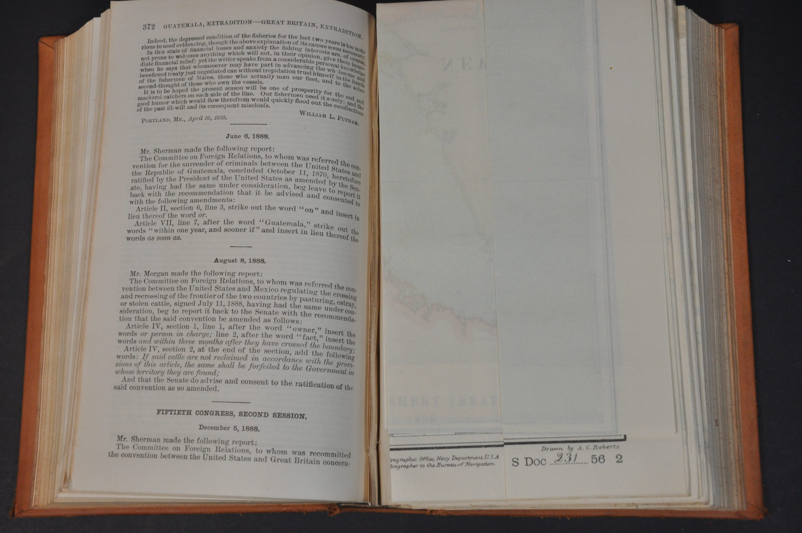
“The fishermen are in a rose condition to-day than they have been for a number of years, for the reason that they had two bad seasons in succession…It is hoped that the present season will be one of prosperity for the cod and mackerel catchers on each side of the line. Our fishermen need it sorely, and the good humor which would flow therefrom would quickly flood out the recollections of the past ill-will and its consequent mischiefs” – William Putnam, pgs. 371 – 372.
This attractive volume of Congressional reports was published in Washington, D.C. by the Government Printing Office in 1901. Its 700-plus pages focus on government treaties and their respective legislation from the perspective of the Committee on Foreign Relations of the United States Senate. Historical information is provided dating back to the founding of the American republic and a diverse array of countries are discussed, including Denmark, Hawaii, Uruguay, Mexico, Prussia, and Great Britain.
The last is referenced at length, with a detailed report on the history of fishing rights between the two nations taking up over 100 pages (pg. 259 – 372). Four folding maps were included to accompany the report:
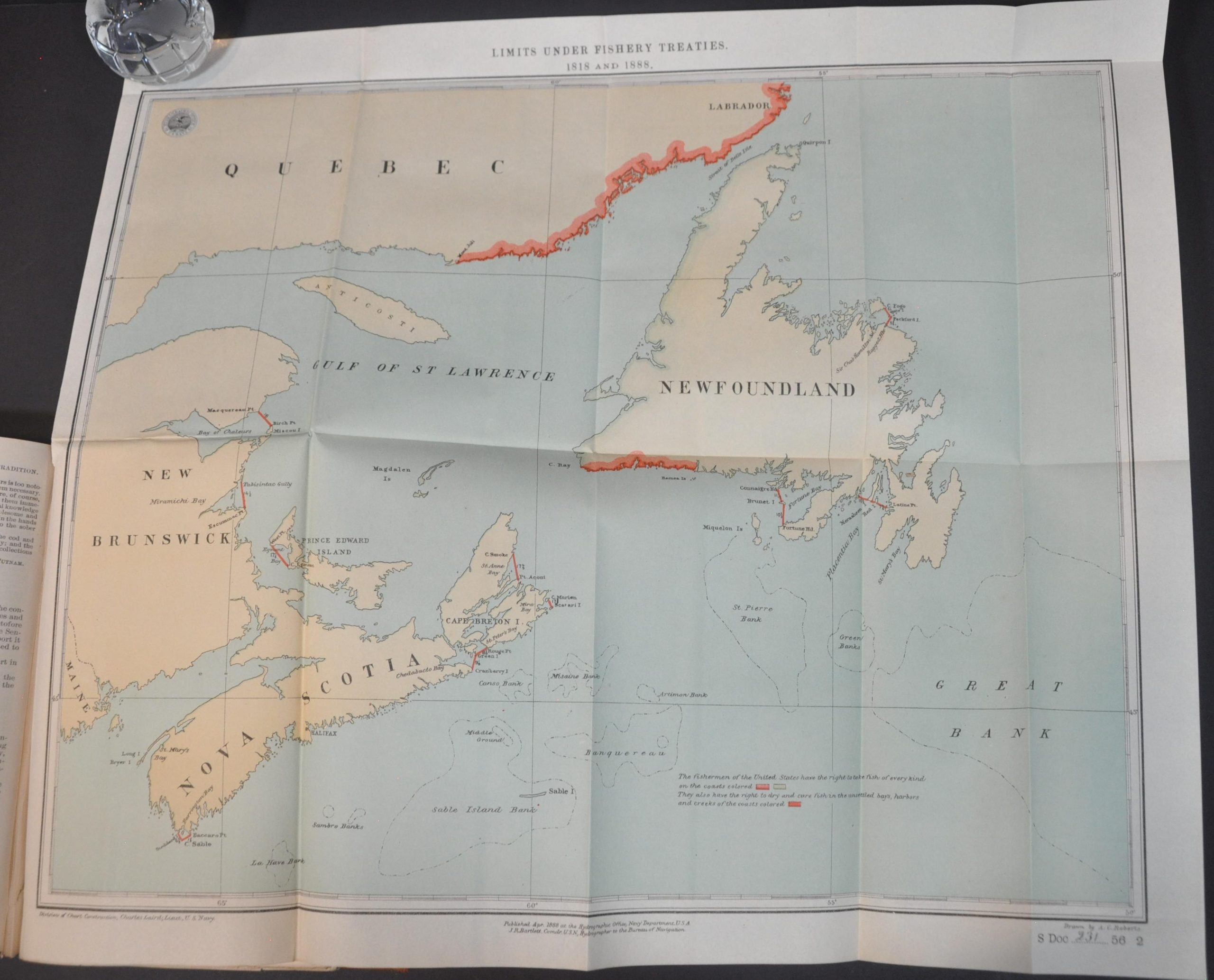
Limits Under Fishery Treaties 1818 and 1888 – 20.25″ x 17.25″. Colored lithograph that highlights the coastline of Quebec, Newfoundland, and New Brunswick where Americans have the right to fish and dry their catch.
East Coast of North America Sheet IV – 20.5″ x 32.75″ – Large reprinting of the U.S. Coast Survey chart from 1870 that covers the coast between North Carolina and Rhode Island. Mackerel fishing grounds are highlighted in green.
North East Coast of North America Sheet III – 38.75″ x 29.5″. Large reprinting of the U.S. Coast Survey chart from 1870 that covers the coast of North America New Jersey and Nova Scotia (a continuation of the previous sheet). Mackerel, codfish, and inshore fishing grounds are highlighted in green, brown, and pink, respectively.
The River and Gulf of St. Lawrence, Newfoundland, Nova Scotia, and the Banks Adjacent – 35.5″ x 27.25″ – Later reprinting of British Admiralty Charts covering the coastline between Maine and Labrador. The Grand Banks are prominently featured, and fishing grounds of various species and treaty provisions are highlighted.
Map Details
Publication Date: 1901
Author: Government Printing Office
Sheet Width (in): See Description
Sheet Height (in): See Description
Condition: A-
Condition Description: Volume VIII of a larger series of Congressional reports of the Committee of Foreign Relations. Complete, with 723 pp. bound in original full leather with gilt embossed spine. The covers are a bit scuffed and the contents are lightly to moderately toned, but overall in very good to near fine condition. Includes four large folding maps with light creasing and small tears along the binding edge, otherwise near fine.
$225.00
1 in stock


