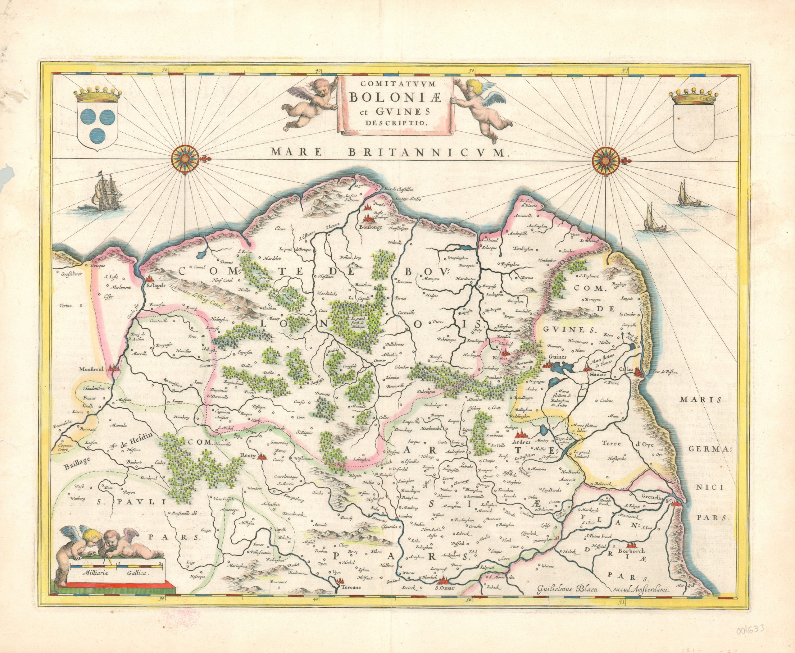
Comitatum Boloniae et Guines Descriptio
$150.00
Decorative 17th century map of the French coast immediately opposite England.
1 in stock
Description
Oriented with west at the top, this detailed copperplate engraved map covers the north coast of France between the Canche River at Etapels and the River Aa at Gravelines. It includes the important harbors of Bolougne and Calais, which is situated directly across the English Channel from Dover. Geographic features are depicted pictorially, and several sailing ships can be seen in the channel.
The map features several additional decorative elements, including a tapestry style title cartouche held aloft by two puttis, a distance scale, and two coats of arms. The upper left (three circles) represents the County of Boulogne, but the upper right is blank.
Map Details
Publication Date: c. 1650
Author: Willem Janszoon Blaeu
Sheet Width (in): 22.25
Sheet Height (in): 18.50
Condition: B+
Condition Description: Several tears along the outer edges, including one on the right side that has entered the image near the coat of arms (repaired on verso). The sheet remains bright, with attractive hand color. Very good condition.
$150.00
1 in stock

