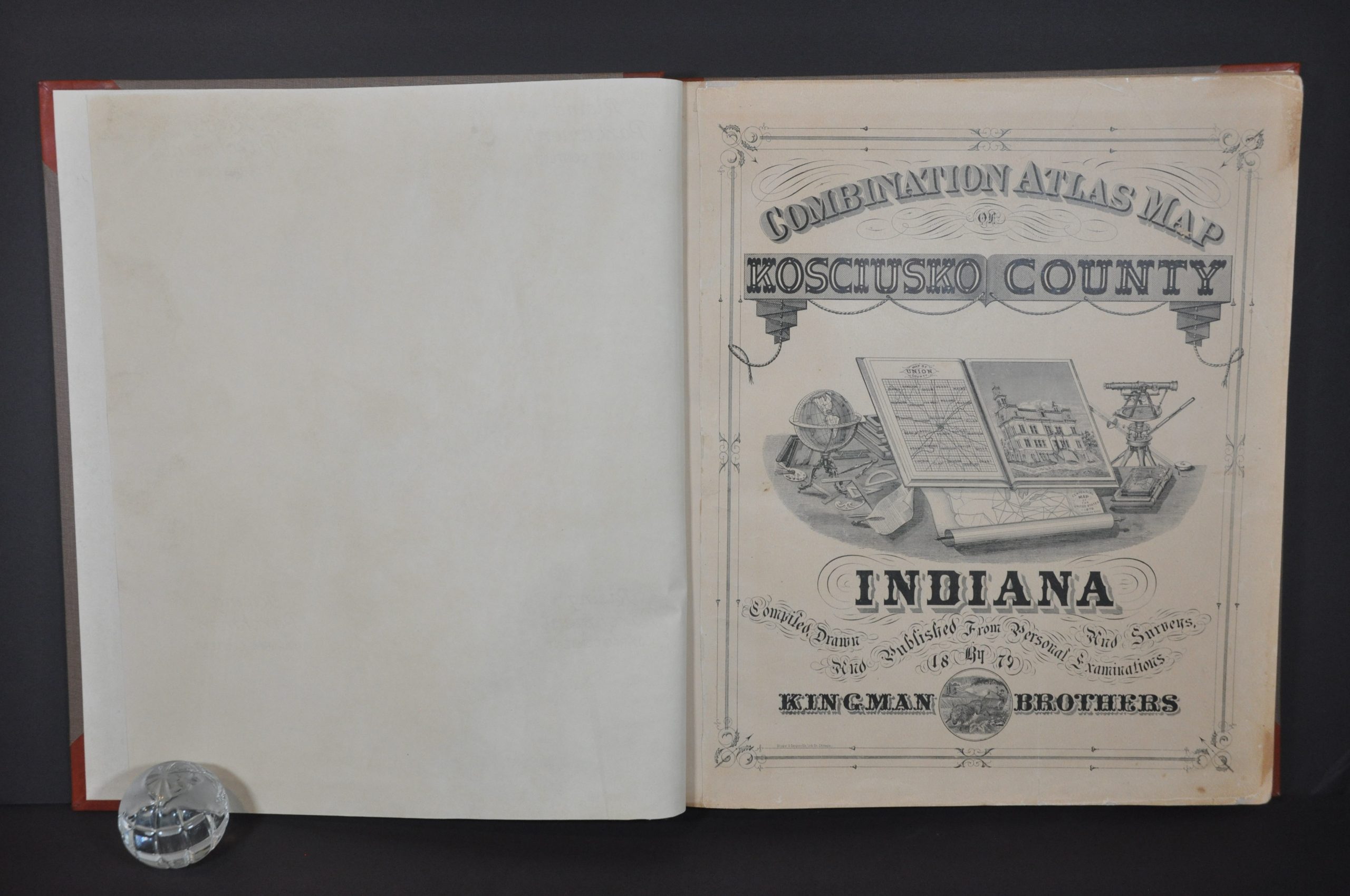
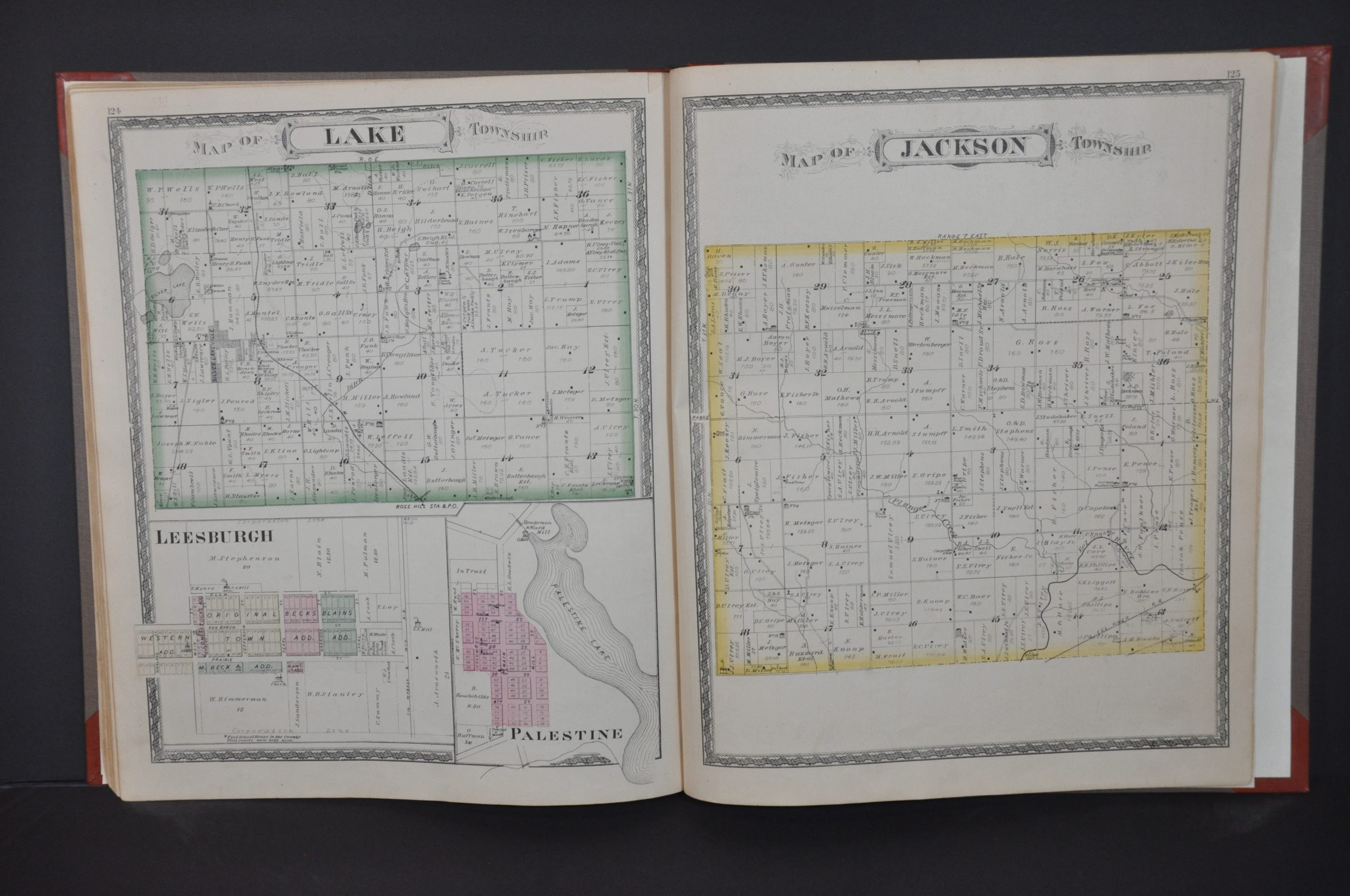
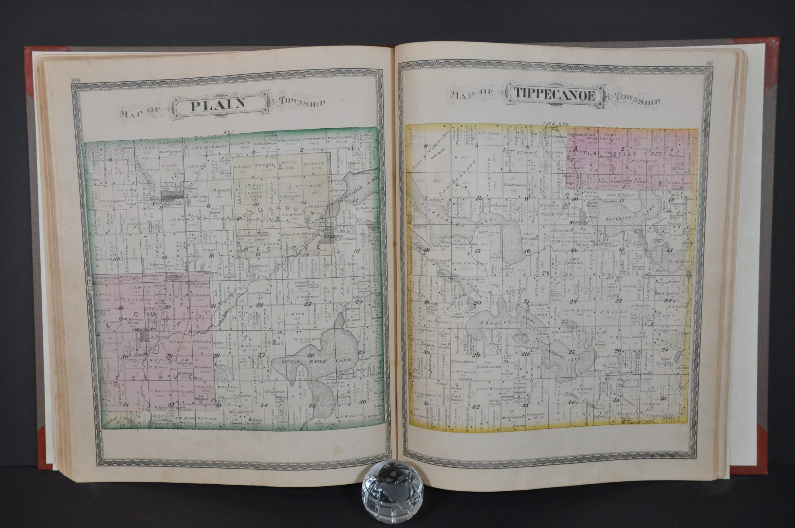
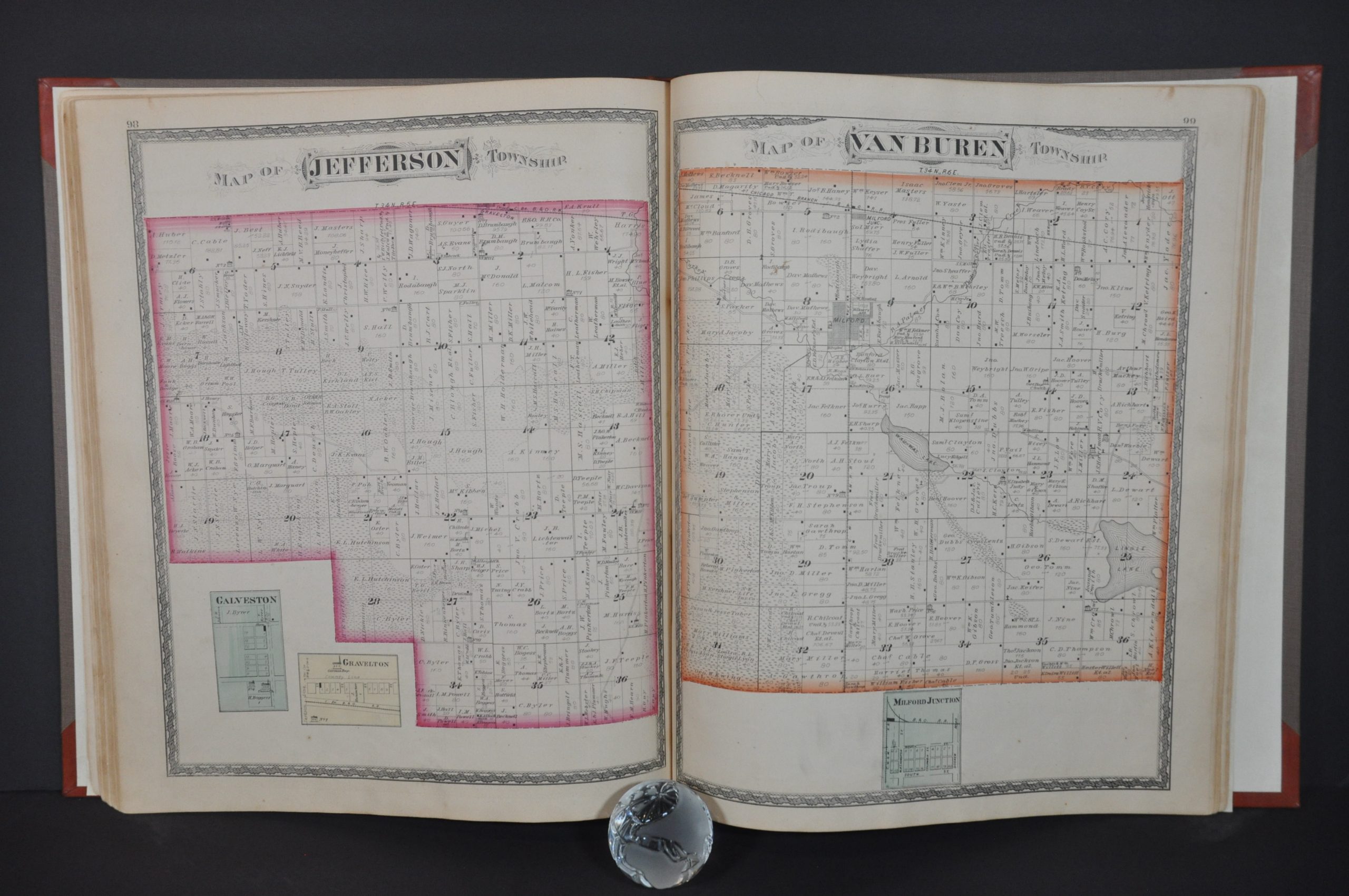
Combination Atlas Map of Kosciusko County Indiana
$400.00
Commemorating Polish heritage in Indiana.
1 in stock
Description
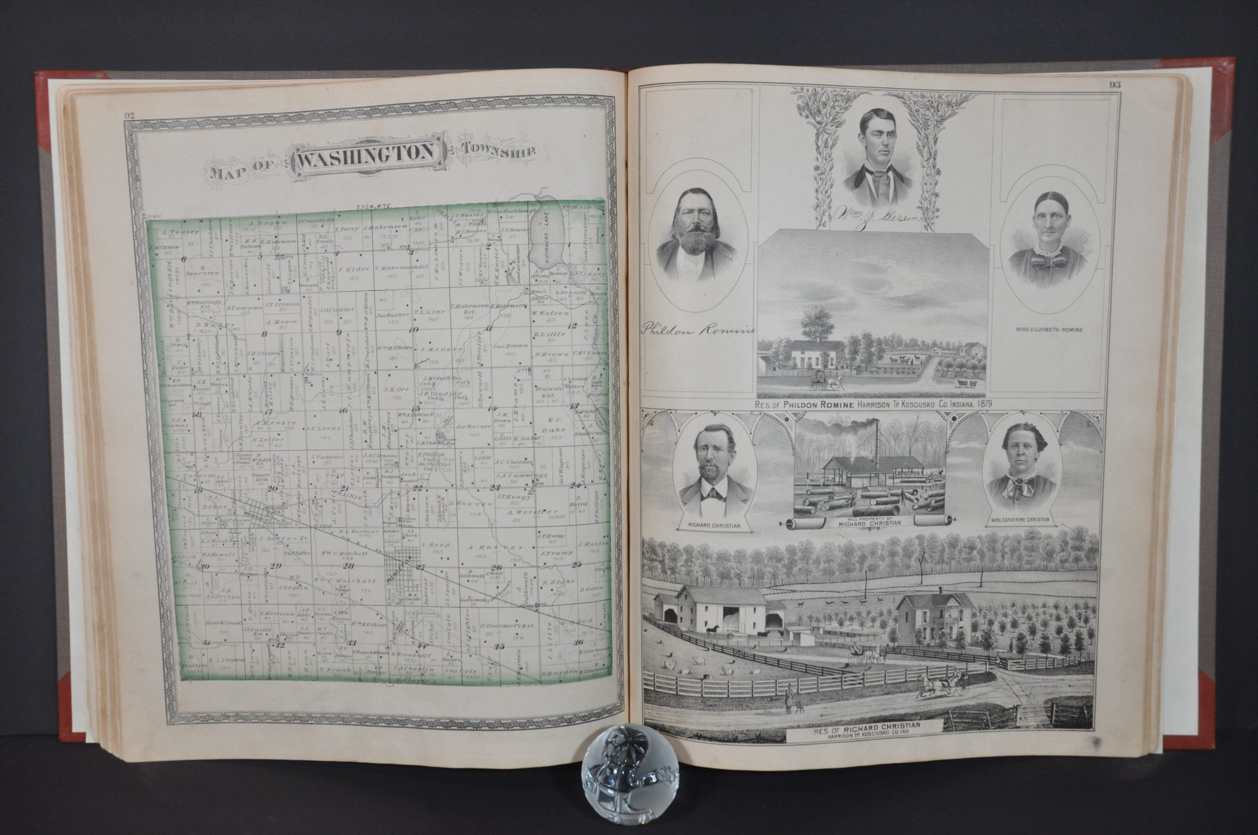
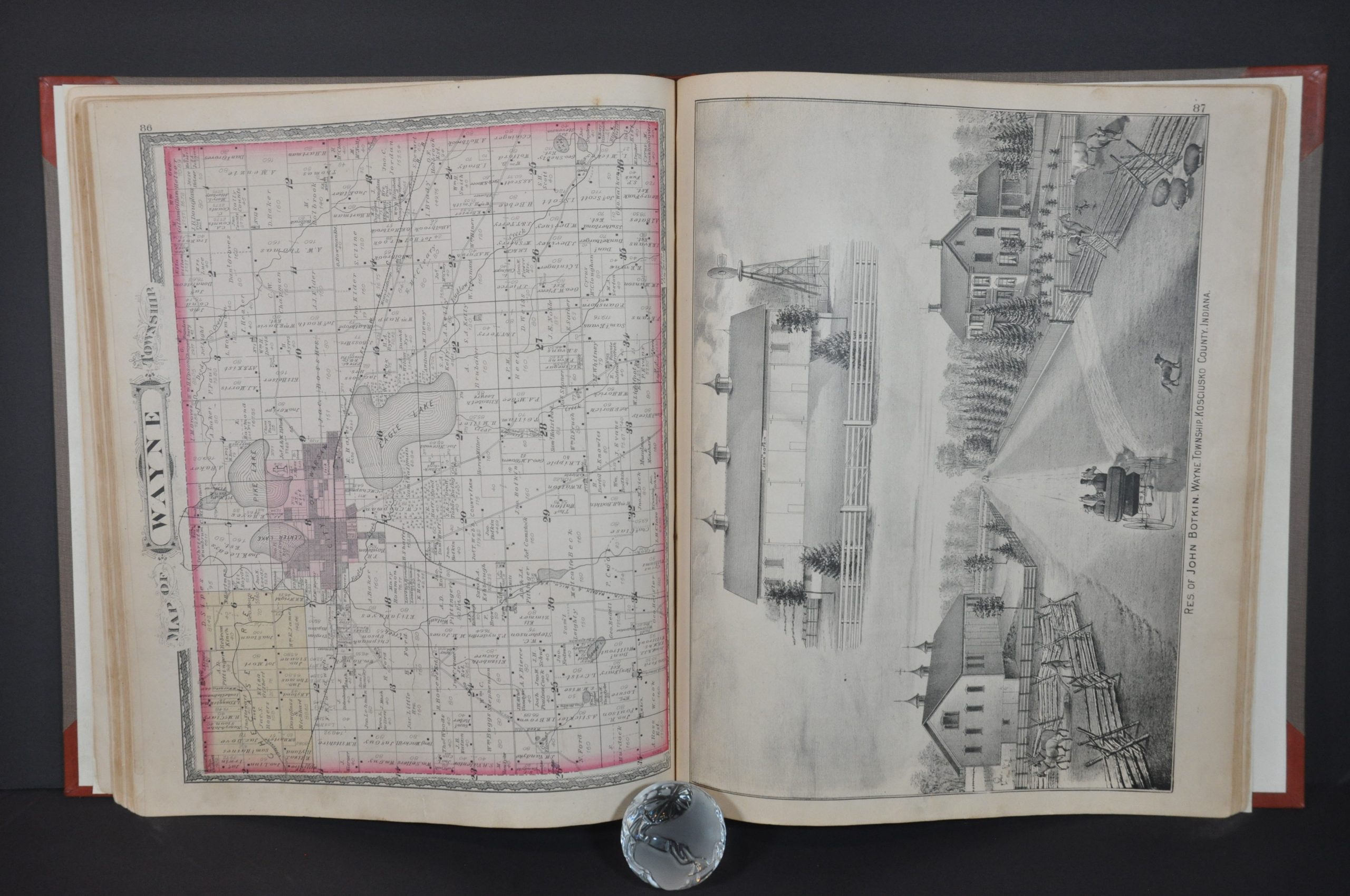
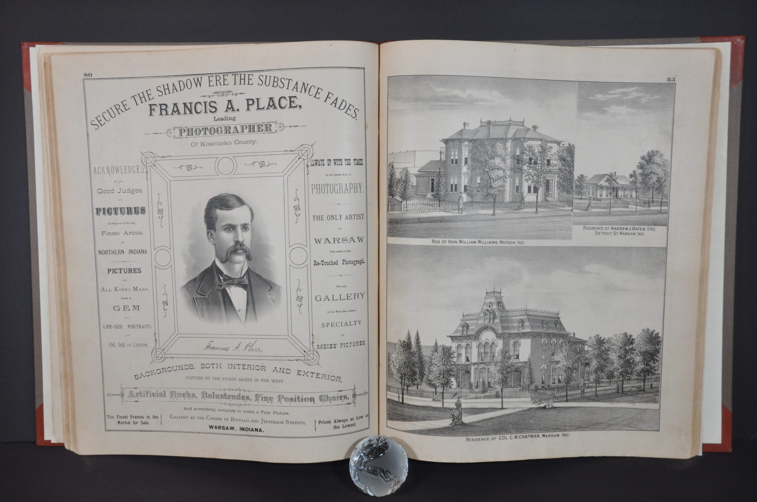
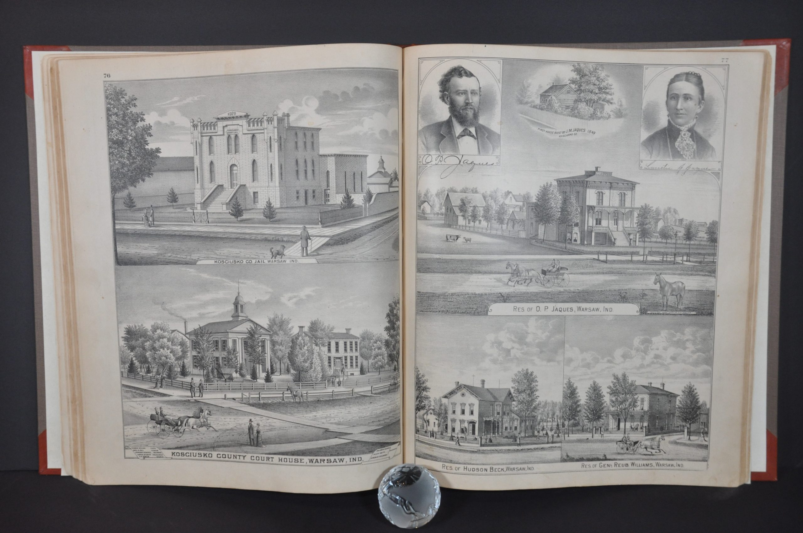
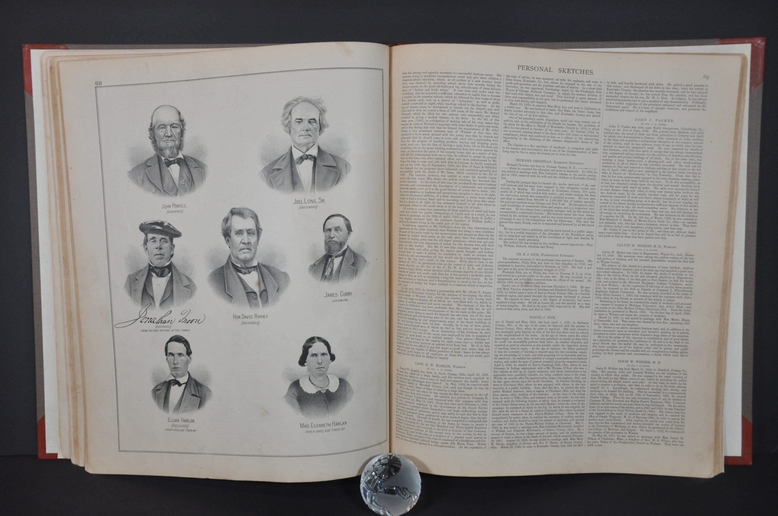
This marvelously detailed atlas of Kosciusko County Indiana was compiled, drawn, and published in Chicago by the Kingman Brothers in 1879. Many 19th-century atlases were sold on a pre-order subscription basis in order to defray the significant upfront costs of production. For an extra fee, residents and companies could pay to have a portrait, advertisement, or illustrated view of their home or business included in the volume. Even prized farm animals were often memorialized!
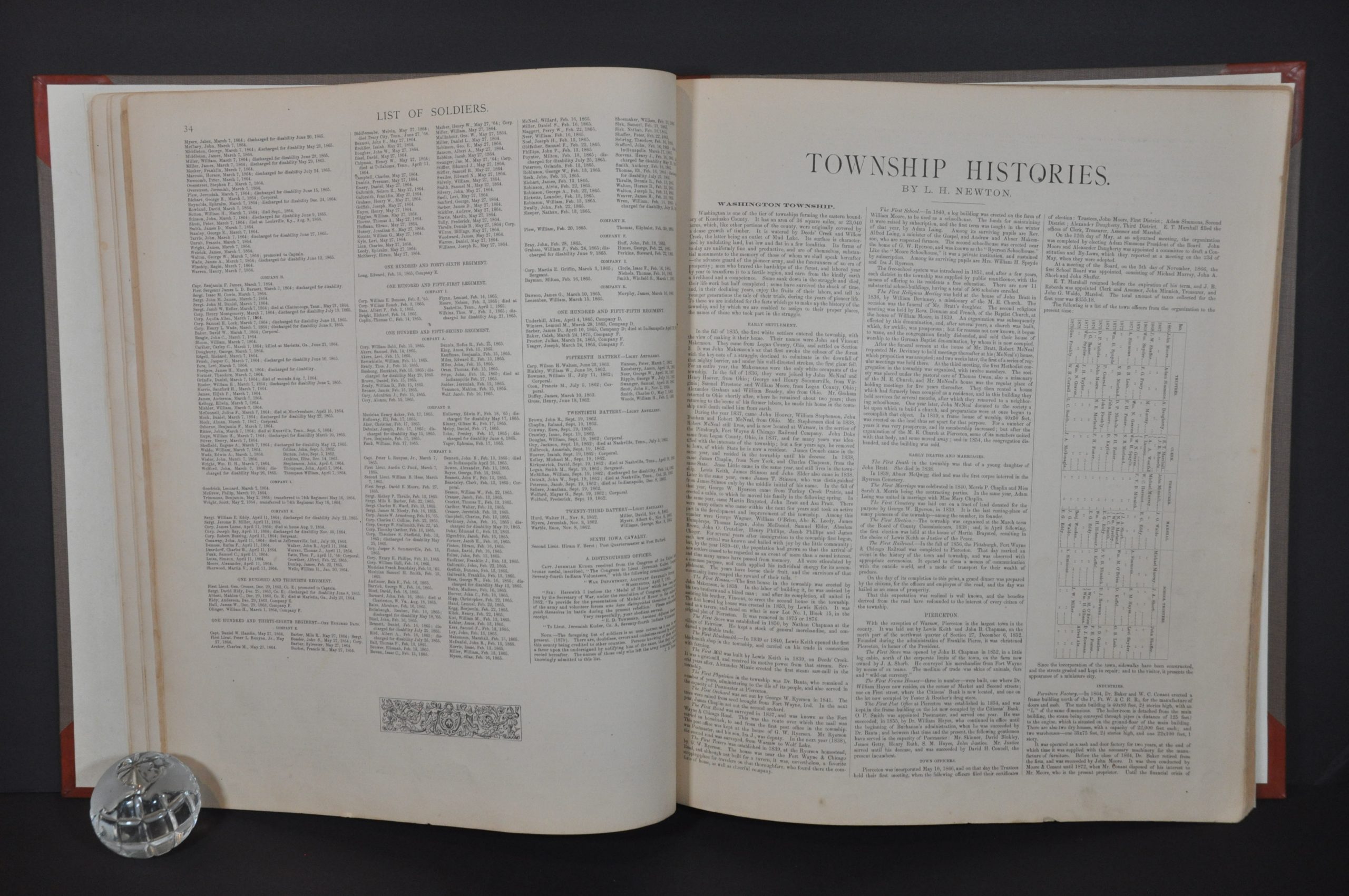
Numerous such examples are included throughout, offering a fascinating visual window into the past. One full-page advertisement is for Francis E. Place, “Leading Photographer of Kosciusko County” and “The only gallery in the West that makes a specialty of Babies’ Pictures.” Over 60 pages of historical information, township biographies, and personal sketches of prominent residents (living and dead) provide a wealth of additional information.
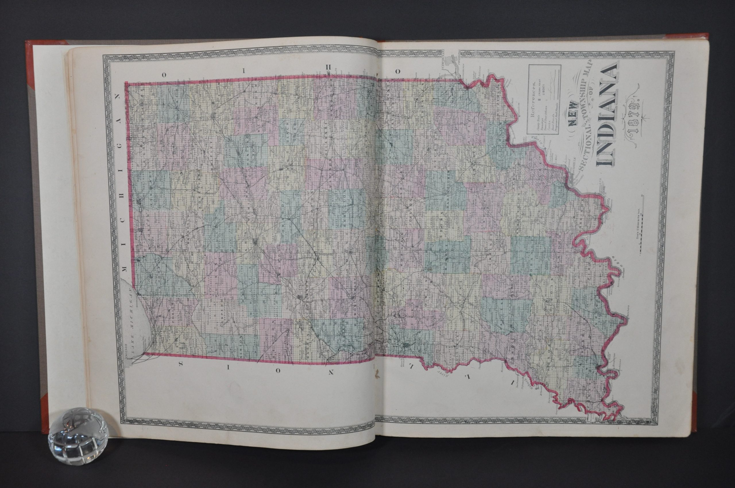
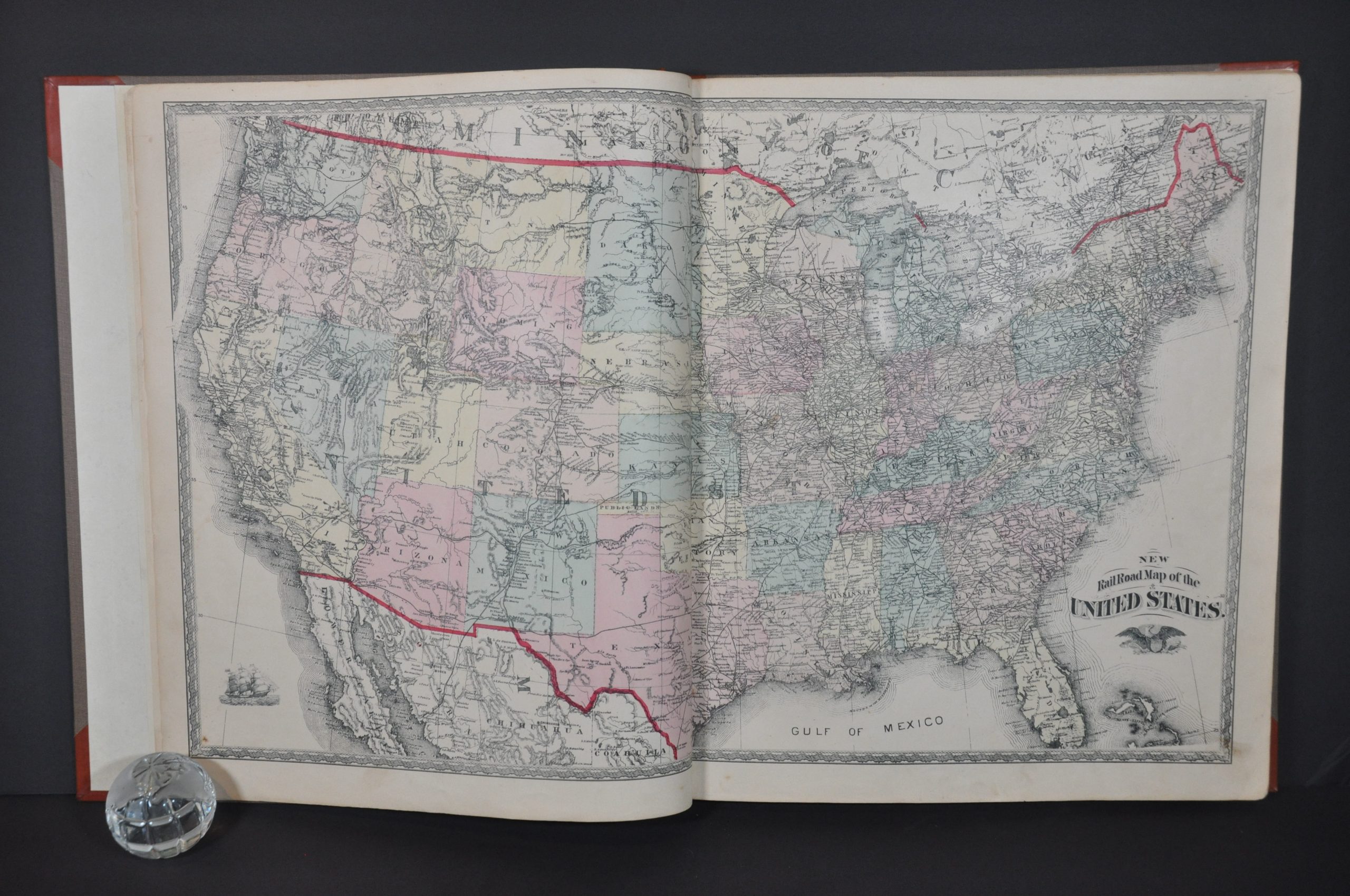
Maps of Indiana and the United States are followed by 17 additional plat maps of village, cities, and townships across the county. Each labels land owners, transportation routes, post offices, churches, geographic features, local businesses, schools, and other locations of interest. An incredible snapshot of county in the final quarter of the 19th century. According to Indiana Connection,
“When settlers began filling in the new state of Indiana in the first half of the 1800s, they proudly adopted names relating to their heritage. One county’s Polish ancestry stands out in its name — Kosciusko — and its seat — Warsaw. The northern Indiana county, founded in 1836, is named after the Polish general and military architect Tadeusz Kosciuszko who served in the Continental Army during the American Revolutionary War. The county seat is named after the capital of Poland.
By mid-century, with its location amid the county’s plentiful natural glacial lakes, Warsaw and the county had become an early tourism destination. The lakes, along with the railroads, brought more residents — and industry. The lakes and one industry in particular — medical devices — have given Warsaw and Kosciusko County much of its character and economic prosperity since the late 19th century.”
Source: Indiana Connection
Map Details
Publication Date: 1879
Author: Kingman Brothers
Sheet Width (in): 17.25
Sheet Height (in): 14.25
Condition: A-
Condition Description: Rebound in new orange quarter leather with gilt accents and brown cloth boards. Complete, 132 pp. with 3 double page and 16 single page maps. Contents are generally very good. Soiled and worn title page. A handful of text sheets have a 2" damp stain across the center of the page, but no maps are affected. Moderate edge wear (including tiny chips and small tears), scattered spots of soiling and a bit of discoloration here and there, but the rest of the sheets are in very good condition.
$400.00
1 in stock


