
Colton’s New Township Map of Pennsylvania
$275.00
An impossibly fine example of Colton’s pocket map of Pennsylvania.
1 in stock
Description
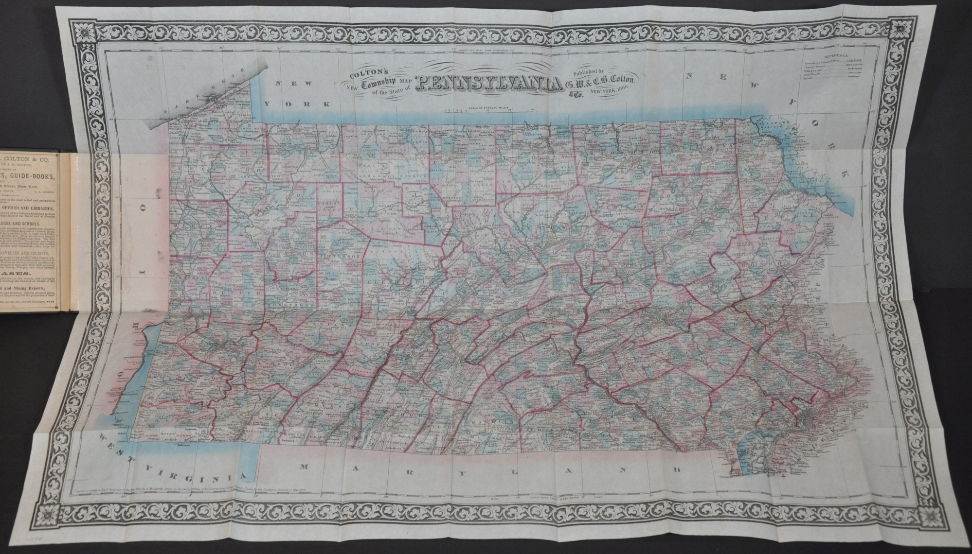
This skillfully engraved map of the United States uses attractive stenciled color to delineate the various counties and townships across the state of Pennsylvania. Roads, railroads, and canals are shown in addition to settlements of various sizes according to the legend in the upper right corner.
Further locations of interest like taverns, schools, mines, and mills are also noted throughout the image. Oil from the west and coal from the eastern portions of Pennsylvania literally fueled much of America’s growth during the second half of the 19th century. Topography is depicted in hachure and a variety of geographic features are labeled. Springs, creeks, swamps, and mountains, and more dot the landscape.
The map was published in New York in 1866 by G.W. & C.B. Colton. An advertisement for the firm and its various publications can be seen pasted on the front cover.
Map Details
Publication Date: 1866
Author: G.W. & C.B. Colton & Company
Sheet Width (in): 27.25
Sheet Height (in): 19
Condition: A
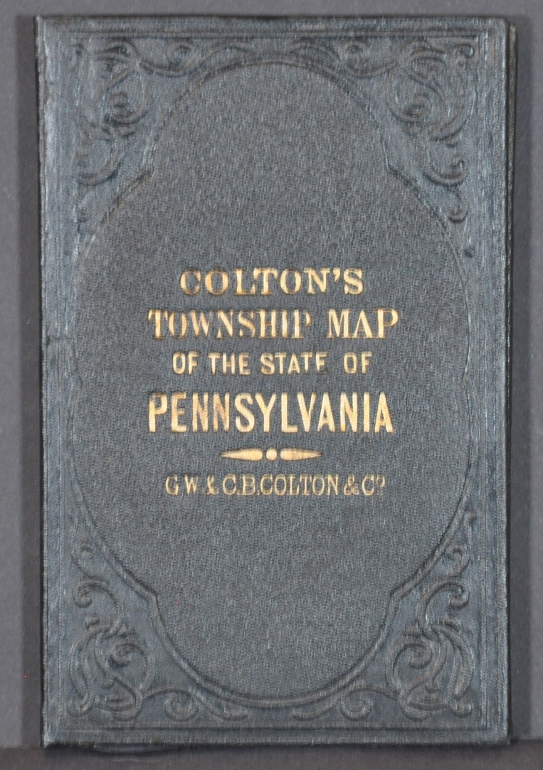
Condition Description: Pocket map folded into 36 segments and affixed to original gilt black boards. Apart from a little wrinkling and discoloration where the sheet is affixed to the back cover, the map is in stunning condition given its age and use. A bright sheet features original color that looks as though it's rarely been opened. Minor repairs on the verso were applied by a professional conservator.
$275.00
1 in stock