Colorado Hunting and Fishing Map
Hunting and fishing across Colorado during the mid-1960s.
Out of stock
Description
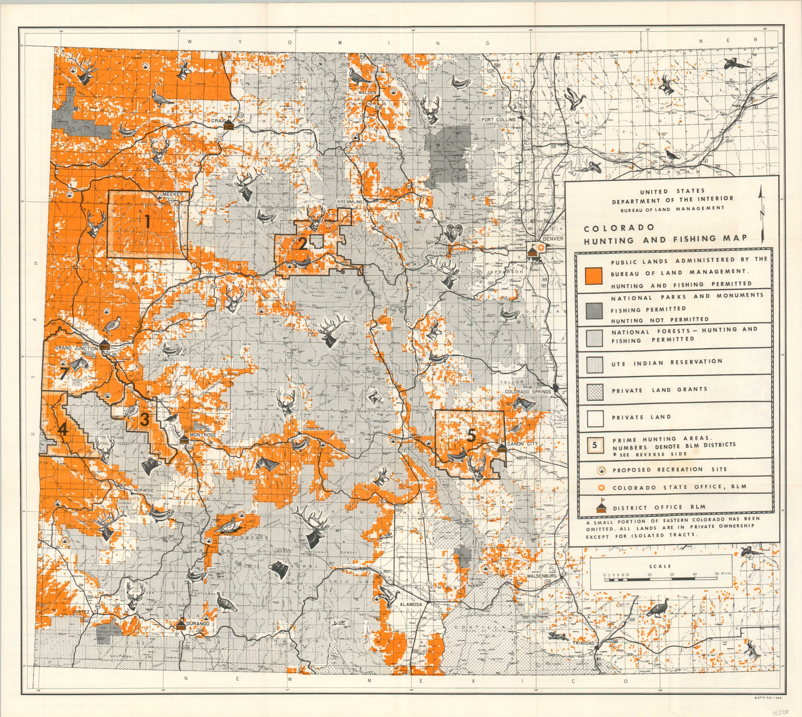
This vibrantly colored pocket map of Colorado was designed by the U.S. Bureau of Land Management and published by the Government Printing Office in 1964. Bright orange highlights the vast tracts of land dedicated to public use and concentrated primarily in the western part of the state. National Forests and Parks, Native American Reservations, and private land areas are shaded according to the legend in the lower right.
Proposed recreational sites and BLM offices are also noted. Scattered vignettes of local animal species highlight the diverse fish and game available to the intrepid outdoorsman.
Map Details
Publication Date: 1964
Author: Bureau of Land Management
Sheet Width (in): 22.5
Sheet Height (in): 20
Condition: A-
Condition Description: Creasing and light wear along originally issued fold lines and around the outer edge of the sheet, consistent with age and use. One small spot visible in the center left, in the legend. Very good condition overall.
Out of stock