
Coastwise Cruising Chart Puget Sound Area and Columbia River
$75.00
Cruise the Pacific Coast in the mid-1960s.
1 in stock
Description
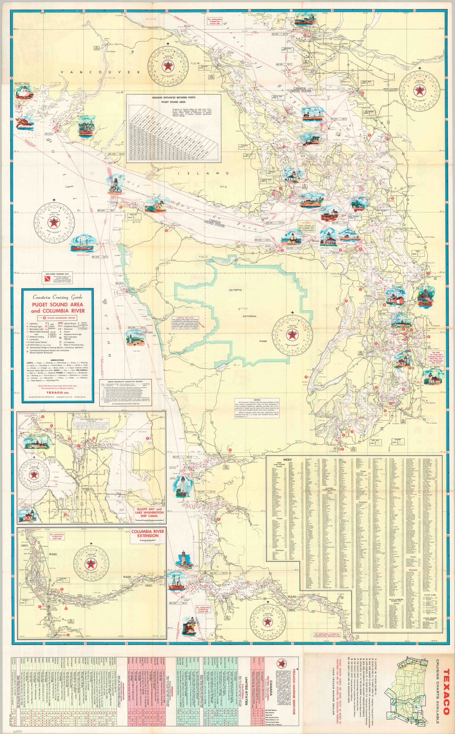
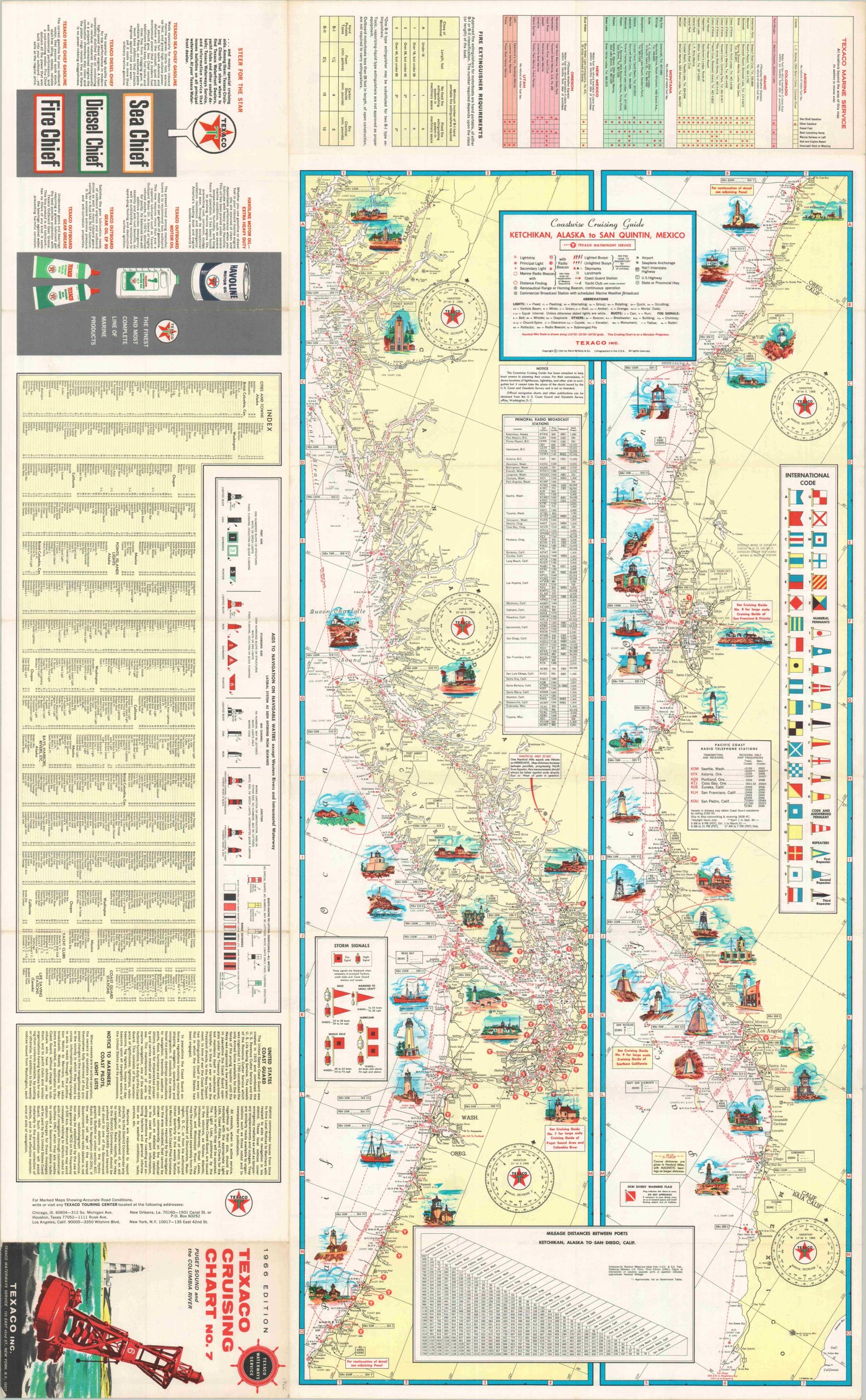
This detailed maritime chart was copyrighted in 1966 by Rand McNally & Company on behalf of Texaco, Inc. It was issued as Coastwise Cruising Chart Number 7 – one of ten reference guides covering waterways along America’s coasts and Great Lakes.
One side of the sheet shows the waters around Puget Sound, including the Pacific Coast from Vancouver to the Columbia River. A wealth of navigational information is presented – radio beacons, buoys, lights, shipping lanes, and more. Small illustrated vignettes showcase the architectural diversity of various lighthouses and beacons. An inset in the lower left shows Elliot Bay and the Lake Washington Ship Canal as well as an eastward extension of the Columbia River. The verso of the sheet presents a much smaller-scale chart of the entire Pacific Coast between Ketchikan, Alaska and San Quintin, Mexico. Oil advertisements, the international flag code, a mileage chart, and an index of place names are also provided.
Map Details
Publication Date: 1966
Author: Rand McNally & Company
Sheet Width (in): 23.00
Sheet Height (in): 37.00
Condition: A-
Condition Description: Double-sided map brochure with moderate wear and some discoloration along fold lines. Faint marginal wear also present. Good to very good condition overall.
$75.00
1 in stock