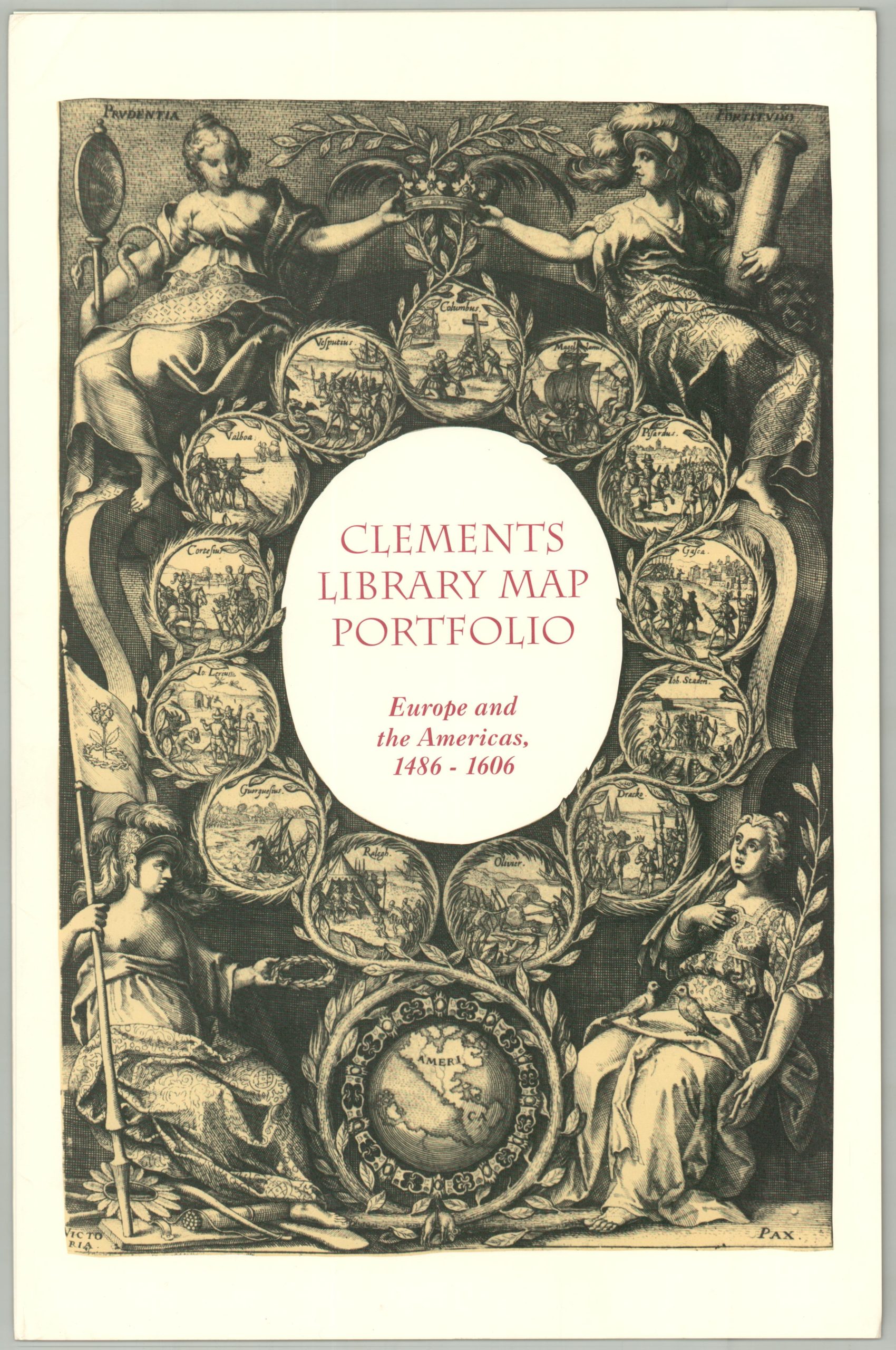
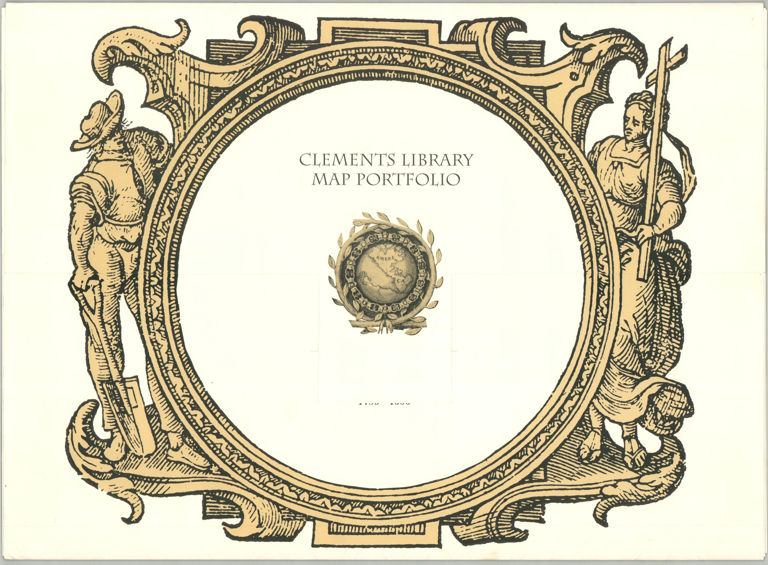
Clements Library Map Portfolio Europe and the Americas 1486 – 1606
$125.00
An affordable collection of important world maps!
1 in stock

Description
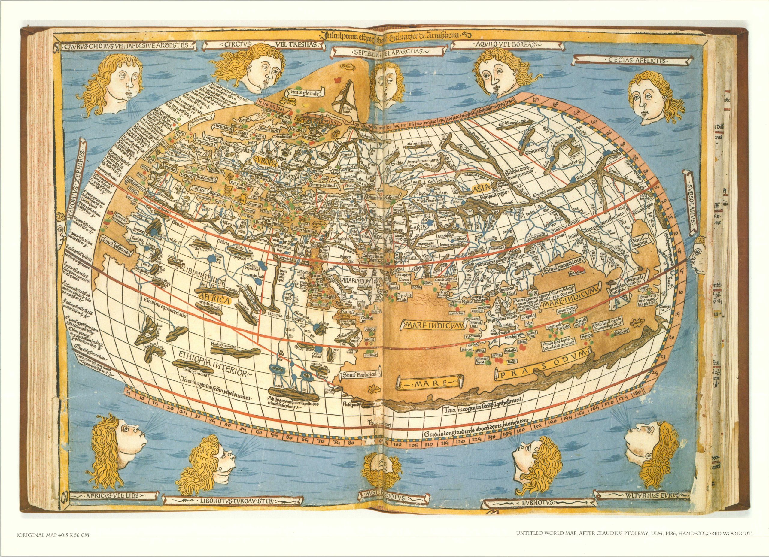
“Drawn from the rich collections of the William L. Clements Library, these maps begin with the 1486 Ptolemaic version of the world that helped convince Columbus he would find Asia by sailing west, and end in 1606, a century after the last voyage, when Hondius melded new geographical knowledge of the Americas with persistent myths of rich indigenous kingdoms.” – Preface
This marvelous assortment of early world maps was issued by the Clements Library in the mid-1990s to highlight several cartographic gems from its collections. Vibrant color reproductions are accompanied by brief descriptions of the five sheets by Ptolemy (Ulm, 1486), Sylvanus (1511), Waldseemuller (1513), Munster (1545), and Hondius (1606).
Map Details
Publication Date: c. 1994
Author: Clements Library
Sheet Width (in): 23.00
Sheet Height (in): 16.00
Condition: A
Condition Description: Five color printed reproduction maps in a sturdy paper folder (size given). Accompanied by a smaller folder, containing a brief introduction and accompanying description sheets. Some creasing in the corners and faint wear, but overall in very good condition.
$125.00
1 in stock