Clason’s Touring Atlas of the United States Ontario & Quebec
$150.00
See America First! with this 1927 Clason Touring Atlas.
1 in stock
Description
“In 1923, the Clason Map Company produced its first road atlas of the United States. An advertisement appearing in the August 4, 1923 issue of the Chicago Daily Tribune (shown at right) shows a picture of Clason’s “Best Roads of the United States” atlas and proclaims that it is “just off the press; nothing like it has ever been published before.” There is some validity to this claim. Although the Cram Co. had produced a “Good Roads Atlas of the United States” and an “Auto Trails and Commercial Survey of the United States” a few years earlier, the road component of theses atlases was rudimentary at best, consisting of nothing more than a few “main roads” that had been crudely overprinted in red on some already existing state railroad maps.
By contrast, Clason’s road atlas contained fresh state maps that focused just on the road networks and that provided such details as the mileage between towns as well as the quality of the roads. Rand McNally followed this approach as well when it launched its first U.S. road atlas one year later. Clason continued to issue updated versions of their road atlases each year until 1931.” [Liedholm & Greaves]
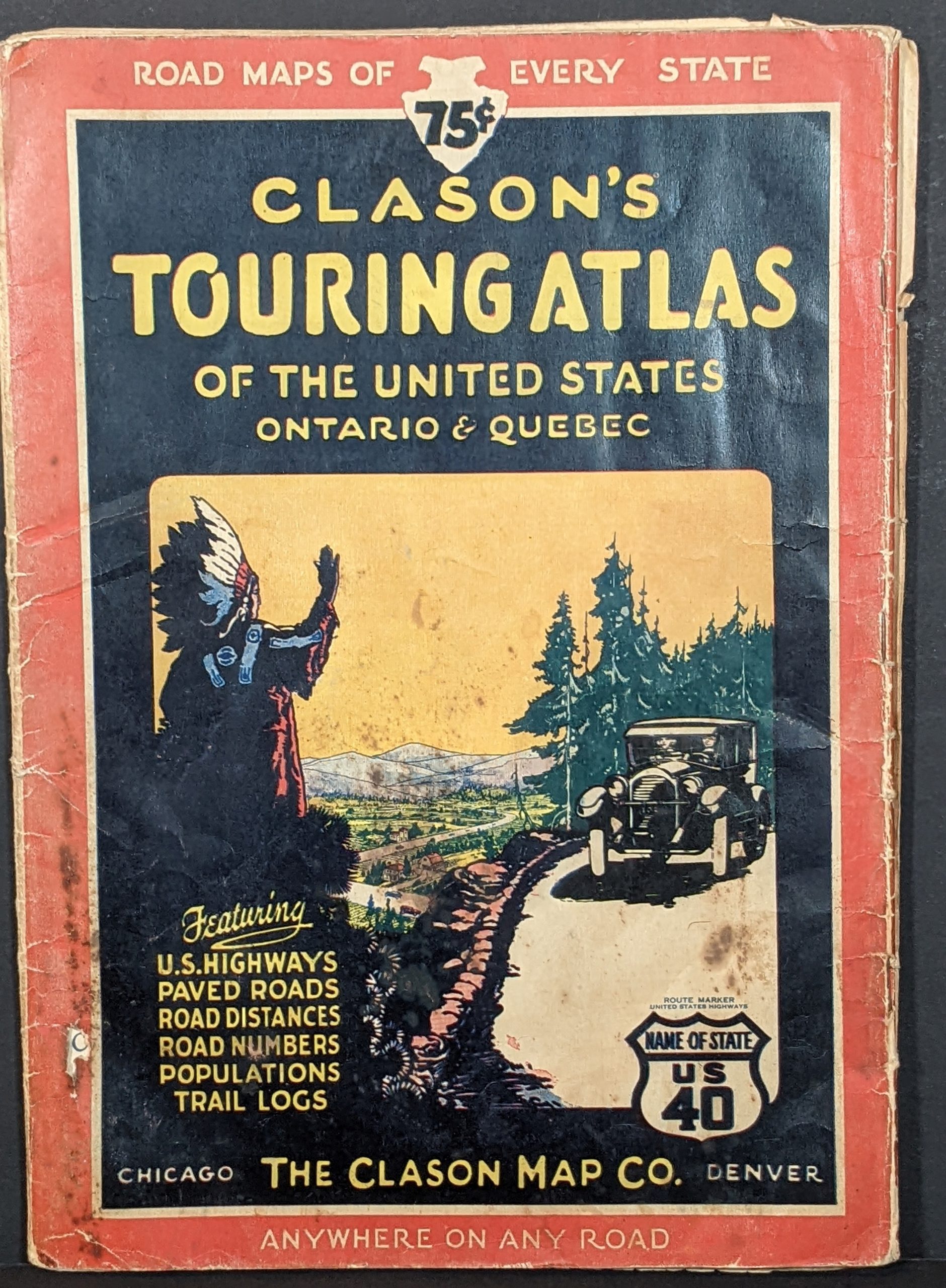
This is a copy of the Clason Map Company’s ‘Touring Atlas’ (as opposed to the ‘Motor Atlas’) issued for 1927. The decorative front cover features a distinctive image of a Native American waving to a Touring Car, while the verso presents an advertisement of Powerlube Motor Oil and Bearcat Motor Fuel. Additional text on the reverse of the cover provides helpful information on ‘How to Solve Car Troubles on the Road’, as well as license and motor laws of various states.
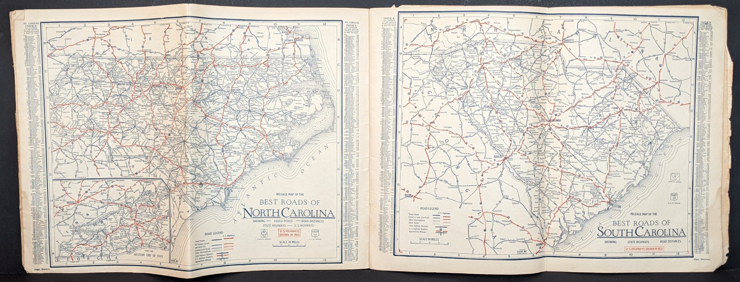
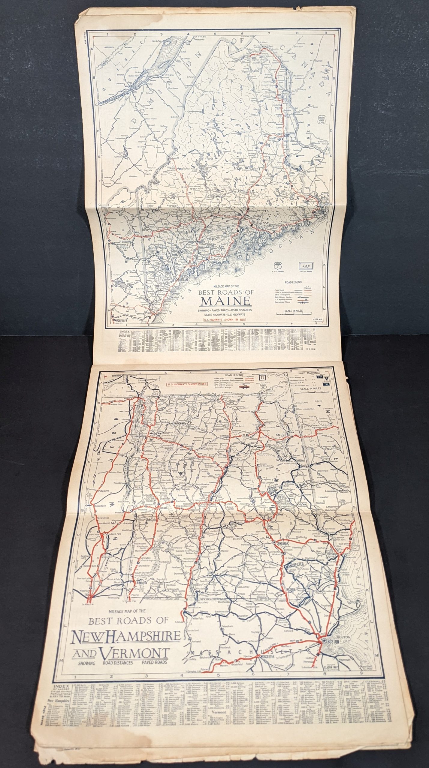
Subsequent contents include a highway map of America, road maps of the 48 states (plus Ontario and Quebec), as well as a distance table, and logs of major U.S. Highways. Each map highlights these primary routes in red, with main paved roads, secondary or gravel roads, and ‘other thoroughfares’ noted in blue. Inset maps show major urban areas while comprehensive indices list smaller towns, their respective location and population.
Published by the Clason Map Company of Denver & Chicago in 1927. Dated using text from the second page – “So called U.S. Highway systems shown on 1926 maps were misleading and bothersome to the motorist for two reasons. The final routing of the U.S. Highways was not settled or their proper numbers assigned until January 2, 1927, and they were not posted during the touring season of 1926. The complete and correct official system as shown here is radically different in routing and numbering from the preliminary outline of last year.”
Source: Dating Clason Road Maps.
Map Details
Publication Date: 1927
Author: Clason Map Company
Sheet Width (in): 16
Sheet Height (in): 12
Condition: B-
Condition Description: 48 pp. complete color lithographed road atlas, folded once with stapled binding and original pictorial paper cover. Moderate wear throughout, including scattered spotting, toning, creased corners, edge tears, etc. Several of the sheets show light damp staining along the bottom, confined to the margins. Fair to good overall.
$150.00
1 in stock


