
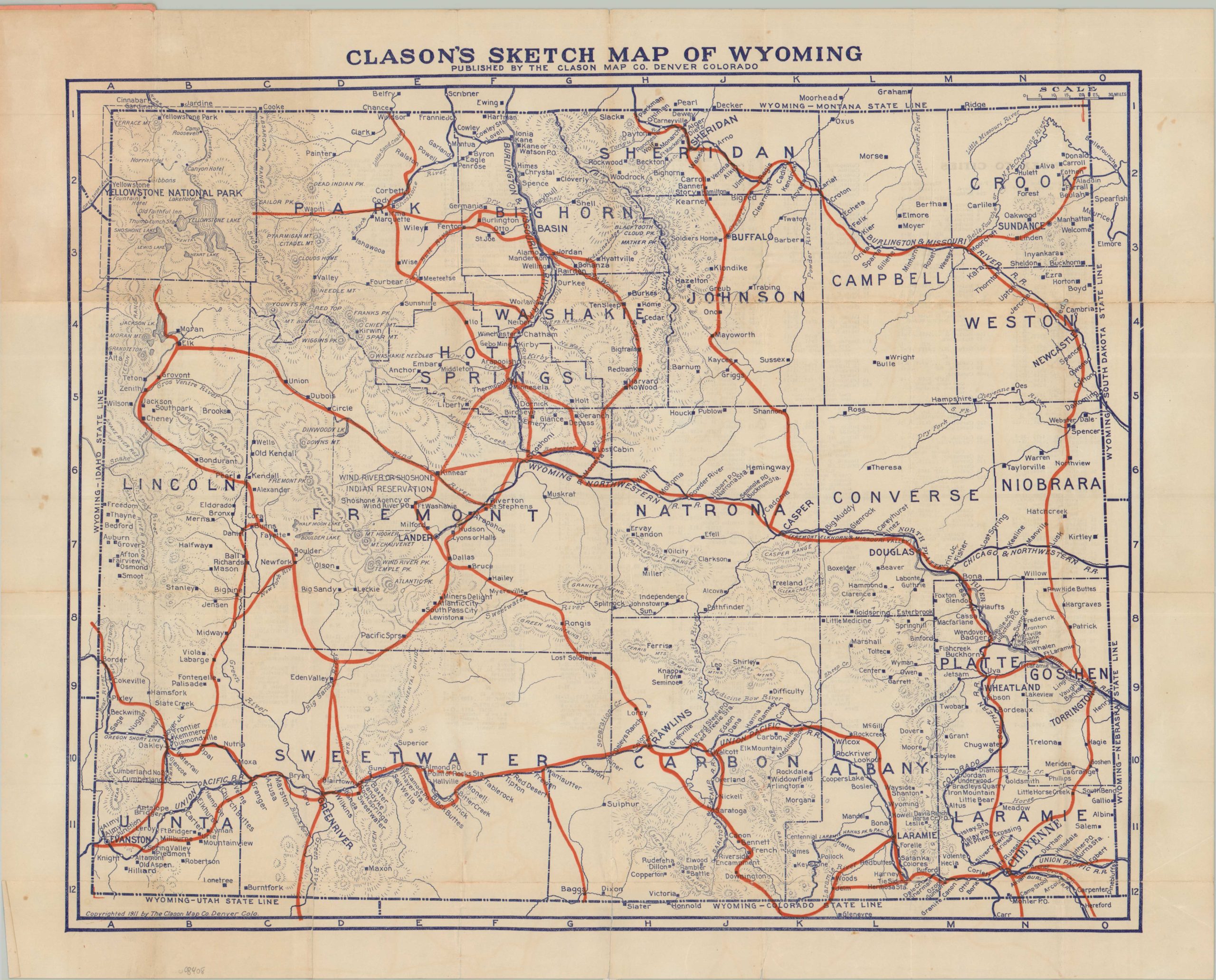
Clason’s Sketch Map of Wyoming
An uncommon early road map of Wisconsin.
Out of stock
Description
This fascinating pocket map of the Equality State highlights the embryonic road network in bright red, while the more familiar system of railroads is shown in blue. Whereas the latter dictated the pattern of settlement when first laid down, the former transportation option was determined by the presence of population. Residents (and visitors) were needed to drive on the ‘Good Roads’ that were being promoted nationwide at the time of publication.
Though no clear indication of road surface is given, it’s likely that the depicted routes were improved in some way (i.e. paved, gravel, or at minimum, graded dirt). Of particular interest is a ‘cutoff’ between Almond and Tablerock (both now ghost towns) in Sweetwater County. Topography is depicted in simple hachure and labeled elements include Yellowstone National Park, the Wind River Indian Reservation, and notable geographic features.
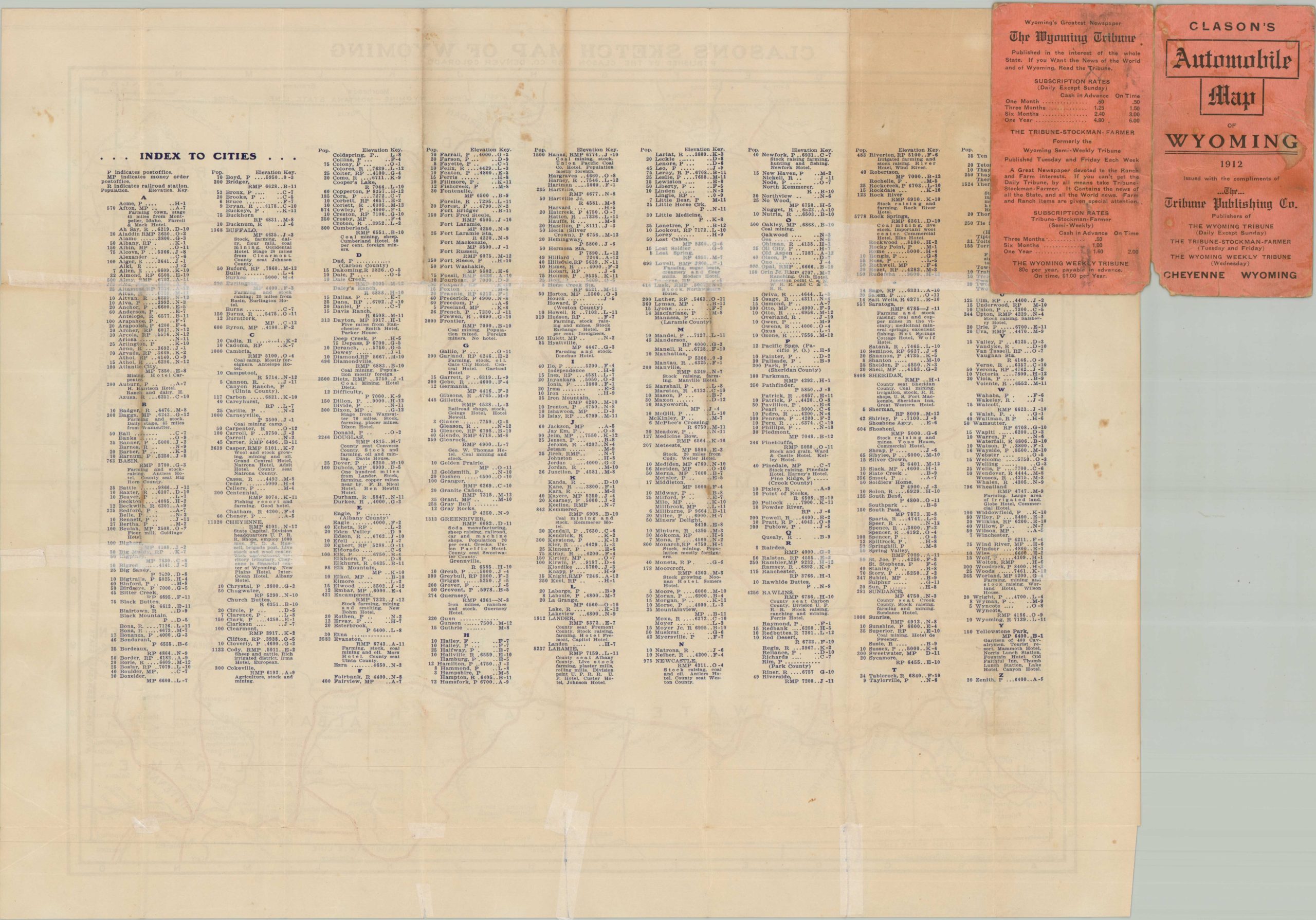
Published in 1912 by the Clason Map Company of Denver, Colorado. This example was distributed compliments of the Tribune Publishing Company of Cheyenne, Wyoming. At the time, the automobile was an unfamiliar sight on the roads of Wyoming (fewer than 2,000 registered statewide), which were still dominated by the horse, wagon, and carriage.
Map Details
Publication Date: 1912
Author: Clason Map Company
Sheet Width (in): 21.00
Sheet Height (in): 17.00
Condition: B
Condition Description: Single-sided color printed map folded and affixed to small orange paper wraps. Numerous splits and a few irregular tears repaired on the verso with archival tape. Some moderate discoloration in the upper left, were previously folded, and light toning along folds. Good condition overall.
Out of stock